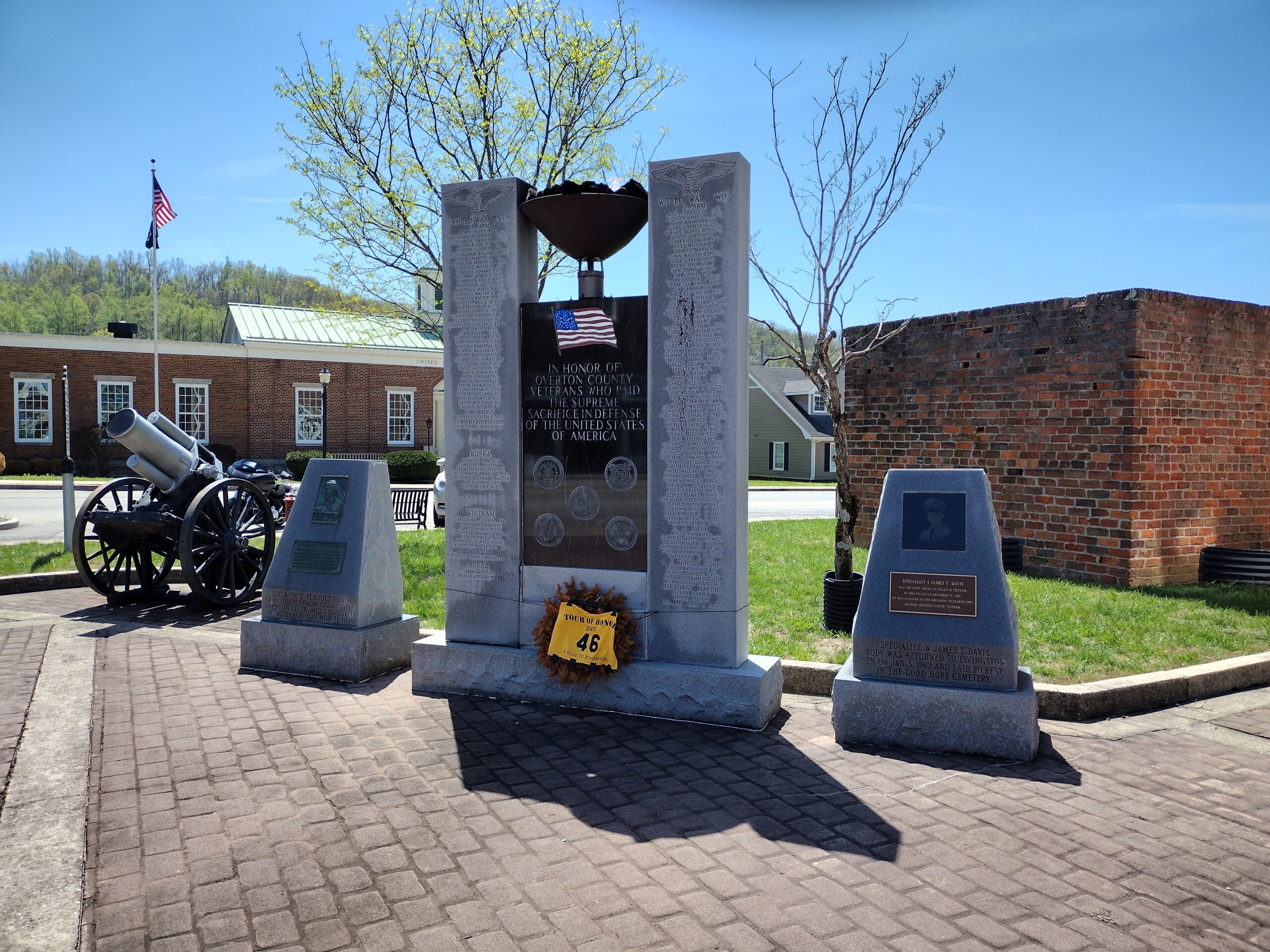
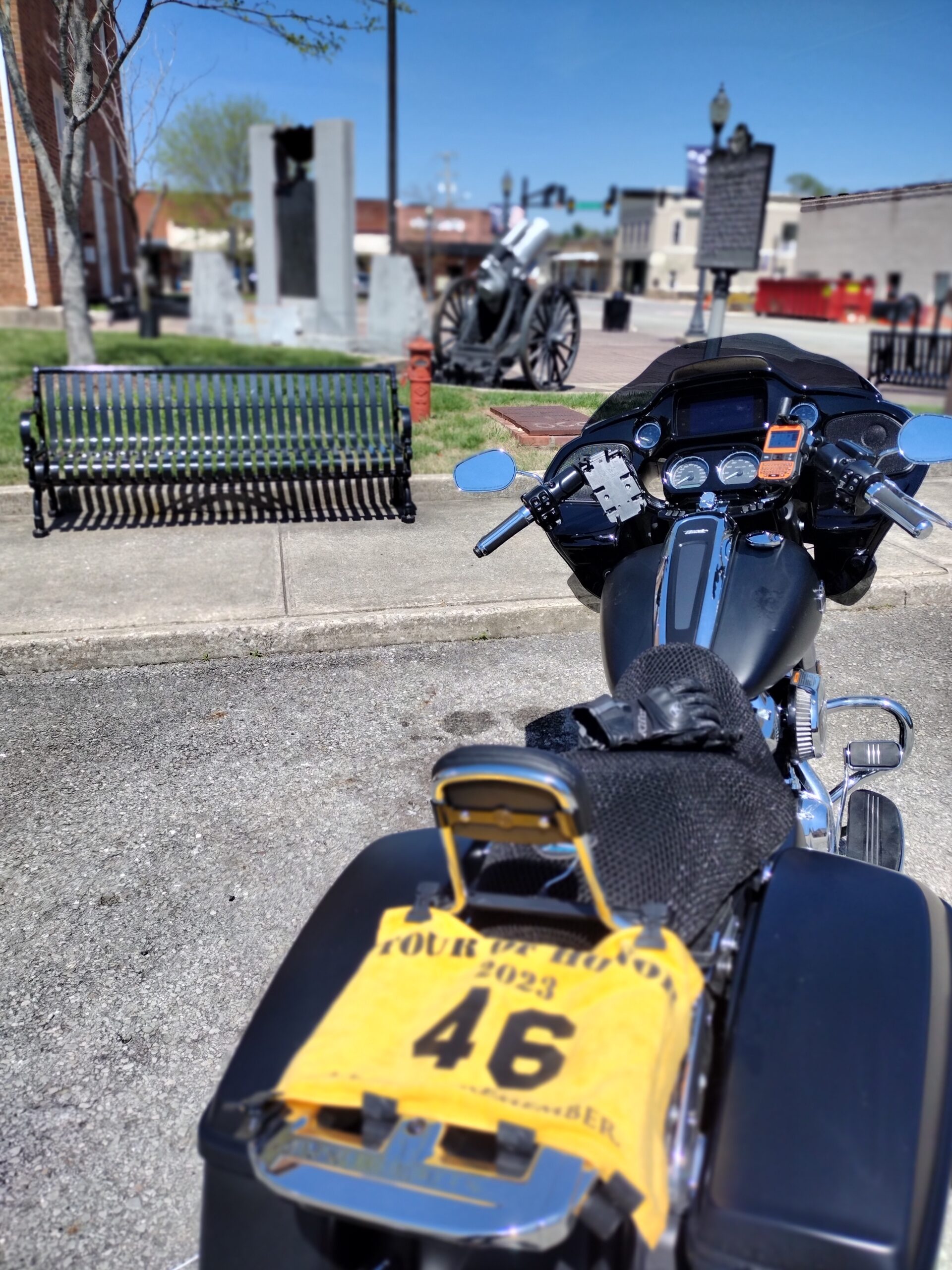
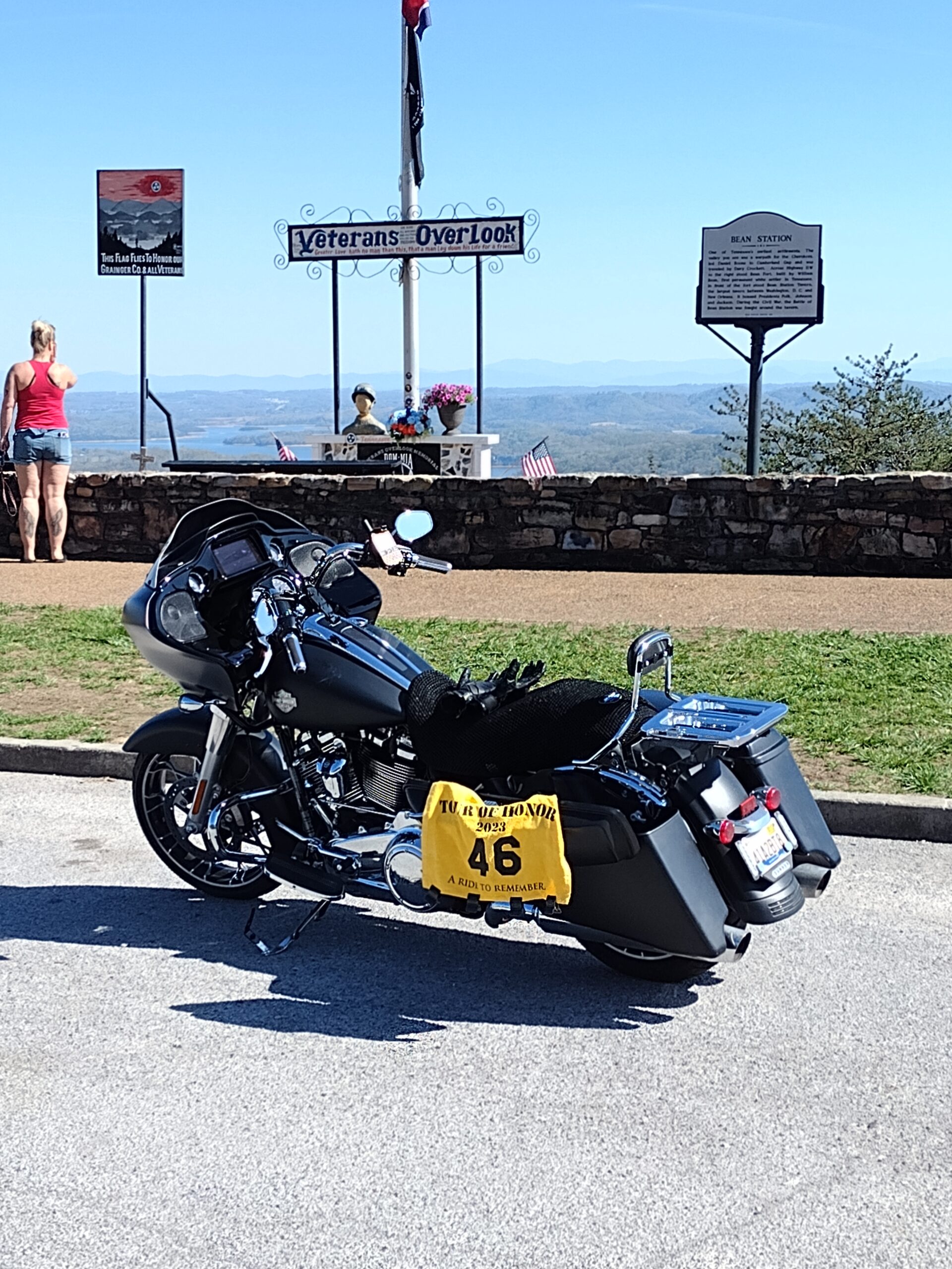
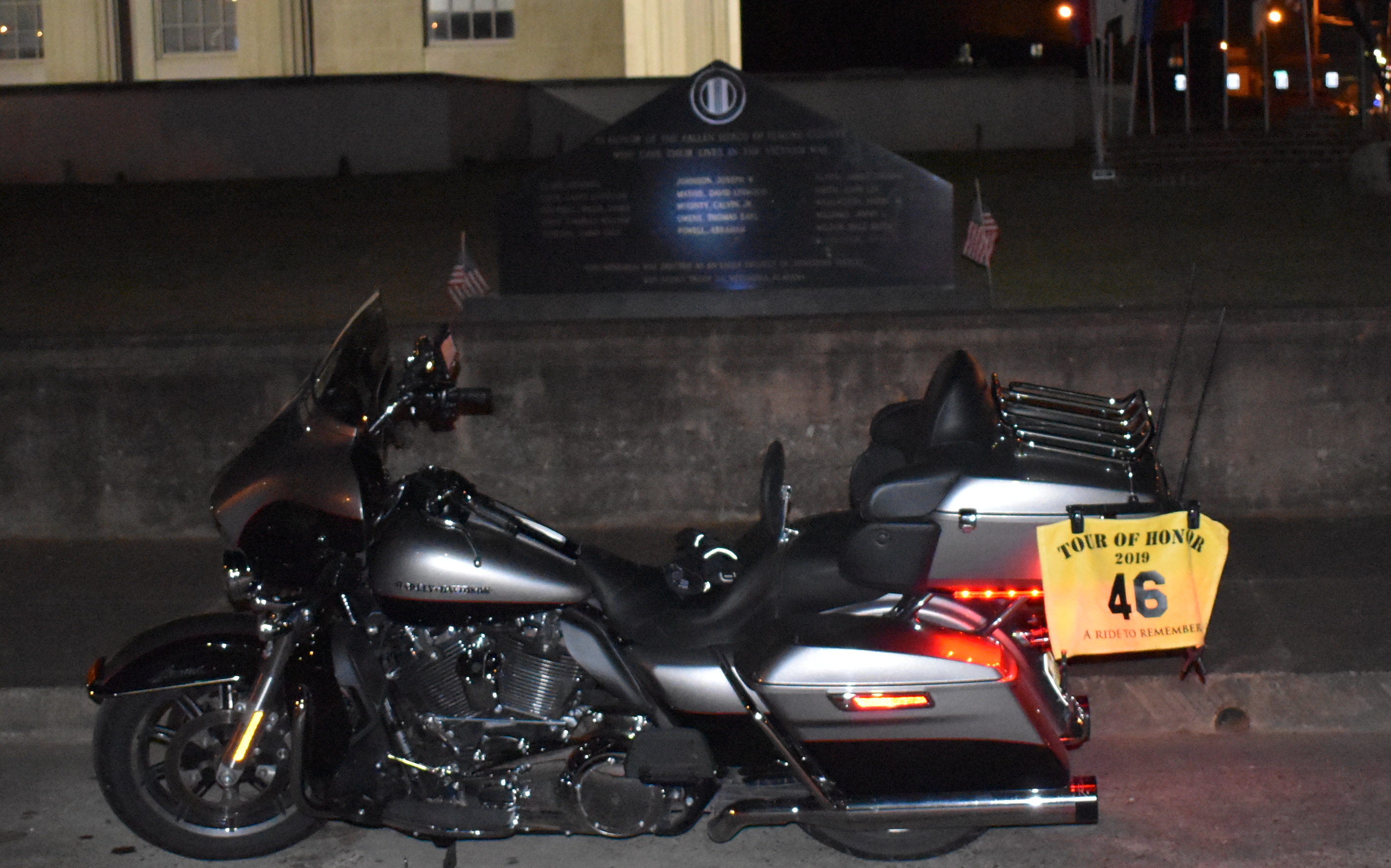
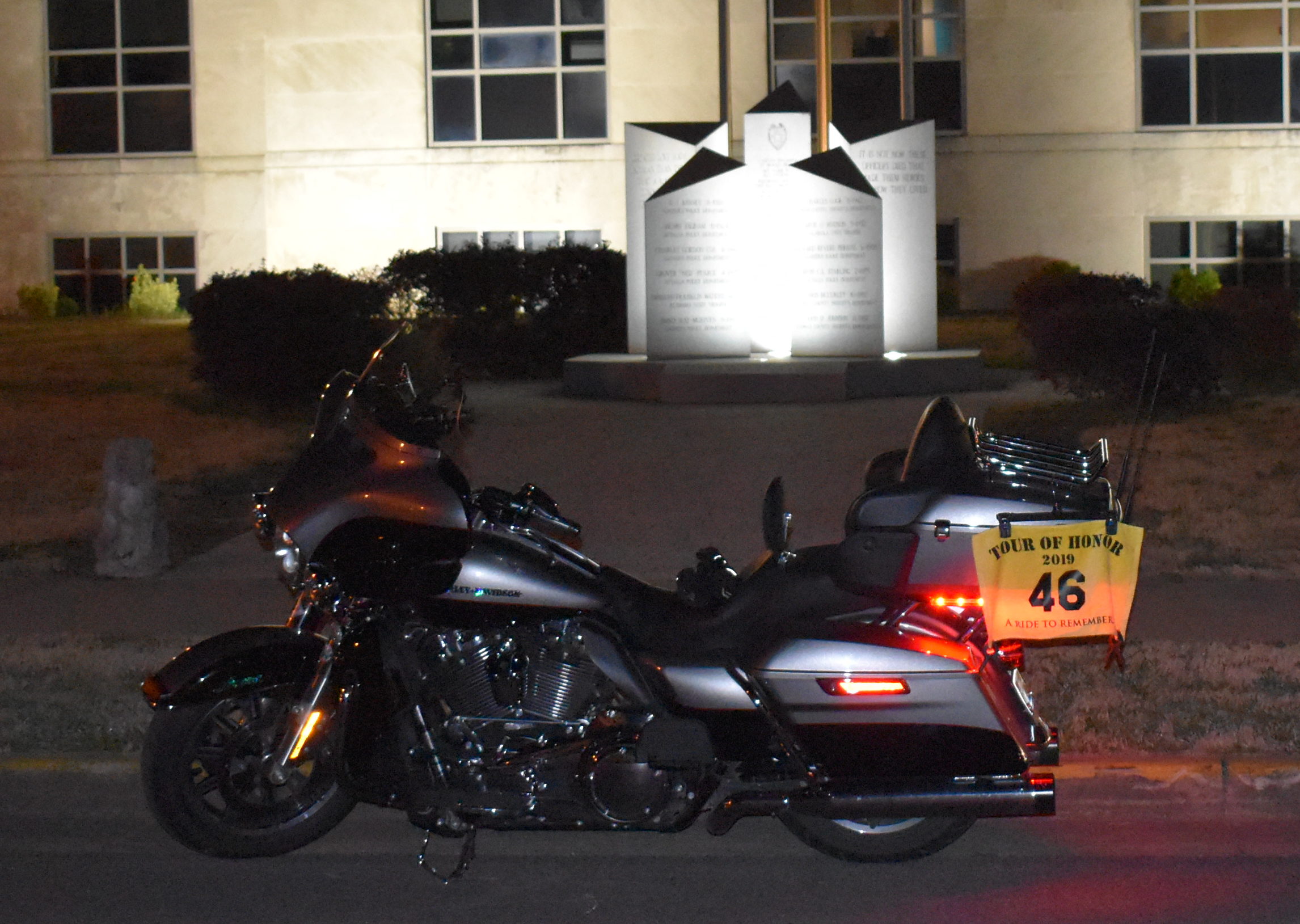
Iron Butt Ride #14

This is my 14th Iron Butt ride since I got the wild hair to start doing this, it is the 10th this year!

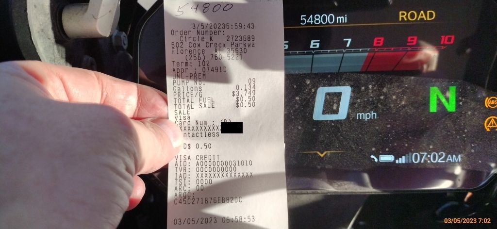
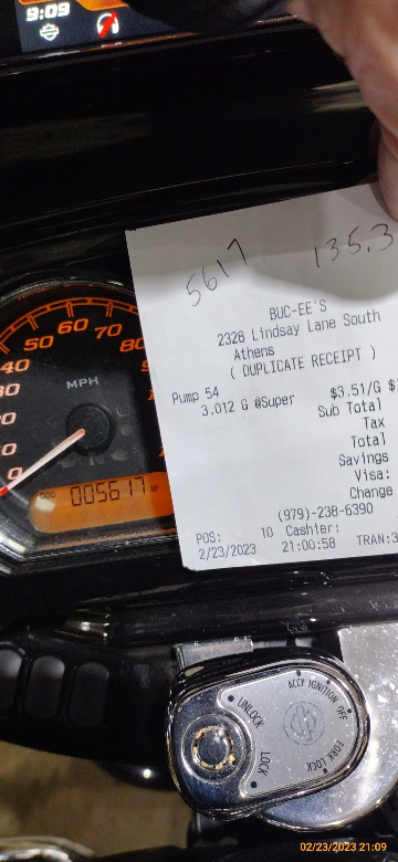
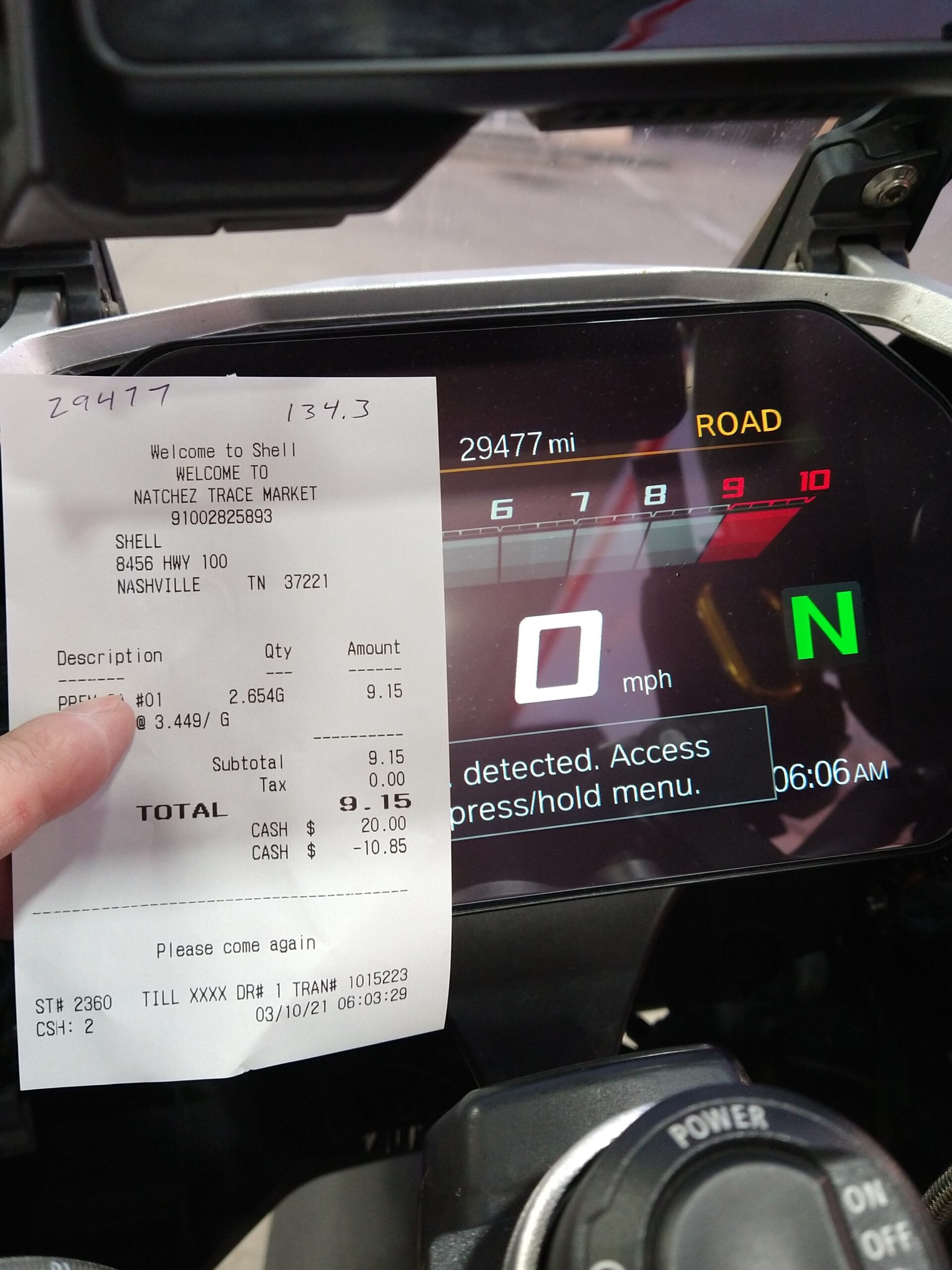
No pictures to include, they are only the DBR (“dated business receipts”) to verify date/time, mileage, and location. I do the tracking with new.spotwalla.com. Once I got that figured out, much fewer glitches than using just the Spot or SpotX. I use the phone (Bubbler app on Android/ SWTracker on iPhone). I have an Android. I think that a previous version wasn’t as reliable, or I wasn’t able to get it set up right. Either way, I like it not, though I like to have the redundancy of the SpotX.

Back to the ride…

Up before 2am on the 14th. My goal is usually to leave as close to 3am as possible. Not sure why I picked that time, but it has seemed to work very well for me. I have a gas station that is open 24/7 about a mile from the house, so it makes a great start/finish location.

I left the house shortly after getting up. I had set everything out before going to bed. Helmet charged, check! GPS has route, check! Route loaded into the bike’s GPS (remember, I like to have redundancy), check! Phone, check! Wallet, check! Printed copy of route with time at various checkpoints, check! MaryJo prayed with me and gave me a good luck kiss, I was ready to roll!

As I left the neighborhood, I realized that I forgot to get the SpotX. I had done this once before and called MaryJo to bring it to the gas station for me. I was only a few blocks from the house, I did a quick u-turn in Florence traffic (2am? Who am I kidding?) and went back home. I wasn’t sure if MaryJo would still be up. I pulled to the end of the driveway and the house was dark. I ran into the garage, grabbed the SpotX, and was on my way.

Getting ready, I turn on the SpotX, check the routes one last time, last check of gear; I am ready to start. I gas up the bike, press “YES” when asked if I want a receipt. Grinding noise, no receipt… I know I have 22 minutes to spare, but really didn’t want to use 5 minutes at the very beginning. I got in and get the receipt. It shows the correct time that I pumped the gas. That little incident cost me 3 minutes… I now have 19 minutes to spare.

I mentally adjust the time at the checkpoints to show I am leaving at 2:42am instead of 3am, an 18 minute adjustment.

My first checkpoint, Athens, AL as I turn onto I-65 to head south, I am ahead of time by 5 minutes. I will credit that to no traffic and catching all the lights green. I check the GPS for ETA back to CircleK; 12:15am. This give me a lot more time as a buffer.

Not much traffic on I-65 south between 4am and 7am on a Saturday morning. A few truckers are now getting up and rolling, but I still have the road mostly to myself.

On some of my Iron Butt rides, I get so anal that I plan out the gas stops. I do this especially when I have someone riding with me. This allows them to know when we will be stopping. I explain when we start that I do NOT plan to stop except at these gas stops. We will discuss lunch as the gas stop around lunch time.

First gas stop is in Prattville. The gas station is easy on and off. Gas receipt at the pump, logged the stop and got the required pictures. Body is doing fine, still waking up and very alert.

My next major checkpoint is at Mobile, AL (actually near Saraland, AL). Planned time is 9:05am. As I pass the checkpoint, my time is: 8:10am. Adjusting for the 18 minute earlier departure, I am 37 minutes ahead of schedule.

A gas stop in Moss Point, MS (outside of Pascagoula, MS). Another easy access for in and out. Still doing great, starting to have more cars and trucks on the road as the world is waking up on a Saturday morning.

I-10 has stretches of construction. Though none active today, the traffic cones, lane shifts, lane narrowings, and equipment on the side cause slowdowns; as well as the reduced speed limit in the construction zones. With slowdowns come traffic bunching up.

I past the Veterans Cemetery at Slidell. I know that there is also a Tour of Honor site nearby that Randy and I scrapped on our trip in August. Those stops would probably take at least 30 minutes of my buffer. I give it little thought, but I would rather try to make the trip here with Randy so we can both complete Louisiana’s Tour of Honor sites together.

My only encounter with Premier Level Jerk today. Doing 45, bumper to bumper traffic; this jerk driving along the shoulder doing a slalom with the construction barrels. He spots a gap of 3/4 his car length and goes for it. I guess he assumed that I would stop to let him in. Well, it was either let him in or my ride would be oven before 500 miles. I blow the horn and he waves back (well, sort of, he didn’t use all his fingers in that wave). Now he wants to switch between tailgating the truck in front of him and doing a brake check on me. He sees a gap in the right lane and goes for it. I am far enough back to know that he is win for a huge surprise. I fill the gap he left. He gets in that lane and realizes that he needs back where he was and starts to swing back in. The problem is that I an now fully even with him. He slows enough that he misses the rear of the bike, but just barely. He is so close that I can see a headlight in each side mirror. As he zooms up and slams on his brakes just before contact. Each time flashing his lights and blowing his horn; as well as getting closer to the rear of my bike each time. A car beside me sees that is happening and slows a little. On the jerk’s next zoom, I swing to the other lane to let him go past. He acknowledges my “act of kindness” by swinging toward me in the other lane. Not fully, but enough to get my attention. I won’t mention any details, but his tag is Louisiana, 480-DBT, on a dark Chevy sedan. I let him got ahead and leave PLENTY of space between us. In a few miles, we are out of the construction zone and he takes advantage for the shoulder to go on.

Jerk gone, traffic moving at close to posted speeds, rolling again!

Next slowdown in in Baton Rouge. I have always had some slowdowns here. Today, I see a warning sign: “Stadium Traffic/Right Lane.” I didn’t know if LSU was playing at home, or even who they were playing (yes, they were hosting Auburn). Minor slowdown.

Next time checkpoint is the turn from I-10 to I-49 at Lafayette. Planned time was 1:00pm, current time is about 11:40am. With the time adjustment for my early departure, I am an hour ahead of schedule. I like knowing that I am making a little progress along the way, even with the slowdown for construction on I-10/I-12. (I have been keeping the cruise only a few mph over the speed limit.)

I stop for gas once I get on I-49. I remember that gas stations on some stretches in southern states came be few and far between, especially when you are in areas that don’t have many human residents. A lot of swamps and farm land. It turned out to have more populated areas than I had expected. But the deserted areas were VERY desolate!

Speed limits picked up, now 75mph. I tried to set the cruise at 77mph. With higher speeds, I also got an increase in winds from the north (serious headwinds). My mpg started dropping. The next few gas stops weren’t at 200+ miles, but closer to 180 miles on the tank!

I had expected the weather to warm up a bit more than it did. I had added the exterior layer to the jacket and got put on a long sleeve t-shirt since it would be in the 50’s when it got dark.

Both the Garmin and the bike’s GPS had me take the loop around Shreveport. I saw signs that there was construction in area. I don’t know all the roads. The Garmin and the bike’s GPS seem to be in sync with the road signs. I follow the route. It may be a few extra miles, but if will be better than the long delays in the constructions zones.

Next time checkpoint was in Texarkana. Planned time was 5:15pm, current time is 4:00pm. With time adjustment for leaving early, I am just under an hour ahead of schedule. Winds have been rough.

Gas stop in Arkadelphia, about 190 miles on 4.6 gallons. Not as good as usual, but still decent. Back on the road! Traffic has been light since Texarkana has been fairly light.

Traffic starting to build as I get closer to Little Rock. I-30 has had construction for a while. Though it is in a much better condition that my trip in February, limited speed zones that are enforced with cameras. Having received a “letter” from a speed camera in DC letting me know that I owe them several hundred dollars, I decide to stay as close as possible to the posted speed limit.

The construction made the trip through Little Rock much easier and less stressful than on previous trips through the area.

Traffic picked up as the sun set once I turned onto I-40. Two lanes in each direction, 75mph for cars, 70mph for trucks. Much like I-81 in Virginia, this poses a problem when there are two trucks, one doing 65mph while to other is trying to pass doing 66mph. Cars that are able to do the 75mph backup in traffic. One nice thing that happened tonight is that the trucks stayed in the right lane to prevent the cars to backup in two lanes which would cause major irritation for the cars at the front of each lane.

A minor jerk cut me off as I was about to get my turn to pass one of the trucks. He must have thought he was special. The tag on his blue Challenger 5.7Hemi was ICULKIN. Once we both passed the truck, he thought that he has something special as he took off. I saw him look into his rear mirror. He must have been expecting a huge gap behind him. I wonder about the surprise when he saw me right behind him. Yes, I was a “little” over the speed limit. I backed off once we got to open roads and set my cruise at 77mph in the 75mph zone.

The winds started to ease up. I could also see clouds starting to form. I had checked the weather and there was no prediction for rain along the route. The clouds looked to be low clouds and I could see the red above the clouds of the reflecting sunset behind me.

I started trying to calculate my next stops. I wanted to take as few stops as possible, but didn’t want to push the distance too far and end up needing gas with no stations nearby. I plan for a stop at West Memphis. I thought that I would be able to get to the other side of Memphis if everything was smooth sailing. But coming through at 8pm, not knowing what events were going on in Memphis at either the Fed Ex Forum, at Liberty Bowl Stadium, or even just on Beale Street, I didn’t want to risk low fuel in Memphis.

West Memphis was a challenge to get my gas receipt. The pump didn’t print a receipt, so I had to go inside. Well, the person paying was having a problem, so she sent her friend to get her wallet from the car. Could she move over? Nope, she stood there and talked, mostly complaining. The lady at the register tried to ask her to move over since there was now a line of people wanting to check out. The person paying said it would only be another minute or two. It took about 10 minutes before I could get my receipt. If I hadn’t needed it so urgently, I would have left it.

Back on the road. The ETA to the checkpoint south of Nashville had gone from about 11:00 to 11:30. Planned ETA was 12:30, so I wasn’t concerned.

The ride through Memphis brought back memories. Some good, some bad. There has been construction to widen areas on I-40’s north loop around Memphis. Great, but I think the construction was only to add lanes, not repair or maintain the existing lanes. The lanes that have been there all along had chunks missing or those holes filled with gravel. I had my cruise cut off a few times from hitting large holes!

Finally on the east side of Memphis. The eastbound lanes go from 8 lanes to 7, 6, then 4, and suddenly there are two left by the time I go to the Arlington exit. Merging of all the trucks led to the time needed to sort our who was going to drive at the speed limit, as well as those 5-10 below and those 5-10 above. Eventually, things were worked out.

I kept a watch on the miles left to get home, as well as the miles on this trip. I thought about stopping near Jackson for a final gas up, but I hadn’t used 1/4 of a tank. I knew there were plenty of places where I could stop. I didn’t want to have an empty tank when I got home. I kept rolling.

About the time I crossed the Tennessee River, the weather was misting. Not enough to require rain gear, just enough to keep the visor spotted with water. The temperatures started to drop more. I didn’t want to check the actual temperature; I was afraid it would depress me.

Under 200 miles to go, fatigue is starting to set in. The cold isn’t helping. Oddly, the light rain is requiring me to stay very focused and alert. I slow down below the speed limit and plot my stop. I know that Dickson is just before I-840. There are several truck stops there. I see a sign for a Love’s at Dickson. Exit 163. As I get near the exit, the area is dark and unfamiliar. It says Dickson, and the road sounds familiar, I expect that I will recognize the area once I am off the interstate.

I make my way up the exist ramp. Still dark, except for the Love’s on the other side of the interstate. It is cold, I want to clean my visor and put on my rain gloves. I see that there is a 24hour McDonald’s; maybe a cup of hot chocolate will warm the soul. I make the turn toward the Love’s. The entrance isn’t well marked, nor well lit. I almost run off the road trying to find the entrance. Of course, the wet visor is making it hard to see clearly. I can’t pause to wipe the visor as I am working my way on turns as slow speed.

I get into the station and pull to a pump. I get gassed up, get my receipt and my required picture. I move forward to a parking spot in from of the McDonald’s. I go in, order a large hot chocolate and an apple pie.

I warm my hands with the cup, cuddling it like a prized possession. I take part in one of my old favorite hobbies, people watching. 10:30 at night at a gas station eatery does not bring out the highest on the social ladder. Travelers often tend to be rude since they will never have to see these people again. What a shame. As I was placing my order a teenager came and stepped in front of me saying he was in a hurry. The clerk told him to wait his turn. Soon this kid’s friends filled the seating area. Loud, rude, and demanding. One made a comment toward me. I just gave him a look that he understood, I wasn’t in the mood to be messed with. They all left me alone.

As I left, I saw another biker sitting on the phone. I waved at him and we smiled. What sort of idiots would be out on motorcycles at 10:30 on a Saturday night in the rain? Well, there were two of us there.

Mostly refreshed. I put on the rain gloves and was ready to go. Back on the unfamiliar road to the interstate, sharp/blind turn onto the ramp, and I was back on I-40. I have spent about 30 minutes at this stop. Much needed, I had some time to spare and this was quality stop time. Filled in tank on the bike, emptied my tank, warmed a bit, and got something in my belly! I realize that I have been so focused, I have only had about half a bottle of Gatorade and nothing to eat all day. I had planned to bring a granola bar or at least pick something up at one of my stops. Never did it. My entire diet for today has been a McDonald’s Apple Pie (much smaller than I remembered).

Nine miles up the road, I see another exit for Dickson. THIS is the exit I remembered! Well-lit and easier on/off ramps. No need to stop, I kept on in the rain. The rain is keeping me alert since I can’t let my attention wander at all.

I have noticed that my right wrist is hurting. The binding on the glove it cutting off the circulation on my right hand and causing some minor pain. I can’t stop since there isn’t much of a shoulder, and there is no lights on the road. Of course, the light rain isn’t a problem for the cars and trucks who blow past me. I am not going slow enough that I need to turn on my flashers, but I don’t think there are many people going slower than me.

I get to the ramp from I-40 to I-840. I am usually coming from the east and get on I-840 on the other side of Nashville. I-840 isn’t well lit on the ramps on the other side, neither is this side lit. The signs relied on the reflection of headlight to be visible. This doesn’t doo much good when you don’t see them until you get right up to them. I have to trust the lane advice on the bike’s and the Garmin.

No other cars at this point. That is good news/bad news. Good news is that I don’t have to deal with other cars. Bad news is that I don’t have other cars that can give me an idea about the road ahead. I finally get situated on I-840. 35 miles to my next time checkpoint.

I get to the time checkpoint at 11:47pm, planned time was 12:30pm. Adjusting the time, I am 43 minutes ahead of schedule. Not a major concern, but I am cutting into the slack that was built into the trip.

I-840 is dark with few vehicles in either direction. Though the Garmin and the bike’s GPS give me an indication of curves on the road ahead, I am having problem with distance perspective. Also, I have no idea about road elevations. Still raining, no stars or other night light that can give me a shadow of the area around me. This is one of the roughest rides I have had. I am cautious doing the speed limit, much less going above the speed limit.

When I had placed the time checkpoint using the route planner, I must not have put it exactly on the road I wanted to travel. Both the bike’s GPS and the Garmin wanted me take other exits than the Huntsville/I-65 South Exit. The bike wanted me to stay on I-840, go to the next exit, turn around, then head south toward Huntsville. The Garmin wanted me to take the Nashville exit, go to the next exit, turn around, then head south toward Huntsville. I saw the sign for the Huntsville exit at the last second. The BMW class may have been a lifesaver! Especially on wet roads, DON’T cramp on the brakes! And especially at a sharp turn. I eased up and took advantage of the left shoulder of the turn.

This particular interchange can be challenging in the daylight when it is dry. In the dark and on rain wet roads, this really forced me to stay calm, trust my training, and (more especially) trust the bike! I made the turn and was now on I-65.

This area is familiar, though usually driven/ridden in the daylight. I have been here in the rain, but never rain at night. Once outside the I-840 beltway, there isn’t much indication that this is an outskirt of Nashville. The roads are dark, and have been under construction for a few years. They are nearing the completion of the construction, but there are still signs in areas. I was able to stay near the speed limit, thought it was easy to tell that I was one of the few. The rain was still working to keep me focused.

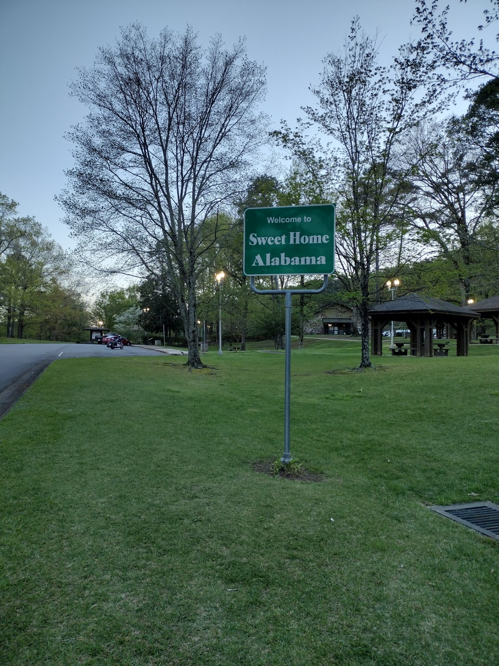
I crossed into Alabama, knowing that I was close to a place to take a quick break. The rain was letting up and had become a mist in some areas; dry in others.

The exit for Athens is a yield sign for those turning right. No traffic coming, so I eased onto US72. A new Whataburger is located a block from the exit. It being open 24 hours a day, the parking lot is well lit! I pull in, revert back to my other gloves instead of the rain gloves. In addition to having in on too tight on the right hand, the fingers of the glove fit the circumference of fingers, but were about 1/2 inch too long. Also, the “wiper” part on the left index finger is on the top of the finger (my other gloves have this on the side of the index) and is much shorter. This resulting in it being difficult to wipe my visor for the last hour or so!

Taking a mental break and a prayer, I was on my way home. I was still a few miles short of the 1500 miles. I had thought that if I was close to the 24 hour mark, I would just stop at a store or ATM and get a receipt “just in case.” It was close to 1am. I had an hour and a half to make the last 40 miles. I was relaxed and knew I could do it since most of the road was 60-65mph, the rain had stopped, and I knew this road fairly well.

As I got back on the road, I said a quick prayer to thank God for the rain that kept me focused and safe, for the the rain being gone now. At that point, I hit about a quarter mile of a full rain! I laughed at the situation. I thanked God for His sense of humor. What else could I do?

I pulled into Circle K and immediately went inside. I got me a candy bar. My last receipt doesn’t have to be a gas receipt, just a DBR (dated business receipt). I want to do some work on the bike in the near future which will require removing the tank. That we extra gallons add a lot of weight to lifting the tank.

My ending DBR shows 1:45. My start time was 2:42. My time to complete this was 23 hours and 3 minutes, I made this ride with 57 minutes to spare! My planned time checkpoint was 2:38am. I even beat that time!

I relaxed a few minutes, then made to mile trip home. MaryJo opened the garage door as she heard me round the corner. I just turned off the bike and unplugged the Garmin. I usually take a shower right after my rides before going to bed. I was too tired. I washed my face, brushed me teeth, took my nighttime meds, and hit the bed. My watch said I hit the bed at 2:20am and it was almost 10:30 when I got up.

Was this a tough ride? Heck YEAH! Better planning might have helped a little, but I am not sure how much. Would I do this route again? Sure, but I would probably do it either in late spring or maybe in September. Just a little bit warmer, but not as hot as the summer months (also, summer months will have a lot of tourists along about half of the route.

1,500 miles in under 24 hours qualifies me for the Bun Burner Gold (BBG)! Will I attempt another BBG? Probably. Okay, who am I kidding, OF COURSE! I already have a route that I have been thinking about for a few years. From my Circle K to Williams, AZ is just over 1,500 miles; Google says I can do this is in under 20 hours. If I leave here in time to miss the end of Memphis rush hour on a Friday, I could get to Williams, AZ in time for a relaxing supper watching the sun set. An Arizona sunset is one of the the most beautiful things I have seen.

The link to my Spotwalla track of this ride is: here!

Monster 100 – Iron Butt #8

My 8th Iron Butt ride and my 4th of the year.

Before I can explain the Monster 100, I will need to explain the Mile Monsters. Before I can explain the Mile Monsters, I have to explain how I learned about the Mile Monsters.

When COVID was going strong and cancelling events, the Tour of Honor Ride to Meet was cancelled. That was to be in Gettysburg in September of 2020. The organizers commented that it people wanted to meet in smaller groups, we could set up regional Ride to Meet gatherings. Jeff and I already had planned to go; he had the time already planned to be off from work. We talked and decided to set up a meeting in Cherokee, NC. This would give people on the East Coast a chance to meet.

I contacted some riders in the Cherokee area to get recommendations. Robert Saunooke was one of the Tour of Honor riders who lived in the area and helped us find a place to meet up.

After working to get a mini-meetup planned, Blaine from Nashville and Robert were the only people who met up with Jeff and me. The four of us had a great few days of riding the area. Robert led us on a ride through some of his favorite areas. We spent a few hours with Robert and his wife, Amy, after our ride. It was like we were all old friends that had never lost contact. We laughed, joked, and were finishing each other’s sentences.

I have stayed in contact with both Blaine and Robert since then. So, when Tim and I were in Maggie Valley with our wives last October, I contacted Robert to see if he and Amy would like to join us for supper. He jumped at the chance.

Much like my previous visit with Robert and Amy, the six of us talked for hours. During the conversation, we talked about Robert’s shirt “Do Epic Shit!” He told us about Mile Monsters. He also told us about the Hoka Hey Challenge (I had known about it for a few years, but was starting to give it some serious consideration this time).

So, the Mile Monsters is a charity that raises money to support families who have a son with Duchenne Muscular Dystrophy. We started doing things to help support the charity. Then they announced a major fund raiser, the Monster 100. The idea is that over 100 days, a rider each day (total of 100 riders) would ride 1,000 miles and raise $1,000. The $100,000 would be used to purchase an accessibility van for Drew. The idea was so exciting that within days, the 100 days were filled. So, Riot decided to have two riders each day. The extra funds raised would be used to bring the boys that we sponsor to Sturgis with their parents.

I signed up in the first 100 riders and picked May 17 as my day. I was rider #114 and was on Team Respect. Tim had been talking about doing his first Iron Butt. So, this was the perfect chance. He also helped me raising money. With two of us raising money, our goal was $2,000; as of today (middle of July) was are just short of that goal at $1920.

Tim came over the day before we were to take off on the ride. He spent the night with us so he and I could leave early on the 17th. We spent some time going over the process, logging our stops, and tracking the ride. Tim was ready. I was going to mentor him to help him earn his first Iron Butt Ride.

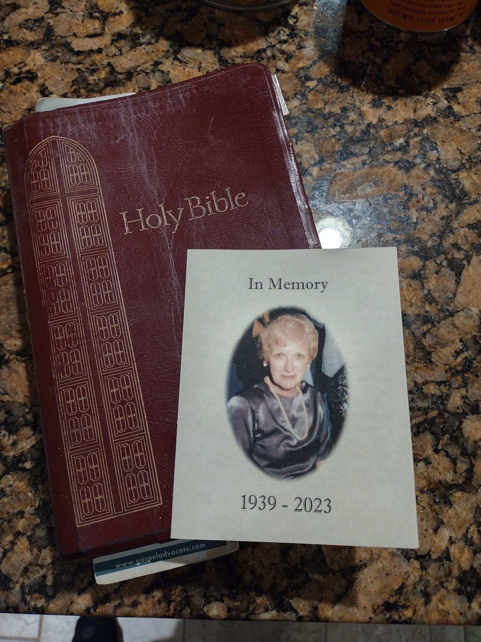
Since this ride was in May, the theme for the Mile Monsters was to honor Moms. I kept my emotions in check while riding with Tim; but when I was alone on the bike, my mind wandered back to thoughts of my Mom. She passed away shortly after my Tour of Honor Extreme of Tennessee. My way of honoring Mom was to carry her picture and her Bible with me on the ride.

Mom and her Bible

We left early. At the Circle K, we went over the process for our gas stops. I checked everything on my bike for the tracking, then we gassed up.

It was dark until we got to Nashville. Once there, we had a few bits of excitement with trucks not having rear lights and people being surprised when they got to the truck.

I was on the Road Glide, Tim was on his Pan America. My tank holds one more gallon than Tim’s; and I get better gas mileage that him also. First stop was outside Bowling Green, KY. We got gassed up and everything recorded. We spent about another hour on the interstate, then the Bluegrass Parkway over to Lexington. We then spent a few hours on I-64 across Kentucky and into West Virginia.

Next gas stop was also lunch time. We had lunch at Fat Patty’s. The burger was very good. Though it is a small/local chain, I would definitely stop at either here or another of the Fat Patty’s that I may come across. We gassed up the bikes and were ready to roll again.

At lunch, I checked the route. If we were to stay on I-64/I-77 through West Virginia, it is a toll road. I decided that we could take the two/four-lane roads that went along part of the Appalachian Mountains and through areas that I used to love to ride through. Many of the roads brought back great memories.

Eventually, we were back to interstate. We gassed up in Weber City, VA and joined I-81. We travelled along I-81 to I-40, then sought on I-75 to Chattanooga. We gassed up just north of Chattanooga, this tank would get us home.

After Chattanooga, we turned onto US72. We were now on the home stretch. Tim and I have both ridden US72 along the stretch so much, we could have taken a nap and known the road from memory.

We rode 1089 miles in just over 20hours. This isn’t too bad. We didn’t rush, had a nice long lunch, and spent some time on mountain backroads. A little traffic once or twice, but not enough that it would have effected our time.

Next morning, we went through the processed to submit. I gave Tim the link and address to submit his application. He didn’t realize that he could use the Premier link and submitted through the regular link. Since I was mentoring him, he could use the Premier link. Once we got that resolved, we both had our certificates within a few days.

2023 – ToH Extreme – Georgia / Iron Butt Ride #13

Ready for my 13th Iron Butt Ride, the 9th of the year!

I was up at 2am, showered, Bible reading, prayer, and got ready to ride. Today’s ride was my ninth Iron Butt ride of the year, yes, I said this YEAR! My original plan was to be a Bunn Burner Gold. Forecast of storms changed my plan at the last minute. With the last-minute change, I didn’t get to research the options as well as I usually do. The first part of the ride wasn’t a problem, but the last site was my downfall.

It wasn’t the site that was my downfall, it was the route to get to the site. I trusted the GPSs, using the time to the site as my priority. This wasn’t always the best option. Two GPSs arguing over the route, I had at least one going “Recalculating.”

I checked the weather, well, sort of. I checked the radar to see if there would be rain. No rain, I was good. I forgot to check the temperatures. I left home at 3am and it was about 70 degrees. Before I got across the state, it was in the 50s. I was only wearing a t-shirt under my jacket that was designed to keep me cool. I finally found a Walmart that was open (I thought some were open 24 hours, at least none where I stopped) and picked up a long sleeve t-shirt. That helped.

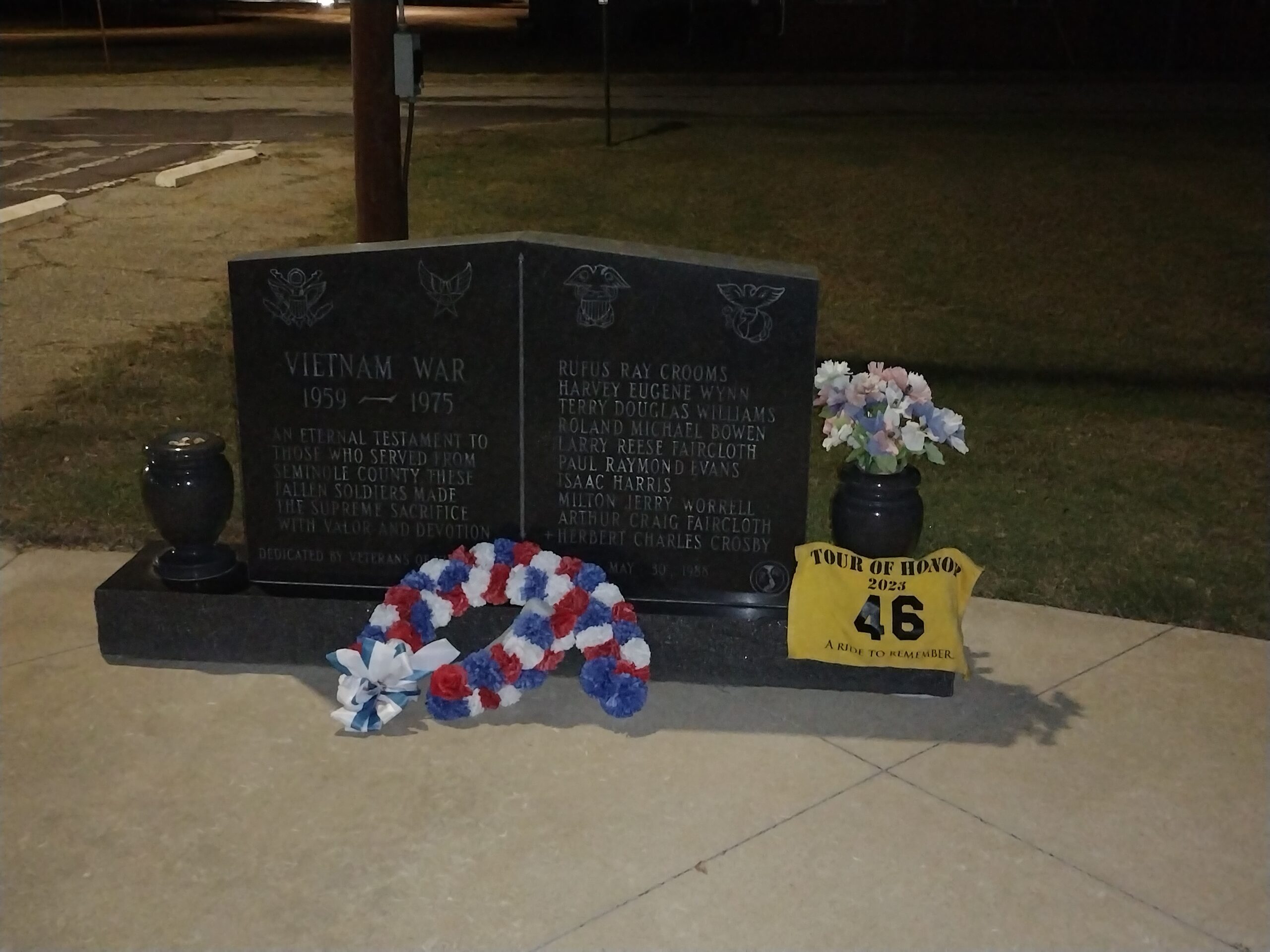
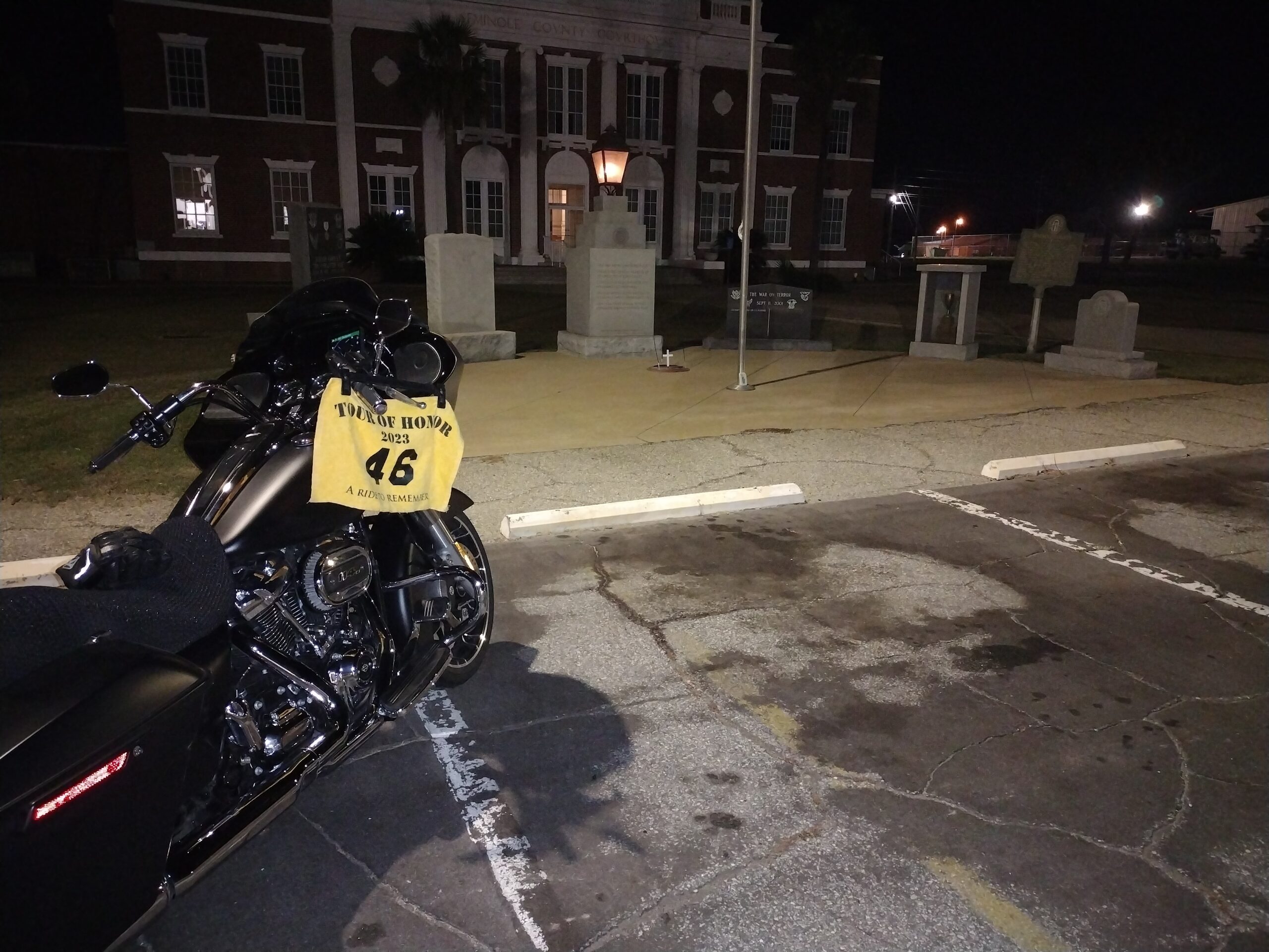
The first site actually had a bonus added. Summerville, GA had the state memorial, but also a Doughboy had been moved from a nearby Veterans Home which had been vacant for a few years. Only other person at the park was a lady walking laps. She passed as I parked, her next lap was as I was getting ready to leave.

The next site was at the Cedartown Library. I pulled into the parking lot. Only other person was a guy walking around the parking lot and grounds while on the phone. My paranoia kicked in and I watched him for a few minutes to make sure everything was okay. I wasn’t able to get the bike and the memorial in the same picture, so I had to get a second picture. That picture done, ready to roll!

Cedartown ToH Site GA1

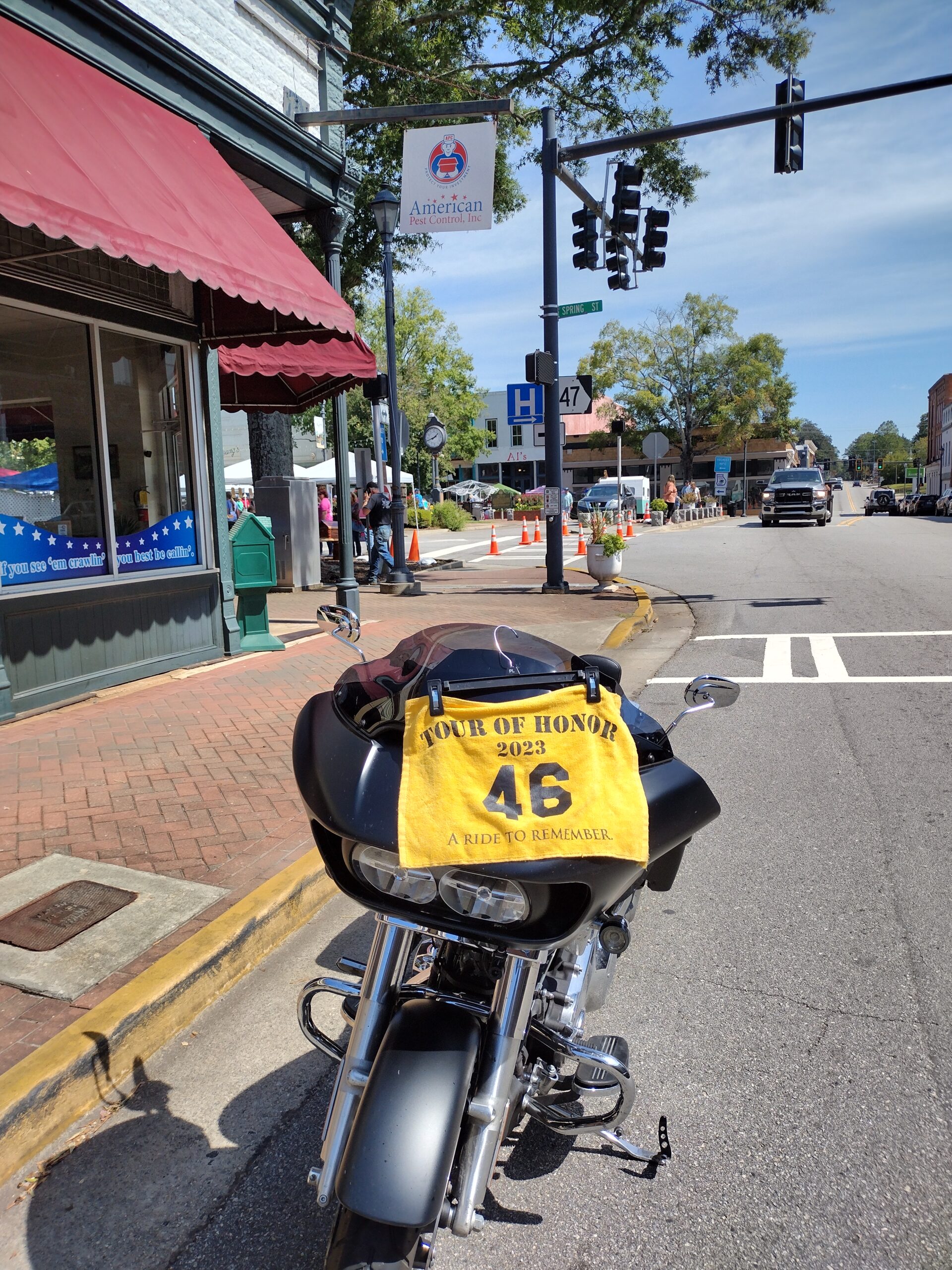
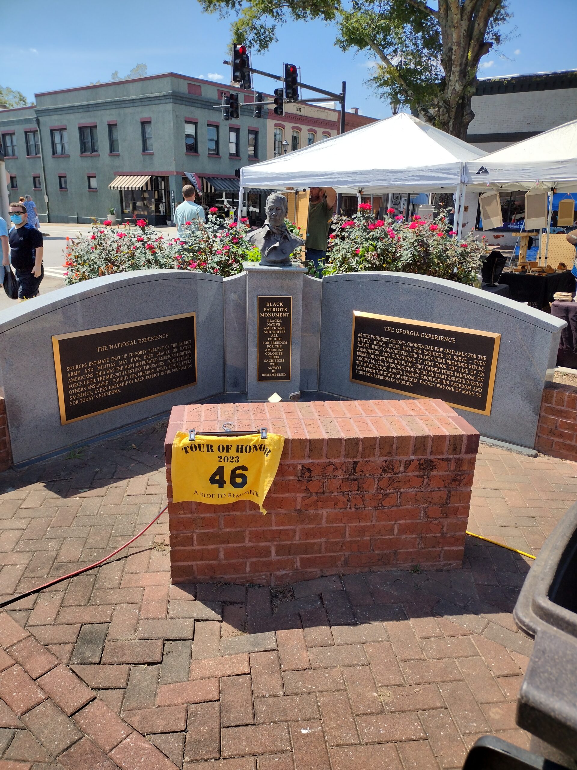
The first two sites were fairly easy to get the pictures I needed, though I needed to get a second picture at each site. It was early enough that there were not any people to worry about. By the time I got to the third site, people were moving around. Streets were blocked at two of the next three sites. The other was easy to get the picture, but I was in a No Parking Zone to get the picture. I got the picture and left before anyone had a chance to call the police. The other two of those three sites had activity at the memorial sites. I couldn’t park near either memorial, so I got the picture at the memorial then a picture of the bike.

Between the second and third site, I had to get on the bypass around Atlanta. Another item I should have researched, construction. I spent over an hour walking the bike on the interstate. All day I would run into construction on the road which would slow me down.

The third site was Cornelia, GA. There was a fall festival going on in the downtown square. Luckily, the memorial I was looking to find was not in the town square, but a few blocks away. I still had to work my way around a few detours and road blocks. As I pulled into the parking lot of the memorial, I realized I was going to have to be very alert as to where I parked. The parking lot was very uneven, and there was an event at the center that was going to make finding a parking spot a challenge. There was a truck at a perfect spot where I could have gotten a picture of the bike with the memorial clearly in the background. But, I couldn’t get a good angle. I eventually found a workable parking spot, though I would need two pictures for this site.

Cornelia ToH Site GA2

The fourth location was fairly easy to find; but parking looked like it might be a challenge. As I sat waiting for the light to change to green, I decided to see if I could pull to the left shoulder since the road was one-way. I moved over and parked. Quickly jumping off the bike to work the rally flag and dodge traffic to stand back far enough to get the picture of the bike with the memorial in the background. Perfect? Nope, but good enough to meet the requirements.

Hartwell ToH Site GA4

It wasn’t too far for the next site, and Jeff and I have ridden to Washington in the past. We came while he was scouting sites for Georgia when he was the State Sponsor, then again the following year to visit all the sites in Georgia. I pulled into Washington and found roads blocked near the site. I managed to park at the same corner where the memorial was located, but not close enough to get a picture of the bike and the memorial together. There was another fall festival in progress. There was even a tent set up next to the site, but I managed to get a clear picture of the memorial. A second picture from the corner in a No Parking zone with a note to the scorers. I was gone before anyone complained.

Five sites down, Savannah and Donaldsonville were left.

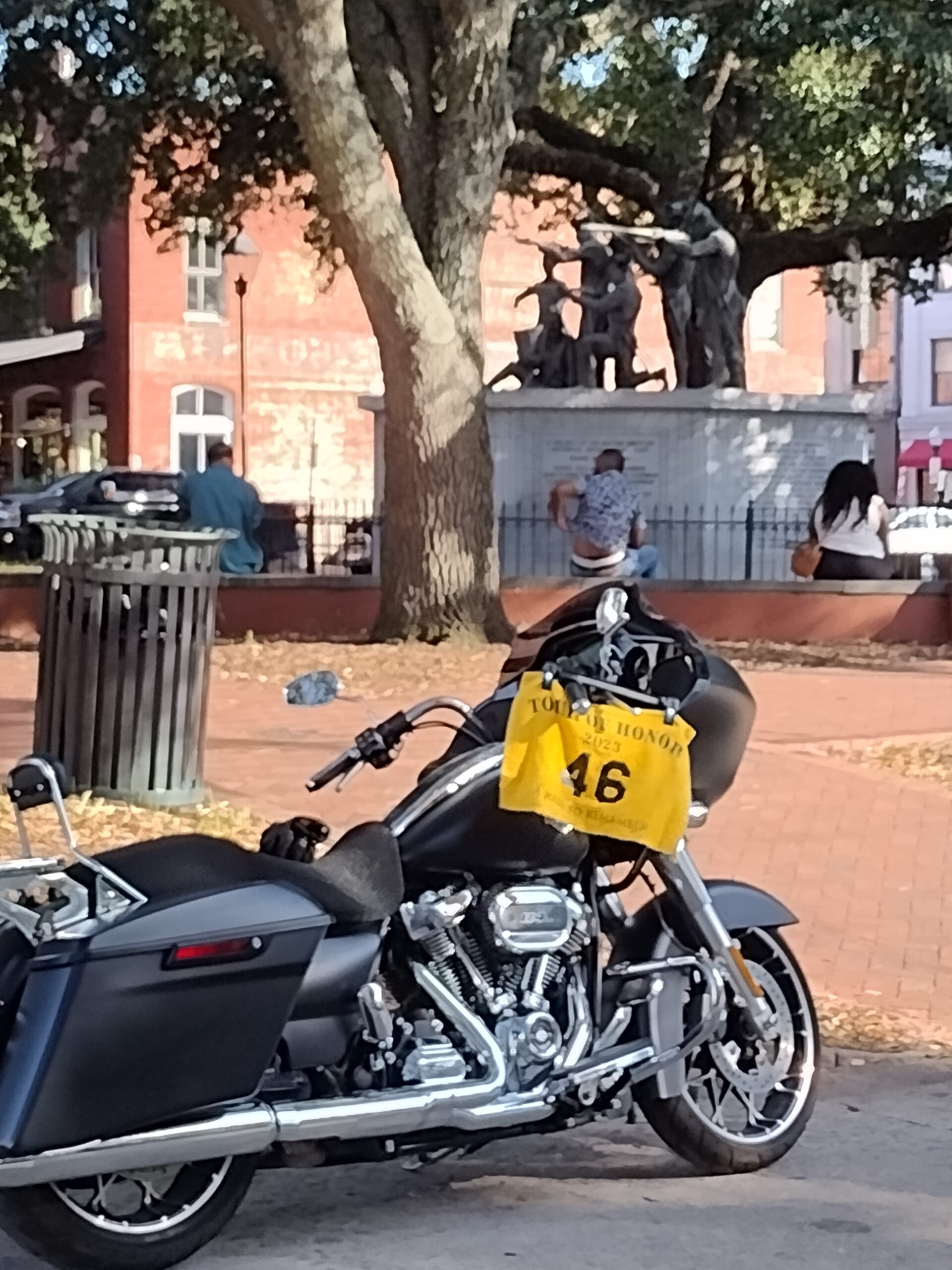
Almost four hours from Washington to Savannah. About an hour and a half of interstate, then Savannah traffic. Savannah was as easy as could be expected to get to a memorial in the middle of a tourist and college area. No parking, lots of people walking and enjoying the park. Dodging construction, road blocks, and pedestrians who felt that the cross walk signs did not apply to them; they were too preoccupied with the cell phones. I managed to get close enough for a picture of the bike with the memorial in the background. I would have loved to have looked at the memorial, but I needed to move. I didn’t even submit that picture until later.

Savannah ToH Site GA5

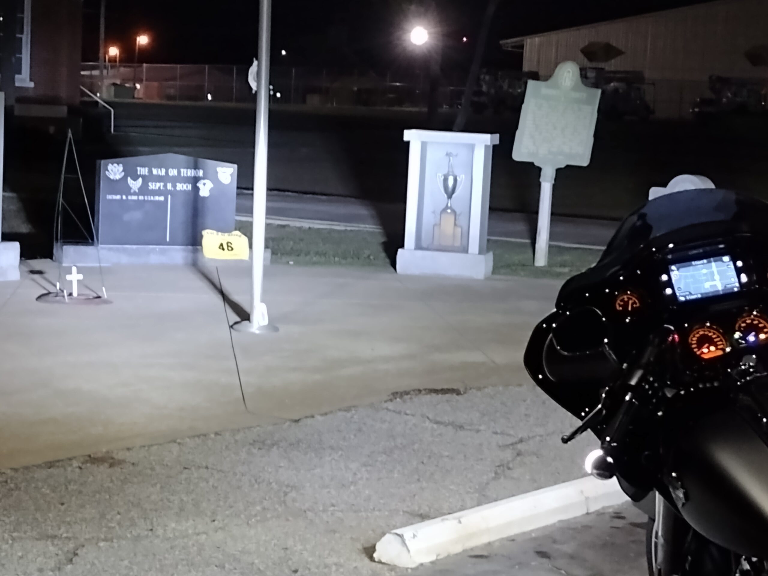
At the opposite side of the state is the last site, Donaldsonville. The trip was about 5 hours. I followed the GPS and some pleasant two-lane roads. It turned dark and I have no idea how the area looked on the way to Donaldsonville. Donaldsonville was the easiest to find and access. Parking was next to the group of memorials. I had to check them all to make sure I got my pictures of the correct one. There was both a 9-11 memorial, as well as the Tour of Honor memorial. It was dark, so I used the flash on the phone.

Seven sites visited in Georgia, but I am only at about 900 miles. I see that Dothan is 40 miles away, that will still leave me short. If I were to head home, a little over 300 miles, I would be about an hour over the 24-hour limit.

I started thinking about getting to the 1,000-mile mark and stopping for the night. I needed gas more than I needed a place to stay. If I didn’t get gas, I wasn’t going to have to worry about anything since I would have to stop.

Being about midnight, some gas stations were closed. While on my way, I hit another traffic delay. GPS said 30-minute delay. I kept on the current road since the detour on the GPS was dirt roads. I may have taken them during the day, but not at night. There was a serious accident which closed all lanes in both directions. By the time I arrived at the scene, the traffic in my direction was allowed to move. Traffic in the other direction was backed up for several miles. As I reached the end of that backup, I found an open gas station. I was over 1,000 miles! I gassed up and checked the map. I was only a few miles from the outskirts of Montgomery. I tried to make a reservation online. Since it was past midnight, the systems thought that I wanted to check in at 3pm this afternoon. I called one of the hotels directly and they had a room. I was on my way. A quick call to MaryJo to let her know I was stopping for the night.

No discount for last minute check-ins. I needed a room, so I wasn’t going to make an issue. I got a shower and made my notes. I didn’t have the laptop, so I had to just make notes. About 1050 miles in just over 21 hours.

Relaxing breakfast the next morning and I was on my way home. I avoided interstates on this final leg. I could have caught I-65 and been home in about 3 or 4 hours. I chose US231, am old familiar friend. I did vary from my usual trip, I made a left onto some county roads in Blountsville which led me to US278. Just outside Cullman, I made the right turn onto AL157. I knew I was close to home.

I pulled into the driveway just after 2pm. Tired, but not as tired as last night when I stopped. Glad to be home.

I checked the email and saw that the Tour of Honor had already sent me an email approving my ToH Extreme. Now I just need to get it submitted to the Iron Butt Association. I should have the certificate in a few days.

Iron Butt Ride #12

I got up about 2am and was on the road shortly before 3am attempting my 12th Iron Butt Ride (my 8th of the year). I’ll cut to the chase and spill the beans; in just under 17 hours, I rode 1007 miles! Ride completed. I still need to submit the paperwork and pay my fee, but that will be done later tonight or in the morning.

I rode the BMW today for the Iron Butt ride. I don’t have a stereo or the phone set to play through the headset; so, I think and pray. Sometimes more thinking, other times more praying. Today I got to thinking about what am I doing in retirement. Others who are retired have hobbies that keep them busy, I do too. Other friends are going back to school, I am taking courses that interest me. Others travel, I spend a lot of time on motorcycles. I look at others my age, and even a little younger, who look rather worn for the years. I like to think that I am in pretty good shape and look decent, at least I haven’t scared any kids in the neighborhood.

So, what do I do in retirement?

I try to start my day with Bible reading and prayer. I have taken the challenge to read the entire Bible in a year in a couple of different methods; reading from Genesis to Revelation, reading in supposed chronological order, or reading in a none linear manner. This last year, I have focused on reading one chapter a day. But I do more than just read it. I read it, then read about it, reading the notes and any commentary included. I then try to understand it better than just memorizing the words.

I enjoy doing things that make my wife happy. This is partially a selfish thing; when she is happy, I catch less grief. But I also like to see her happy. She has so many things that she does for me and others, I like to do things for her.

I have hobbies. I do enjoy reading, both fiction and non-fiction. I like to read travel and motorcycle magazines; they give me tips on what to do and where to go. Other than magazines, I haven’t been doing a lot of reading lately. I enjoy amateur radio. I am not as devoted as many people I know; but I enjoy training and leading the testing to help people get their licenses.

But, my passion? Riding motorcycles. I just checked. In May, I rode over 5,000 miles on motorcycles that month. So far this month, I have ridden over 4,000 miles; and I still have a few more days. This year, I have put over 19,000 miles on motorcycles. Only about 1,000 on the Spyder; 5,600 on the BMW; and over 12,700 on the Harley. I have a trip planned with Randy to go to New Mexico, that may be 4,000 or 5,000 miles alone. I do want to do another Iron Butt (I am trying to do one each month). I need one more Gold or Extended ride so I can earn Gold Mile Eater (20 rides, includes at least 5 Gold, Extended, or Extreme rides). I have 4 of the Extreme. I could get one for Arkansas or Georgia this year if I get focused.

Tired from the ride. I didn’t even put the bike away properly; it is just in the middle of the garage. I will park it in the morning. Of course, I may take it for a ride tomorrow to keep the day streak going.

Iron Butt Saddle Sore #6 (Alfie’s Ride)

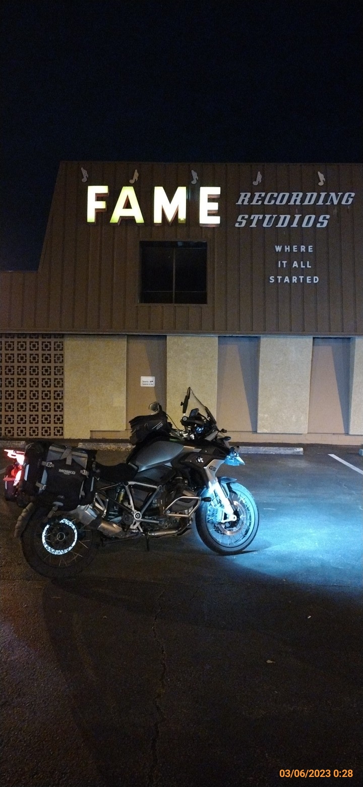
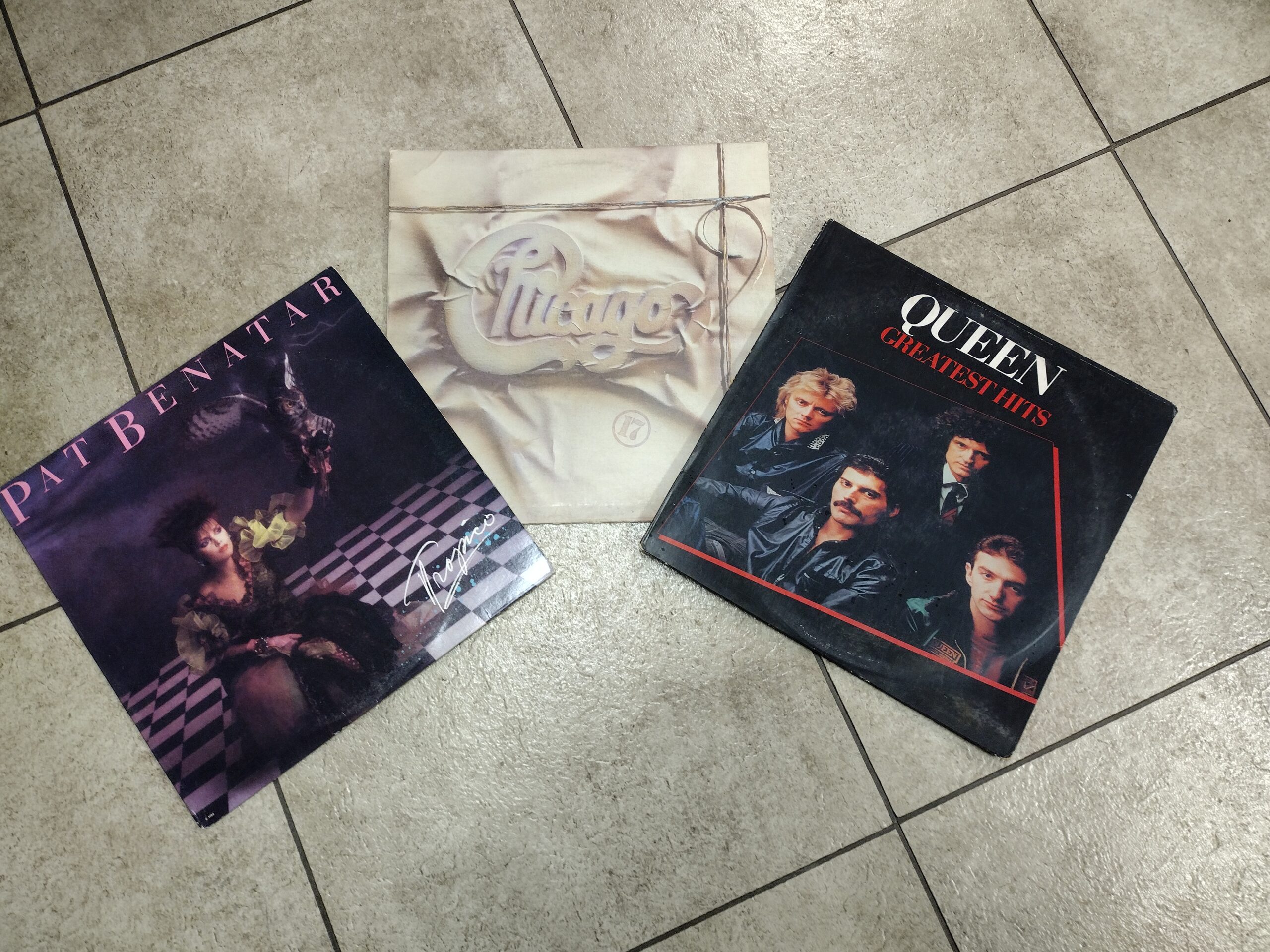
My Iron Butt Ride for March was to honor Alfie, one of the Heroes that the Mile Monsters sponsor. He has DMD and lives in Ireland. He loves boxing and classic Rock. I did my research and was planning to stop for lunch at an Irish Pub, visit the memorial for Loe Lewis, and get a picture at FAME Studios.

I had initially planned to leave at 3am. As I went to bed, I thought I would set the alarm for 4am. When the alarm went off, I just turned it off and decided that I would leave when I woke up. I ended up with almost 9 hours of sleep and felt fantastic. I hit the road at 7am.

Since the delay in starting would case me to spend more time in the dark on unfamiliar back roads, I decided to change my route. I wanted to start the day on the back roads and would end on interstate and divided four-lane. But, I needed to get some miles under my belt to get down the road. I went straight to I-65, then south to Birmingham and over to the Talladega National Forest exit.

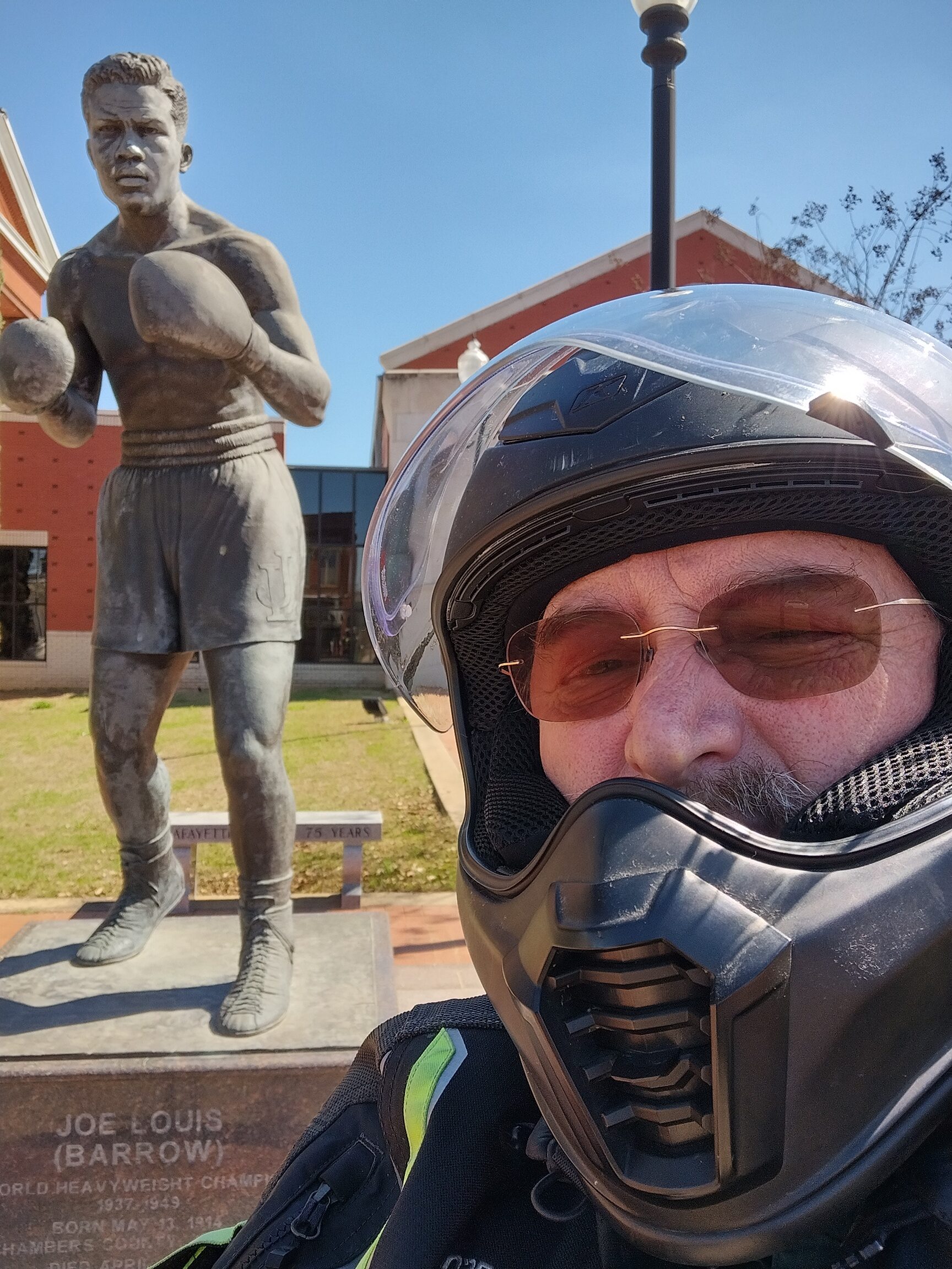
My first stop was to honor boxing, so I visited the Joe Louis statue in La Fayette, AL. If this had been after April 1, I would have been able to get a few extra Tour of Honor bonus points. It was Sunday morning, and the streets were empty.

I was a short ride from Opelika, and I knew of a great Irish Pub where I have eaten several times. I parked the bike and walked to the pub. I walked to the door and pulled it open. As I stood there for a minute, one of the servers came from the back and said that they didn’t open for another 15 minutes. I walked outside and they locked to door behind me. I talked with another couple who was waiting.

The Irish Bred Pub has one of the best Rueben sandwiches around. Since it is fairly quick compared to a larger entre, I got the Rueben and fries with water to drink. The waiter brought the check with the sandwich. He said that he usually doesn’t do this, but he noticed that I seemed to be in a hurry. I explained the Iron Butt and Alfie’s story. I finished my lunch, left my payment with tip, and was on the road.

I needed to make sure that my route would be more than 1013 miles. The Iron Butt Association requires that the mileage be more than 1,000, but the Mile Monster ride increases the challenge to 1,013 miles.

In decided to spend some time on the interstate. I road I-85 from Opelika to Montgomery, then I-65 until I got to the Mobile area. I hopped on US-45 and rode north until I got to Starkville. The “Monster-In-Chief” with Mile Monsters has his son attending Mississippi State University, so I needed to do a “fly-by” in his honor.

From Starkville, a quick ride over to I-55 toward Memphis. Then I-69/269 to US-72 back toward home. I made a quick photo stop in Muscle Shoals at FAME Studios. Then home to enjoy some classic Rock of my own.

On the ride I spent a lot of time thinking. Though I started with what I thought was a problem with the bike and considered this was a sign to get rid of it, I realized that the problem was operator error and will be keeping the bike. I also considered if I were to trade the bike to the Harley shop and get either my original Pan America or get a new one. The reason for this was if I were to get selected for the Hoka Hey.

In the end, I knew I love the BMW. I like the Harley more for the interstate, but the BMW makes deserted back roads fun. Especially if they become less maintained roads. The Harley has a six-gallon tank and decent gas mileage, even at interstate speeds. I might use that for a 1,500-mile ride to Williams, Arizona in a few months. I would do a lot of the riding at night, so it would work out great.

Riding at night… I realized that I am not as comfortable as I once was riding at night. This may have been due to being tired and the face shield was dirty causing the bugs to leave a glare in the lights. My glasses getting dirty didn’t help much either. I was okay on the interstate, but trying to find turns on roads was really a challenge. I may need to adjust the angle of the lights on the bike, they may be angled too low.

The ride caused me to have to make some last-minute changes. I wasn’t going to have enough miles to qualify for the 1,000-mile certification. I made it home with the odometer showing 1025 miles ridden. I pulled into the garage at home shortly after 1am.

2023 – ToH Extreme – Tennessee / Iron Butt #7

My 7th Iron Butt ride and my 3rd for the year.

The last week or so has been hectic. Personal issues, I’ll not go into details. I needed to get on the bike. I have had a couple of ToH Extreme routes in the works for Alabama and Mississippi, but decided to visit the sites in Tennessee. I could also manage to do a ride for Drew of the Mile Monsters.

I had checked and April 9 looked like a good day. Since it was Easter, I would spend the day in prayer on the bike, enjoying God’s creation and handiwork.

I was awake much earlier than I had planned. I moved quietly though the house, getting things ready for the trip. MaryJo had been with me the last few days, so I let her sleep. I rolled the bike out of the garage and went to top off the gas on the bike.

Official start time was 3:04am on April 9, 2023. The first stop was near Memphis, so I took US72 to the Memphis area. I managed to get a state sign picture as I crossed into Mississippi and into Tennessee; both part of the requirement for Drew’s Ride. A turn onto I-269 around Memphis got me to I-40. I had planned to the Brownsville exit, but I wasn’t paying close enough attention to my location and the GPS told me to exit at TN222.

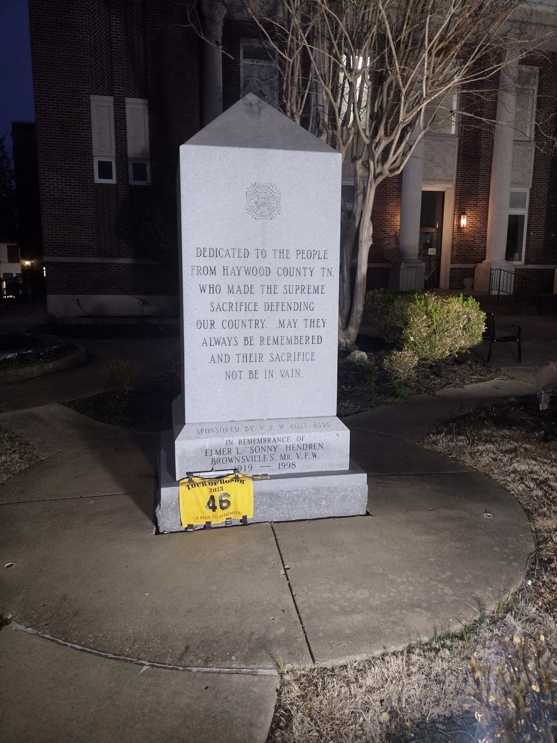
The ride was nice as the sun was just starting to come up. I turned onto US-70 and got to the first Tour of Honor site in Brownsville, TN2. This required two pictures, though at this time of day, I could have gotten the bike and the memorial in the same picture. I summitted two different pictures as required. One of seven Tour of Honor sites done.

I continued on US-70 until I turned on US-79 to take a quick side trip to Trezevant. I was looking for something that indicated making a wish. There was a restaurant named “The Food Genie.” I knew it would be closed, but I would settle for a picture of the bike with the sign or front window.

As I neared the address, I started to get a sinking feeling in my gut. There is a fresh “Building for sale/lease” sign in the parking lot. As I pull in, I see that the sign on the door says “CLOSED” and the restaurant sign was cleaned off the window. Now I had to find something else that signified making a wish.

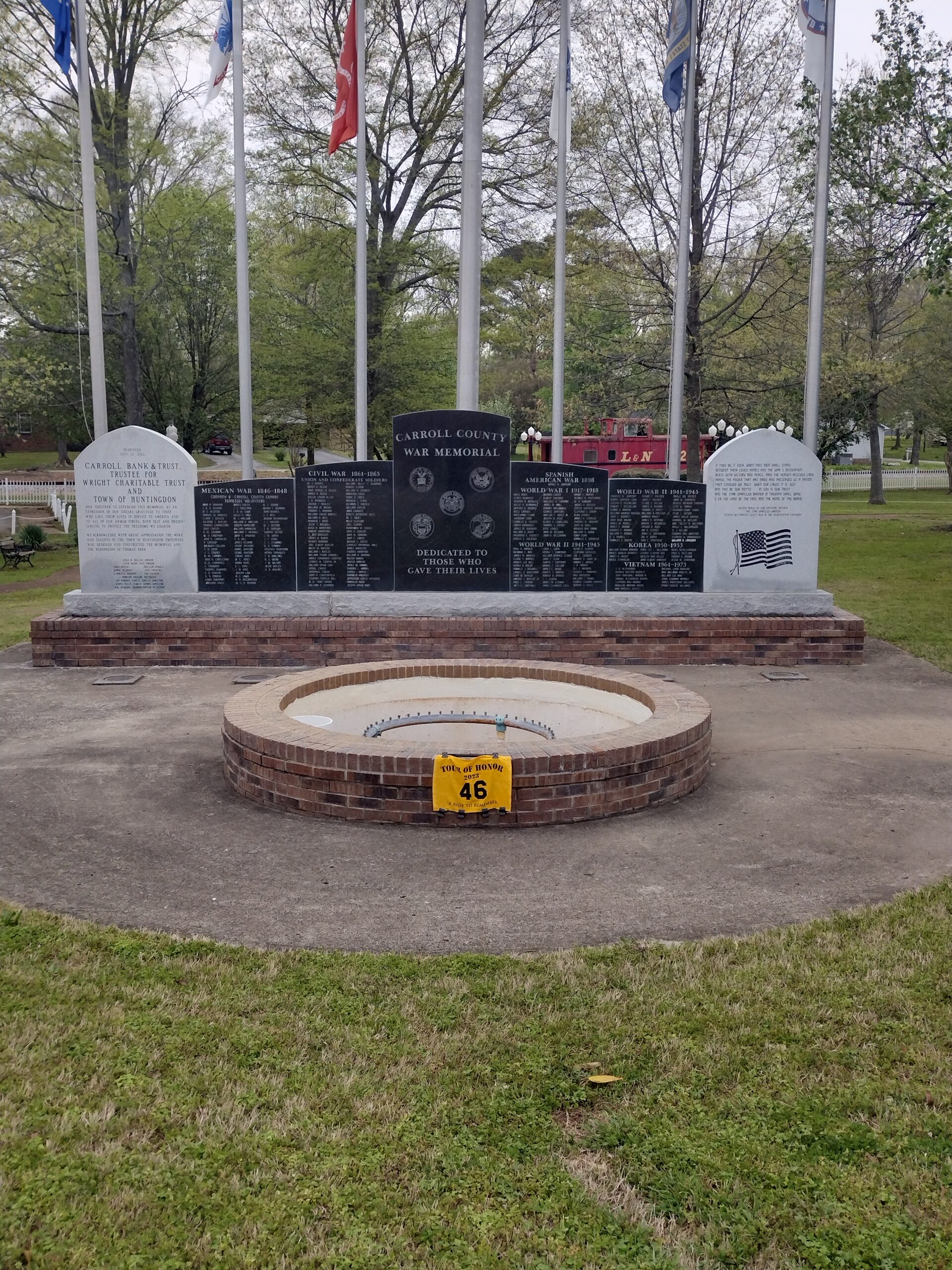
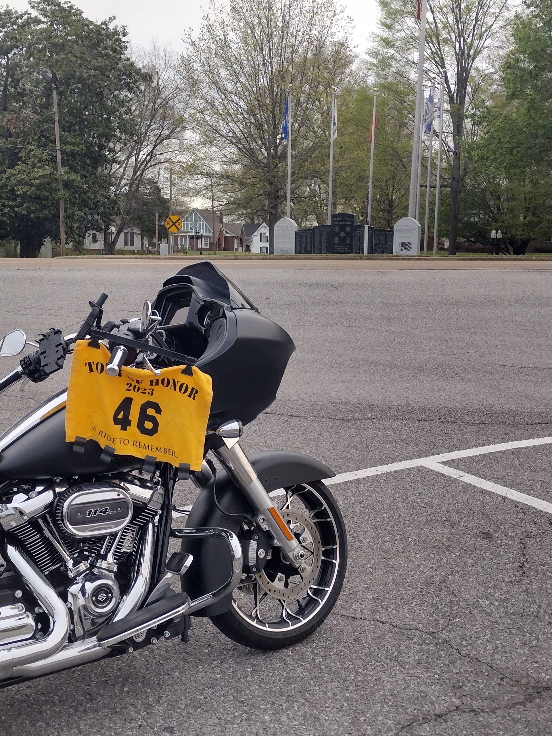
I gassed up while in town, then headed to the next stop, Huntington, TN, TN4. This was another site that required two pictures. I was able to park across the street to get the picture of the bike, and walked across to the park to get a good picture of the memorial.

As I was ready to leave Huntington, the GPS couldn’t decide which way it wanted me to go. I made a couple of u-turns before finally making it out of town and was back on US-79, heading to Fort Donelson.

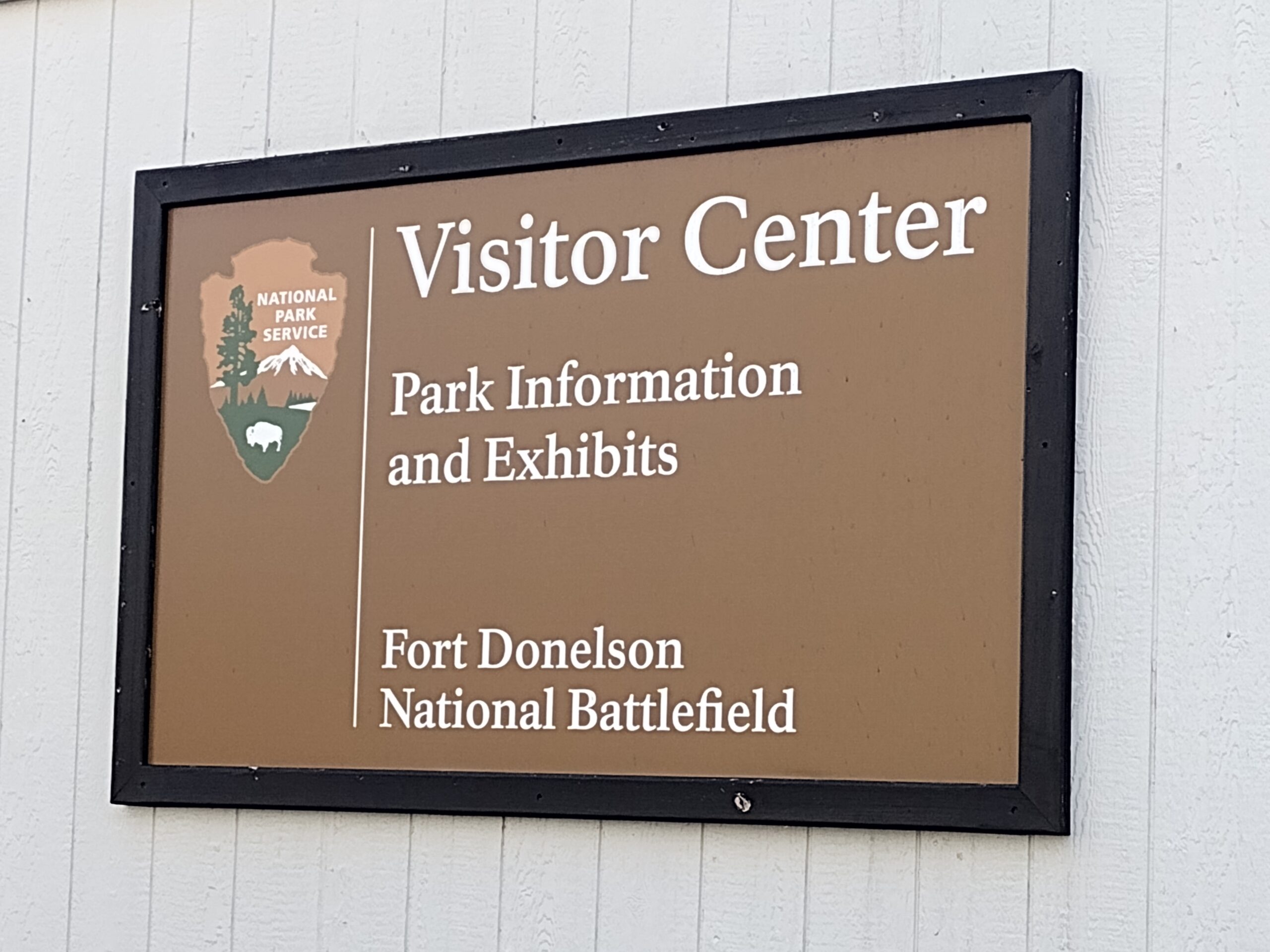
Drew is a fan of Fort-nite. So, one of the pictures for his ride was to find something that was related to either Fort-nite or a fort. I chose Fort Donelson as my picture. When I pulled to the Visitor/Ranger Station, a Ranger came out. We talked a bit and I explained about both the Tour of Honor and the Mile Monsters. I got a picture, then the Park Ranger gave me a Junior Ranger Guidebook for Drew and the Junior Ranger’s badge. Usually, they wait until the person completes the guidebook before giving them the badge; but for him, they gave it to me to pass to him once he finishes the book. These will be sent to Drew with some other items when I get home.

The GPS wanted to play more tricks on me. Somehow, the settings had gotten changed to use the most direct route, not the quickest. This had me going through neighborhoods and even trying to send me through mountain gravel roads! My trip from Fort Donelson has me enjoying some of the neighborhoods in Clarksville.

I finally reached the Tour of Honor site for Clarksville, TN3. This is a Doughboy statue in front of the Veterans’ Home. I have visited the Doughboy every year that I have participated in the Tour of Honor. The first year was what really touched me. I’ll not repeat the story, I did write about it in 2018 when I visited.

I got my picture there and headed for Nashville, then next stop. I hadn’t changed the settings on the GPS so it was winding me through Clarkville to get me to the interstate. It also tried to have me exit the interstate to wind through the city streets of Nashville even though the memorial was only a few blocks from the interstate. I checked that I had not set the GPS to avoid interstates; I had not set that option.

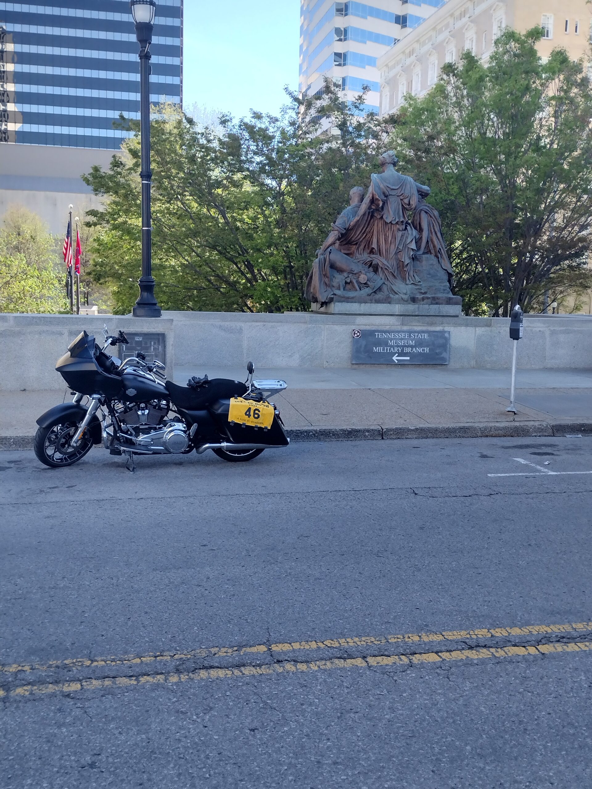
I got to the memorial in Nashville, TN6. I had scoped out parking and was able to find the empty side street where I could park. This site also required two pictures, and I fully understood why! I got the picture of the bike at the top of the park entrance. I then walked down the stairs into the small park where the memorial is located.

I was a bit taken aback. The park looked almost like a homeless camp. I stepped in what I thought was run-off from one on the sprinklers, only to realize that there wasn’t a sprinkler. The area was the entrance to a VA office and a museum, with the memorial in the center of the small park. Not many visitors stayed very long, myself included. I was ready for my next stop.

I had remembered the planning software had a quick route to the interstate, which was only a few blocks away. I ignored the GPS, knowing the exit I needed off I-40. Once I got to the planned exit, I filled up again.

TN-111 took me right to the memorial in Livingston, TN5. The wind made it a challenge for me to display my flag. I got two pictures “just in case”, though only one was required. TN-84 got me back to I-40 and I was on my way to stop number six.

As I got closer to Knoxville, the traffic started picking up. It was getting to be mid-afternoon and I guess that those partiers from the night before were now ready to get up was well as those who went to the noon Easter service were getting out of church. The traffic and GPS convinced me that I should take US-11W from Knoxville to my next Tour of Honor site. The GPS was still set to the most direct route, so it kept “recalculating” each time I passed a road on my left. Several of those roads would signs that either “Not a GPS Route,” “No Trucks Over XX Ft,” and one said “No Vehicles With Trailers, Multiple Switchbacks.” As US-11 curved to the right, I took the left exit onto US-25E. Four lane, divided highway with beautiful mountain vistas and fast twisties. I kept a close watch on the GPS as I neared the memorial.

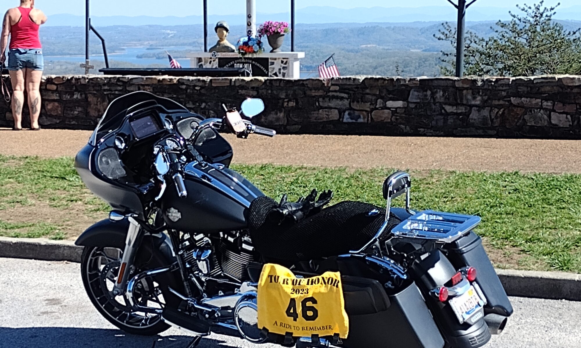
The memorial was at an overlook with a parking area. This site is officially listed as Thorn Hill, TN7. A couple of RV’s, a few families, and a some motorcycles were parked. I was able to park in front of the memorial since most people were focused on the view of the valley below.

I had planned to get a quick picture and back on the road. A couple of things changed the plan.

First, MaryJo sent me a text that I needed to call home. I had forwarded all my calls to her phone, so no one could call me. I called to find that the doctors were prepping mom for surgery in the morning. I needed to be there. We talked for a bit and I knew I had to scrap plans for other rides this week.

Second, as usual with a bunch of bikers and “former” bikers, people like to talk about their bikes and comment on yours. I took this as an opportunity to talk about both the Tour of Honor and Mile Monsters. One guy came up after watching me take the pictures of the memorial. He mentioned that his uncle had helped with the planning of this memorial.

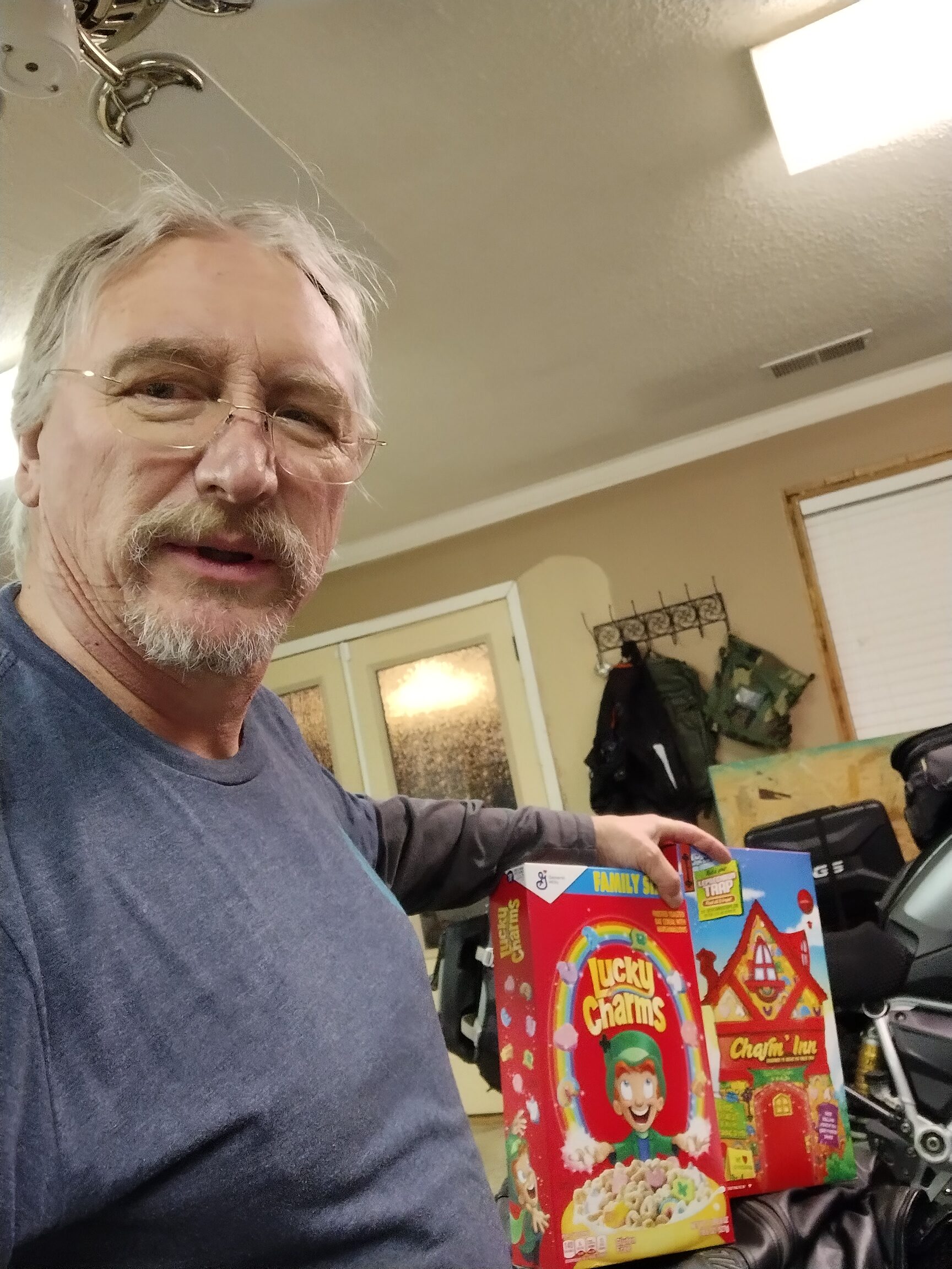
I had one more site to visit before heading home. I also needed something that would meet the “wish” requirement for Drew. I realized that a leprechaun would grant wishes if you could catch one. But, how to catch a leprechaun…?

I followed the route from Knoxville to get back. It was such a pleasant road, I wanted to enjoy it more. As I got into Knoxville, I jumped back on the interstate. Just before taking I-75 south, I stopped for gas again. I was getting pretty good fuel mileage, even at interstate speeds.

It wasn’t as far as I had expected to the Athens exit. The last of the Tennessee Tour of Honor sites, Athens, TN1. This memorial was in a small park in town. I took a short rest to stretch my legs and rejoice that I had gotten all the sites. I still had plenty of daylight.

I got through Chattanooga as the sun was starting to set. the passes through the mountains seemed to all be facing directly into the sunset. Of course the speed limit was 70mph, which meant that most people were going well over that.

I pulled into the Welcome Center off I-59 once I entered back into Alabama. This was the fourth state I had ridden in today. The pictures for Mississippi and Tennessee weren’t very good due to no sunlight, light reflection, and movement of the camera. I think that Tennessee was recognizable because you could see the shape of the state. Though I rode in Georgia, there were no Welcome areas on I-59 and the signs were on the side of the interstate where I couldn’t pull over.

At this stop, I found the setting to change the GPS from most direct route to the fastest route. When I put in the route home, it would be give me close to 1,000 miles. I wanted to make sure that I have a few extra miles, so I adjusted the route and was ready to go.

I called MaryJo to let her know my planned route home. I also talked with her about grabbing me a leprechaun, some Lucky Charms cereal. She thought that was a good idea.

Once back on I-59, I was enjoying the taxpayer dollars with the road construction. I am looking forward to my next pass through there since I hope that I will get to be on the new pavement, this reminded me of the pot holes, tar snakes, and uneven pavement that is a staple of Memphis roads.

I exited at US-278, a familiar road. Light traffic, but the traffic I did meet was rather slow with few chances to pass. I made the turn on AL-157 to I-65. I would usually have stayed on AL-157, but that would have been the hypotenuse of the triangle and I needed the miles from the two legs to make sure I had more than 1,000 miles. I exited at US-72 in Athens, AL, and knew I would be home within a hour.

At the Circle K, I topped off the gas, got my receipts, and took a few minutes to relax. The ride was over, though I still needed the picture of the Lucky Charms. 1,035 miles in 19 hours and 31 minutes.

Picture of Lucky Charms, MaryJo had even found a box that had a leprechaun trap, and I was done.

The letter from the Tour of Honor Scorers took more patience than the IBA processing the certification. Though I did have a few things fogging my mind that caused me to have to keep adding things to the IBA submission, the team there got everything processed.

I then realized that I now qualified for Mile Eater Bronze! This required five IBA rides, of which two had to be GOLD or Extreme. This ride was my seventh IBA ride and my second Tour of Honor Extreme. Paperwork submitted and it was processed within a few days.

I have three IBA rides this year, this one is an Extreme. I have a couple of other rides planned for this year, two also being Tour of Honor Extreme rides. If I do five IBA rides, with two being GOLD of Extreme, within one year (365 days), I will qualify for Mile Eater SILVER! Not a certification that a lot of people earn. I think I will get that this year.

Here is the link to the track from Spotwalla (click here).

Ready for more rides soon.

Iron Butt Saddle Sore #5 (Turbo’s Ride)

It has been almost two years since I did an Iron Butt ride. At the January HOG meeting, a comment was made about people wanting to do an Iron Butt ride. Judith had mentioned wanting to join me a while back, but we never were able to arrange a route and time.

I got to looking over my past rides and the various Mile Eater certifications. The Basic Mile Eater is simply doing two Iron Butt rides of any sort. I earned that a while back, and it wasn’t much, though many people never do more than the first one just so they can say they have done an Iron Butt ride. There are several people in the HOG chapter that did an Iron Butt many years ago, but they never did a second one.

Between Judith wanting to do one, the IBA offering a mentorship program, and wanting to get back into a few long distance rides, I decided I needed to plan a ride. I called Judith to ask if she wanted to do one of the Saddle Sore rides with me. She was excited. We narrowed down to the day, I worked on the route.

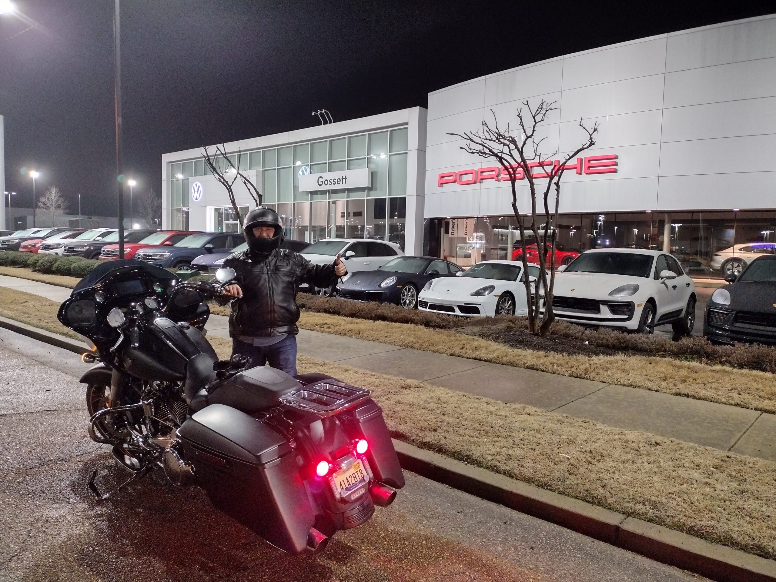
I had wanted to do an Mile Monster Ride for Gavin, “The GOAT,” in January. I had a few chances, but never could get a workable route. February was Turbo’s month. The goals for a “Turbo Ride” was to get a picture Porsche related, Hot Wheels related, and something turbo related.

Judith arrived at our starting point about five minutes after I got there. We talked for a few minutes to go over the route and the process at each stop. The main thing was to get the gas receipt, note the mileage, and get a picture of the receipt with the odometer. we were officially riding at 3:19am.

Our first stop was in front of Gossett Porsche in Memphis, TN. In the 1980’s, I worked for Foster Auto World, he had the Porsche, Audi, Pontiac, AMC, Jeep, Fiat, Mazda, and GMC dealerships. Times have changed, the “empire” has been broken, Mr. Gossett now owns a couple of the dealerships. The buildings have been upgraded to match the newer vehicles, but they are still where they have always been. There was a light rain and it was still dark, the lights reflecting off wet visors was making it difficult to see to park. We went past the dealership, turned into a parking lot to turn around, then pulled to the dealership for a few pictures.

One thing about Memphis interstates, they were built to last and the city/state/ feds were holding that ideal. In other words, there has not been any maintenance on the roads since they were built in the 1980’s. Huge potholes and complete sections of the road were missing. still dark and wet, many of the road challenges were not seen, only felt.

We crossed into Arkansas where the interstate was a little better. The radar and forecast did not indicate rain, but we were getting wet. This was due to the heavy fog. The fog stayed with us almost to Little Rock.

At Little Rock, we headed south toward Texarkana. We stopped for gas near Hope, AR. I got a picture of some Hot Wheel cars for Turbo. Judith asked about lunch plans. I told her that I was hoping to get us close to Monroe for lunch. Several options there. Unless we found something along the way that struck our fancy.

South for Shreveport then turned onto I-20. We were at the halfway point in under 9 hours. I saw an interstate sign for hamburgers. It was quick, but I saw Dixie Inn was the town. We took the exit and followed my head to where I thought the initial sign had directed.

Bad news was that I made a wrong turn and couldn’t find the burger place. Good news was that we found a nice Mexican place. Though I tend to always find a Mexican place to eat and have been about burnt out on Mexican, this place was worth the stop. It was Los Compas.

We spent over an hour at this stop, I had hoped to keep the stop under an hour, but the food and conversation were great. The delay was trying to get out bill! We finally got it and were back on the road.

Gas stop just before Monroe, AL, then rolling again. We traveled I-20 and managed to just miss afternoon rush in Jackson. I think that if we had been a few minutes longer at lunch, it would have been a problem.

Gas stop in Meridian, MS. By our calculations, we should make it to the end, but we will be on fumes! I saw some 18-wheelers in the back, most of them are Turbo-Diesels, so got a picture of them.

A quick top off in Tuscaloosa to make sure we could make it to the end. Good thing we stopped there, we got caught in traffic in Birmingham. It was dark and we could see flashing lights and barricades. Not sure if it was an accident or construction; or both? This had us virtually stopped for about 15-20 minutes.

Once we were rolling, we were just trying to keep from getting run over. Speed limit was 60mph; the slow lane was doing at least 70, imagine how the faster lanes were going!

We pulled into Buc-ee’s, the final stop, at 9pm with 1,046 miles for the day. Just under 18hours. We got all of our notes together and talked about the submission process. Then we parted to head to our respective homes. Judith was headed to Madison, about 10-15 miles away. I was headed back to Florence, about 45 miles away.

I pulled into the garage about 10:30.

2021 Tour of Honor – First Ride of the Year!

Intro

About the middle of last year’s Tour of Honor Challenge, the call went out for State Sponsors. I was hoping that Alabama would be needing a State Sponsor, but did notice that they were looking for one for Georgia. With Jeff in Georgia, I mentioned it to him. I also sent a note to the organizers that I would also be willing to sponsor Georgia if they didn’t feel comfortable with Jeff since he was a “rookie.”

He got an e-mail a few days later congratulating him on being selected. Then the work began. During our ride last September, he asked if I would join him to visit some potential sites to give my input. I was glad to help.

I gave him my input on various sites, and some things that I enjoy about sites I have visited in the past. He took all that information and submitted his proposals to the organizers by the deadline. A few weeks later, he called to tell me that his top seven sites had been selected! He had gotten write-ups, locations, and pictures ready in only a few months.

Over the winter, we talked about the upcoming year. Though I had an idea where a few of the sites might be, I never asked where they were (I actually didn’t WANT to know!). He also spent the winter riding more. Being in Georgia, he had a few more warm days that I did in Alabama. He was excited and ready for April 1!

In February, he asked about meeting on March 31 to head out at 12:01 AM on April 1 to compete for a trophy in South Carolina. Since Jeff has not completed an Iron Butt ride, he also wanted to do an Iron Butt Tour of Honor Saddle Sore Extreme. This particular ride, in addition to the 1,000 miles within 24 hours, you have to visit all seven of the sites within a state. South Carolina might be a bit small to get the 1,000 miles, and would require planning that I wouldn’t feel comfortable trying to plan in a matter of minutes if we were to compete for the trophy. Besides, We could always do the Iron Butt later.

A few days later, he knew that as State Sponsor, he could not compete for a trophy in his home state, but could he do the Iron Butt ride? I assured him that there was nothing to prevent him from doing that. Since he hasn’t done an Iron Butt ride, he needs to understand the planning that goes into it. Once he has done a few, then hopping on the bike on a moments notice to take an Iron Butt ride wouldn’t be as difficult.

He then asked if I would be willing to take him on his first Iron Butt ride together. He asked if I wanted to try for a trophy in Georgia. I gave him an emphatic “NO.” I have specifically not asked for the site locations to honor his integrity. Even if I did visit them and could qualify for a trophy, I would not claim it, just because it didn’t look right and others might think that I had insider information. Again, putting his integrity at risk. He asked me to help him with routes.

By last weekend in March, we had a draft route planned. I knew about where the memorials were, and did not release the planned route as public in case anyone else saw the route and realized what it was.

We were keeping a watch on some serious storms that were forecast for my ride to meet him on Tuesday and Wednesday. I was looking over the cities and asked about changing the starting location. We talked it over and decided to meet nearer to his house. This reduced the miles, though still above the 1,000 mile threshold, as well as reducing the time.

I left home on Tuesday morning. I would ride until I either got to our meeting place or I hit rain that required me to stop. I managed to stay dry the entire ride to our meeting place. I put in 500 miles in 10 hours with less than an hour of interstate.

We met up Tuesday night for supper, then again on Wednesday morning for a ride in the area. I needed to get a gas stop in on March 31 to note my ending mileage for the BMW 2020/2021 mileage challenge. This would also be the starting mileage for 2021/2022. I had about 7,000 miles when I started April 1 last year, the mileage on March 31 was 31,000 miles! 24,000 miles in a year. Not bad considering that I didn’t get to do nearly as much riding as I had planned due to COVID and other commitments.

About time to get a later lunch or early supper. We plan to head out about 1am from a place near where he lives. As of right now, we have it narrowed down to two options.

… to be continued …

April 1

We went to bed about 5pm. The goal was to get some sleep before taking off between 1am and 2am.

The best made plans of mice and men… To make a long story short, I couldn’t get to sleep. Jeff woke up and midnight. He asked if the sites were released. I checked the app and they were there! We could go.

Jeff noticed that I wasn’t excited. I explained that I had not been able to get any sleep, I had been awake for 18 hours. We talked and decided that it might be best to scrap the ride for now.

Once my head hit the pillow, Jeff said I was out and snoring.

I woke up a little after 8am. We talked about options, even considered taking off right away for the Iron Butt ride. Final decision was to take two days to get to Florence.

Jeff needed to stop by his office and his house before we left for Florence. Then we hit the road. A quick gas stop in Jesup and we were off. As we left Jesup, we were heading almost due west, into a strong headwind. Riding was a challenge, letting off the throttle had the same effect as hitting the brakes.

One of the places that I wanted to stop was in Lumber City. A Bar-B-Que place called Stinson’s which is a RTE-X-USA stop for this year. We pulled into the lot and parked. I knew I was going to have an issue getting out, but angled the bike to make it easier to get out of the rut.

We just ordered a sandwich since we had our own drinks already. Since it was early for lunch, I expected a little wait. But there was a line and a backlog in getting orders filled. We waited about 30 minutes for our sandwiches. Not having an agenda for the day, we didn’t mind the wait. Once we had our lunch, it was good. Worth a wait, if I had been hungrier, the wait would have been frustrating.

As we were finishing our sandwiches, a truck pulled up and parked close to the bikes. The guy had a problem getting out of the passenger side of the truck, he couldn’t open the door all the way without hitting my bike. And they managed to pull in at such an angle that I could not back out. Jeff rolled his bike back, then I rolled mine back and forth until I could get it turned around. Then we started rolling again.

We continued west to McRae-Helena, one of the sites in Georgia. Jeff had been leading the way since he knew the best place to park for the pictures. The winds were getting stronger, curves were getting to be a challenge.

Jeff lead to the memorial and we pulled into the vacant lot across the street. We got out our flags and looked for the best angles for the pictures. He never realized how busy this little street would be. We eventually got a break in the traffic and got the pictures.

We didn’t have any set plans for tonight’s stop. Just a leisure ride and stop when we were ready. Warner Robins was the minimum, Auburn was the maximum. We made a couple of left turns to get back on the main highway, making the left turn lights in perfect timing. From here, I led the way. The winds never eased up.

As we got into Warner Robins, Jeff’s low fuel light came on. We stopped at the Museum of Aviation at Warner Robins Air Force Base. We got the picture outside of the sign and inside with the Huey.

A quick fuel stop, then I had to make a stop at the Little League Region Headquarters to get a few pictures. I wanted to get a better picture for the website that I have set up for the umpire association. It was about 3:30. We could stop at the local hotel where I have stayed several times, which has a nice Tex-Mex restaurant and bar next door. Or we could go about two more hours to Columbus/Opelika/Auburn area and hunt for a place there. It wasn’t a hard decision, we headed over to the hotel nearby for burritos and margaritas.

April 2

No pictures for today. We didn’t get in a rush to leave. The hotel’s breakfast wasn’t much more than coffee. We made coffee in the room using the coffee press I had brought with me.

We loaded the bikes. As we were getting ready to go, a family walked past and commented on the bikes. We talked with them for a minute, then Jeff asked if they would like us to pray with them. (We have been wearing our CMA vests the last few days.) The said yes. Jeff and I went to pray over their truck before we left. We said a prayer over our bikes before we took off.

I had seen on the map a place along the way where we could get breakfast. The winds were minimal today. We kept a watch for places to eat. I was not in the mood for a chain restaurant. It was about 10:30 when we pulled into Opelika. Jeff said he needed to eat, we pulled into Cracker Barrel. The wait was at least 30 minutes and the place was packed. We waited a few minutes, I checked that the pub we had visited a few years ago was opening at 11:00. We mounted up and headed over. We only waited a few minutes for them to open.

Jeff needed gas, I was fine. We stopped a few blocks away for him to fill up. If I could make it another 80 miles, we would be within his range to make it home from the next stop.

We made it to Lincoln, AL for a gas stop. I had about 5 miles left on my tank. 5.2 gallons of gas into a 5.3 gallon tank. We would both be able to make it home from here.

150 miles later, we pulled into the gas station near the house. Filled our tanks and headed home. MaryJo was waiting with the garage doors open and supper waiting.

Good ride.

Iron Butt Saddle Sore #4

It has been almost two years since my last Iron Butt ride. Each ride has its own excitements and challenges. This one has been a while in the making.

The basic premise of doing an Iron Butt the entire distance of the Natchez Trace Parkway has been an idea for along time. The Natchez Trace is 442 miles from one end to the other. If someone left Nashville and rode to Natchez, then returned back, it would only be 884 miles. If I rode from home to Nashville to do that, I would add about 120 miles which would get me at the 1,000 mile goal. But I would then end back in Nashville.

A few months ago I started working on a route which looked workable. I would look at it for a few days, then make a change. Eventually, I got the route pretty well worked out. Now I needed to find a date to ride.

I had thought about doing this ride in February. It was going to be cool here at 3am, and cold in Nashville at 6am. Snow on the ground cold! I ended up doing a day ride to Fort Payne, AL.

March 1st, the Ride To Eat Across America (RTE-X) sites were released. With the AUDLR having bonus points for visiting RTE-X sites in each state, as well as bonus points for Iron Butt ride (even more bonus for a 1,000 mile ride without interstate), some last minute adjustments were made.

About a week ago, I started making final plans. A few more route changes and I have a final route. The weather was looking like it would cooperate, and my bride started encouraging me to get out an ride!

I tried creating the route in Rever and Basecamp. I then loaded the route into the Garmin GPS and into the phone’s app for the bike. Everything was starting to come together. I checked and double checked things. The oil was good (I knew I would need an oil change as soon as I get back), Tires good, adjusted the tire pressure, cleaned the windscreen and visor, and checked that everything was properly charged.

Tuesday night I went to bed earlier than usual, but not as early as I had wanted. Hey, it was an Oak Island night! We set the alarm for 2am.

We had both set our alarms for 2am. So both phones went off, of course our alarm tones are different. She hit snooze, I headed for the shower. Last minute wardrobe change and I was ready. Coffee was waiting when I got ready. Some quiet time and breakfast.

MaryJo opened the garage door and gave me a quick kiss as I headed out. It was only a five minute ride to the gas station which I had chosen as my starting point. I got the SpotX, Bubbler, and Rever all set to track properly. SpotX and Bubbler would give live updates every 5 minutes. Rever would give me a detailed recap of the entire ride once I was finished. Gassed up, got the receipt, and the picture of the bike’s odometer. Time: 3:10am, I was rolling.

I had chosen to go up AL17/TN13 to Linden, TN, then to Loveless Cafe on TN 100. It was 50 degrees when I left home. By the time I was at Collinwood, TN, the temperature had risen to 55 degrees. As I neared Loveless Cafe, the temps started fluctuating. As I would cross a river, the temps would drop from 5 to 10 degrees. Biggest change was on one crossing of the Buffalo River, it went from 56 to 38 in less than a minute, then back up to the mid 50’s. My knees and fingertips could feel the change.

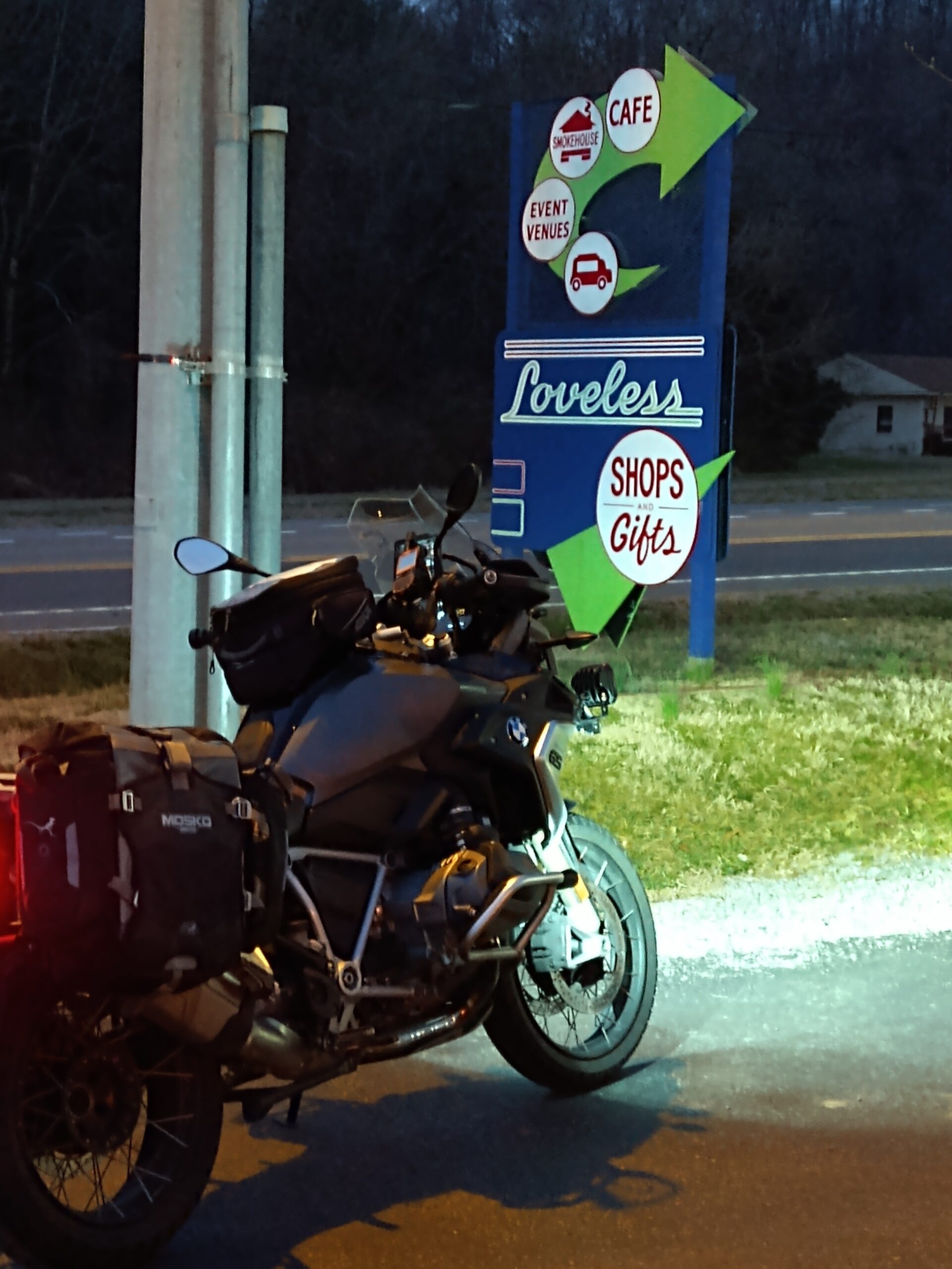
Since I would be making a turn around at the northern end of the Natchez Trace, I knew I would need to get a proof I was there. Since there was a gas station there, I would top off and aim to get at least halfway along the Natchez Trace before stopping for gas. I pulled into the gas station. Lights all one and I was ready to get on the Natchez Trace. I knew that Loveless Cafe didn’t open until 7am, but I didn’t realize that the gas station next door didn’t open until 6am. It was 5:45am. I had to wait, but got gassed up and was rolling shortly after 6am. Though I wasn’t able to get a picture at the big Loveless Cafe sign (the area was blocked offf), I was able to get a picture at the smaller sign with the bike.

It was only a 100 yards to the start of the Natchez Trace. I wanted to get a picture of the bike with the Natchez Trace Parkway sign, but there was no place to safely pull over. I had gotten pictures of the Loveless Cafe, so I hoped that it would suffice.

Once I gassed up the bike, the sun was starting to come up. With the sun coming up, the temperatures should also start rising.

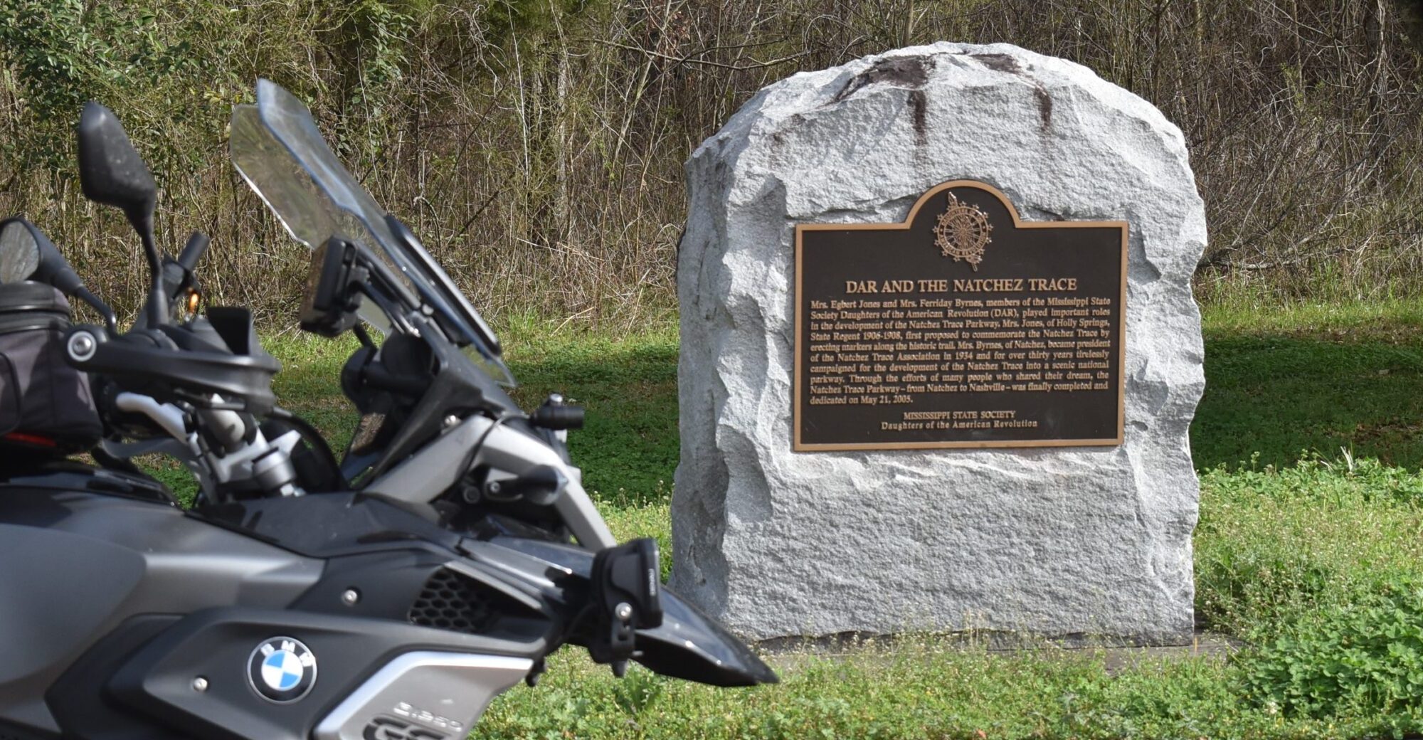
I had been on the Natchez Trace only a couple of miles when I saw the large Natchez Trace sign. I pulled over and got the required picture. I would need pictures at each of the state lines since AULDR gives a point for a scenic byway in each state. The Natchez Trace crosses three state. Though I have already claimed the point for Alabama, I would still need begin and end pictures for the Tennessee and Mississippi stretches.

Many people who live close to the Natchez Trace Parkway comment that once they have ridden it, the ride is always the same. I respectfully disagree. As the seasons change, so does the view of the forest along the way. As the weather changes, so does the wildlife along the way. Today’s ride led to me seeing the most wildlife I have seen on any one ride. I quit county the number of deer that I saw, some grazing along the side of the road, some grazing in fields near the road, and others just crossing the road. I also saw turkey, and lots of them. I don’t know how far off the road the federal property extends, but I do know friends from Virginia who would love to come hunt them.

I stopped to get the picture at the Alabama/Tennessee state line. This meant that I have earned one point for the AUDLR. The point for a Scenic Byway in Tennessee!

The stretch of the Natchez Trace through Alabama is one which I ride often, several times each year. This stretch is only 34 miles. It has rides through woods, farmland (some owned by my uncle), and crossing the Tennessee River.

Unlike at the Alabama/Tennessee state line with the nice sing and pull-off, Crossing into Mississippi is a simple state sign with no area to pull over.

My time goal had me pulling into a stop at Cherokee for gas at 9:00am. I am ahead of schedule by pulling into Mississippi about 8:50am, and I am 15 miles farther down the road than the stop at Cherokee. I didn’t stop at Cherokee for gas, but had that as a time check.

My next time check was an intersection near Tupelo. I passed that time point ahead of schedule. Estimated time was 10:00, I passed it about 9:45. I was gaining time on my route!

My gas stop in Mathtston was to be at 11:30, I pulled into the first gas station about 10:30. Notice, I said the FIRST gas station. I found a pump, and switched off the engine. Made a potty break, then pre-paid for my gas. The clerk turned on the pump and I headed to fill the tank. After a few minutes, I expected to have a full tank. Looking at the pump, I had only put a gallon of gas into the tank. I fiddled with the pump for a few more minutes, thinking that I could get the gas to flow faster. At about 1 1/2 gallons, I gave up, went inside to get my change, and headed to the next gas station in town. The clerk mentioned that they have called about the pumps being slow, they hope to have it fixed eventually. I have the receipt from that gas station, but didn’t get a picture of the odometer with the receipt.

A quick ride to the next gas station. I pre-pay for gas, asking if the pumps were properly working. I gassed up and got the picture of the receipt with the odometer. My time check for Mathiston was 11:30am. Receipt shows that my fill up was at 11:04am. Over 30 minutes to fill up. Though I was still ahead of schedule, I lost a lot of time at this particular stop. One good thing, I had ridden over half of the Natchez Trace on a tank of gas, 239 of the 442 miles. I know that I can make it to the town of Natchez without having to make a gas stop.

North of Jackson, I ran into a lot of construction. Delays, one lane roads, and parts of the road which reminded me of the fire roads I had tested. Even though my intend had been to ride the entire Natchez Trace, a construction detour interrupted that plan. Being off the Trace, I hoped to be able to make up a few minutes since the speed limit would be a little faster. That was the plan, but being a farther distance, I think it worked out about even.

About 1:30, I stopped at one of the RV areas on the Natchez Trace. Just a break to get some blood moving in my butt and to enjoy a snack which I had brought along. I had been watching the skies, which seemed to be darker than I had expected. Even with the dark could at time, I never got rain.

I pull into the last pull-off at the southern end of the Natchez Trace about 3:30. I get a picture of the ending sign and the DAR dedication. Still feeling refreshed from my previous stop, I roll on. The gas station is only a few miles from the end of the Natchez Trace and I am almost an hour ahead of my schedule! Gassed up and ready to put some miles behind me. Divided four lane will mean higher speeds!

I travel US84 into Laurel, MS. One of my main goals on this trip is to avoid interstate at all costs. The GPS is telling me to head straight, the sign for US84 points to the right. I make the right turn, quickly realizing that US84 follows the interstate for a few miles. I find a place to make my way back to Business US84 and ride through downtown/historic Laurel, MS. Once across town, I find myself on MS15. This road will take me to one of the stops that had been a tentative stop. As I had approached Laurel, I was going to just scrap this site and head on. I now have a dilemma, I can go south on MS15 to the optional site or stay straight and get back on US84 which is still part of the interstate. The GPS tells me that the optional site is only 5 miles. I head south on MS15.

It was only a few minutes before I found myself nearing Landrum’s Village. This is a “point of Interest” on the RTE-X challenge. It is closed today, which does make parking in front of the sign an easy task. Though the parking lot is gravel, the GS handles it like a champ. My planned time to get here was 7:15pm. It is 6:10pm, I am over an hour ahead of schedule.

The GPS leads me on a few backroads leading northeast until I make it to US84 without interstate. It stays as divided four lane until I get close to the Alabama state line, where it becomes a two lane road. I make it to Silas, AL. At the intersection of US84 and AL17, I make a gas stop before heading north on AL17. My time estimate was to be at Silas at 8:30pm, I gas up at 7:01pm. I am an hour and a half ahead of schedule. I should make it home by 11:30pm, well within the 24 hours.

It is 243 miles to home. If I am extremely lucky, I can make it all the way home. I should be able to make it to Russellville without much concern. I could play it safe and stop about half-way, to put in a few gallons of gas. I decide to make the call as I get closer to each option.

It has gotten dark, and the roads are fair deserted. When following other cars, I dim my lights and stay back. When car approach, I let them see that my lights have been dimmed. My lights are bright. They are white, and keeping them clean gives the impression that they are even brighter. I mention all this because I met a very nice officer in Carrolton, AL.

I had stopped in a parking lot to plug in the phone and SpotX. They had been running all day on just battery power. I had not turned on the helmet speakers since that system only has about 8 to 9 hour battery life. At night and nearing home, I wanted to be able to call home if I needed. I got everything plugged up and tested, then started back on the road.

It was 9:30, only a few people on the roads. I crept out of the parking lot, checking traffic, and kept going, never coming to a full stop. As I made the turn onto the main road, a local police officer was approaching me. He made a quick U-turn behind me and the blue lights came on. I pulled over and waited, not knowing if it was me or someone else he wanted.

I waited a minute with him stopped behind me. Since he wasn’t getting out of the car, I thought about heading out. I decided to wait a little longer. Eventually, I saw him out of his car and walking toward me. I turned off the bike and hopped off. We had a nice conversation, though it did last for about 30 minutes.

It seems that someone had called the local dispatcher that there was a motorcycle running people off the road at a high rate of speed and shining spotlights in the drivers’ faces. I am glad that he rode a Gold Wing and appreciated the lights. I showed the high and low settings, both were brighter than most people expect. We then talked about computers, retirement, and more about riding. He checked my license and all was good. I explained the Tour of Honor, giving him my card and a poker chip. I hope he reads this. I appreciate the conversation, without a ticket.

If he is reading, I am checking to see if I can change the lower setting to reduce the brightness a little more. I have heard of a few other bikers recently getting tickets for “failure to dim.” I don’t want to get a ticket from a non-biker officer who doesn’t appreciate a biker who wants to see and be seen! Thank you!

I pulled into Reform, AL to top off the tank to ensure that I would make it home without a problem. A quick gas and go, then I was heading north on AL17. Between the traffic stop and the gas stop, turning the bike on and off, both GPS units decided to take a nap. They couldn’t even agree on north! The routes kept changing and as I got into one town, AL17 north had signs pointing both left and right. AL17-South was straight ahead. I tried my luck and kept on.

My after ride tracking showed that I was soon heading south. I came to US43. This road would work to get me home! I made the left and followed the signs until the area started looking familiar. Once on divided four lane, I was able to try to make up a little time. Though I was starting to get a little tired, the excitement of being home soon kept my adrenaline up. I quit paying attention to the GPS, actually disabling the phone GPS feed to the bike. I left the Garmin running since it does show the map.

I called home to say I would be there about 12:30. I was still under the 24 hour time limit. The final gas stop was near the house. I gassed up, turned off all the tracking devices, got my pictures of the receipts with the odometer, and headed home.

As I rounded the turn onto my street, I saw the light come on in the garage and the door open. Such a nice greeting! I had done it!

So, the points for today.
AULDR (America’s Ultimate Long Distance Riders)
1 Point – Scenic Byway – Tennessee
1 Point – Scenic Byway – Mississippi
1 Point – RTE-X Site – Mississippi
3 Points – Iron Butt SaddleSore – No Interstate!
6 Points – Total Today

RTE-X
1 Point – Southern Terminus of Natchez Trace
1 Point – Landrum’s Village
1 Point – Iron Butt SaddleSore while visiting RTE-X site
3 Point – Total Today

Today, the day I am finally posting this, is a week since that ride. Some may not understand, but I am ready for another ride. Is my body sore and do I feel sleep deprived? Yep, but I will eventually get over the soreness and get more sleep. I talked with Jeff last night and we are looking at starting the Tour of Honor with an Iron Butt ride. Where? Can’t say yet, the site locations won’t be released until April 1.

Stay tuned for more rides!

2019 Tour of Honor Ride, An Alabama Saddlesore 4/2-4/3

This will be posted in both the Tour of Honor and Iron Butt sections, so don’t think you have to read it in both, they are the same.

The sites were released at 12:00:01 on April 1. I had several errands that had already been assigned to me that prevented me from taking off right away. The advantage is that I now had a day to plan a couple of routes. Maybe I could get a trophy (the first three riders to complete a state or region), maybe a Tour of Honor Saddlesore, or maybe even both!

Looking over the sites, Mississippi looked to be the easiest to visit all seven sites, add a few additional sites, and I could get the Tour of Honor Saddlesore. Alabama looked like it would be a bit more challenging since almost all of the sites would require back roads between each site. As the evening of 4/1 drew in, I saw that MS had a 1st place trophy winner. 2nd and 3rd were still open. AL still had all three trophy places open.

My plans had been to leave between 2:00am and 3:00am. My Monday meeting went much longer than expected and it was close to 10pm when I home home. Still needing to wind down a bit before bed, I knew that I would not be in any condition to attempt a 1,000 mile ride. I set my alarm for 5:00am.

Alarm goes off as planned. I check the Tour of Honor site and see that all three trophy places have been claimed for Mississippi. Alabama only had the 1st place trophy claimed. I still had a chance for that. I quickly load the route into the bike’s GPS. I had set layover times for each of the stops in the software, marked a few roads that I wanted to use, and set the starting time as 6:00am. With all the information, software showed a finish time of about 2:15am. Once in the bike’s GPS, it shows I should be done by 3:00am. A long ride, each GPS may calculate road speeds differently, so an hour difference over 20 hours wasn’t a big concern. Besides, I have 24 hours and these are both within that time frame.

I get the SPOT tracker set up. Realize that I didn’t have my back-up GPS on the bike. I go back into the house and get it. Since I am only using it as a back-up, I don’t load the route into it. I do need it since it will be used to get a more accurate mileage for the ride. The odometer on many motorcycles are not very accurate. 5% accuracy on a 1,000 mile ride would be 50 miles. That could mean an hour of riding on back roads.

I kiss my sleepy bride, we say a quick prayer, and off I head to the gas station. I already have all the papers ready for my witnesses to sign. My time starts based on the receipt when I fuel up. I explain what I am doing, give him one of my cards, and ask him to sign as a witness. Since I always see him and we chat, he readily agrees. I pay to turn on the pumps, go gas up, then go back for my change and starting receipt. 6:10am, I am on the clock now.

First stop is the Cobra helicopter in Florence’s Veterans Park. Park opens at 6:00am, should be a quick ride in, picture, and on my way to the next stop. As I leave the gas station, I forget that I wanted to visit there first. I turn right, the GPS starts off right away with “recalculating” and “make a legal u-turn when possible” a few times before I remember about the helicopter. I make a quick turn and head to the park.

As I turn onto the road to the park, I see the gate is down and locked. I ride as close as I can to see if I can at least get a picture from the gate. No such luck. There is a plane blocking a clear view of the helicopter. All I can see is the nose of the helicopter, not really enough to claim a visit. I double check the park times and see that it SHOULD be open now. Maintenance building is dark, so I know that no one is around. I don’t want to use too much time waiting, so I scrap the picture for now. This is close to the house so I can visit another time before October 31. I turn and head to the first Tour of Honor memorial.

Leaving at 6:00am means that though it is cool right now, it should warm up quickly, even if riding at 60+ mph.

I head to Haleyville, AL. As I ride through Russellville and Phil Campbell, so little traffic. I manage to make most of the lights green and only have to slow down a few times. Just before I get to Phil Campbell, US-43 and AL-13 split. Haleyville is ahead on AL-13.

I have been through Haleyville many times on various rides. If the ride is to the south, I either pass through Haleyville going out or coming home. I have visited this particular memorial in the past. As I approach, I am very glad that I am here early. The whole row of parking spots are open. I pull in and get a great angle for a picture. A couple of people pass by and wave as I take the pictures. Take a picture with the phone and one with the camera.

Haleyville, AL

I hop back on the bike and make a u-turn, then left turn to get back on my route. I head south on AL-13. A quick right turn, then left turn at Double Springs and US-278 keep me on AL-13. A long straight stretch is so tempting to open the throttle and cut a few minutes off the time, but is it worth getting stopped? I keep it close to the speed limit and enjoy the morning air.

As I approach what I had planned as my turn, the GPS wants me to make a turn earlier. I slow to make the turn and realize the GPS was sending me down a dirt road. I keep straight and listen to “recalculating” for a few miles. I get my planned turn and the GPS and I are back in sync. For now.

I arrive in Fayette, AL and see police in the road ahead. I slow to see if I need to alter my route. There is a crane blocking the lane on my left. I carefully ease past, wave at the officer, and make the turn into the town square. Someone is already in the spot in front of the memorial, but all the other parking spots are open. I turn into the parking spot, get a couple of pictures, back out of the parking spot, and ready to roll again.

Fayette, AL

I head south toward Tuscaloosa, home of the Crimson Tide. Traffic starts picking up as I hit the outskirts of town. The GPS again tells me to make a turn. This time it looks more like a driveway into the woods. No street name, but there is a mailbox at the entrance to the turn. I opt to go straight. A few miles later, the GPS tells me to turn again. Being wary, I go straight. I should have turned. No big deal, only a short detour and I get back on track.

I turn onto the bypass around Tuscaloosa. A few miles later, I see a toll-booth. Not a lot of traffic, but enough that you would expect more than just one of the booths open. As I reach the booth, I take off the glove, pull out my wallet, dig out two dollars, wait for my change, put my change and wallet back in my pocket, put my gloves back on, and finally start rolling again. I glance in the mirror and see a line of cars that had built up while I paid my toll. I think to myself that I didn’t see that $10 bill which was change from my starting gas stop. I had just put it around my wallet instead of in the wallet. I stay on the toll road until the interstate. I get to put some miles behind me quickly for a while to make up for the slower back roads. I think for a minute then remembered that I didn’t have I-20 on my planned route.

I pull into Cuba, AL for a gas stop. 215 miles, 4 hours, 5.4 gallons. Not bad, still within the 50 mile an hour average. This includes the time stopped to take pictures at the two memorials. Averaging 50 mph makes the 1,000 mile ride at 20 hours. I had planned time at each memorial and time delays at gas stops. I walk into this gas station to prepay. As I walk up, a lady runs and puts her stuff on the counter to pay. The clerk starts ringing her stuff up, then she goes back to pick of something else. This goes on for a few more times. She pays for her purchase, then talked with the clerk since he went to school with her son. They are enjoying the time reminiscing. People are lining up. I am afraid I am too low on gas to go to the next exit. She eventually leaves. As she leaves, the clerk goes to the back. He comes out a few minutes later ready to take his smoke break. He walks past me, then acts surprised that there are people waiting. He takes my $20, turns on the pump. I head out to fill up the bike. I go back in and he has my change, but acts like it is a major process to get me a receipt. I take the picture of the receipt with the odometer mileage and the back-up GPS mileage. I head back to the interstate.

As I cross into Mississippi, I realize that the GPS has ignored my desires to stay in Alabama for this entire trip. I had put waypoints along the route in the software to keep me in Alabama. I turn only US-45. At least I can put some serious mile in quick time behind me. I see that the GPS is about to have me exit, but that the main route will continue back on US-45. I zoom out on the GPS and see that all my waypoints are still there. The Harley GPS wants me to stay on US-45, so it plans for me to exit US-45, go west 10-15 miles to the waypoint, then BACK to US-45. OK, I’ll skip that waypoint. I know that my next memorial is in Fairhope which is just east of Mobile. I skip the next few waypoints until I get close to Mobile. I make an exit off US-45 to take a back road to I-65. I-165 ends into downtown Mobile. Only a short trip to I-10. GPS points one direction, too much traffic for me to want to argue with it or try to second guess it. I get one I-10 and quickly get the all too familiar “recalculating.” I am headed west on I-10 and need to be going east. I take the next exit and get back on track.

As I exit the tunnel on I-10, I see the USS Alabama. If I had realized I would be this close, I would have made the stop there with visit the memorial for a few minutes and get a picture of a Huey helicopter that is there.

I exit at US-98/Fairhope. The first slow traffic on my trip. I see lots of cars and lots of stop-lights ahead. The lights don’t seemed to be timed to allow a smooth flow of traffic. It seems that only one light is green at a time, and the drivers ahead of me don’t get in a hurry to get through the light. I check the GPS to see if there are side roads I can use to get to my next stop, nope. I eventually get to the turn through Fairhope. The street takes me down to a park on Mobile Bay. I ride through the loop in the park back out the exit to make a right turn onto the street I want to be on. I guess the GPS thought I needed to relax in the park overlooking the bay. Usually I would have enjoyed the break, but I am on a time schedule.

Speed limit in the area is 25 mph, I am behind a couple that will make sure I don’t speed. They eventually get up to 15 mph, just about the time I get to the American Legion, my next stop.

Fairhope, AL

There are several different sights that would make a good picture, but I am required to take a picture at the spot the sponsor wants. I pull out my paperwork to double check and see that the picture must be taken next to the sign. I pull over to the sign, get the picture and prepare for the journey out of Fairhope.

I get behind an even slower driver as I try to leave. The turn by the park is at a steep angle. He stops and waits. And waits. As he starts rolling, I check the traffic coming up the hill, check that he has moved on through the intersection and start to make the turn. He stops! I am leaning for the turn, headed up a hill, and this guy stops! I follow him to the street where the GPS wants me to turn. He turns and I decide to go straight. I see that it will get me back out to the main road. I wish I had loaded the route into the back-up GPS. I might have been able to avoid some frustration since I would have known to go one more road before turning. Hindsight is 20/20. Next stop Eufaula, AL

I get to I-10 and enjoy watching all the cars get on the interstate. I stay off the interstate for a while, taking a few back roads. I am getting over 200 miles per tank. I wanted to fill up before getting on I-65. I see a gas station on the left, across from the entrance to I-65. I pre-pay, fill the bike, then get my change and receipt. A nice chat with the girl that works there as I take my pictures of receipt and explain what I am doing. 214 miles, 5,1 gallons, just over 4 hours since my last gas stop. Total of 429 miles just over 8hrs. Still keeping my average at 50mph.

I get to I-65 and head north toward Montgomery. Here is where the routing becomes challenging. The advantage of the back and forth will add to the miles, helping me to get to 1,000 miles. I still have that 24 hour time limit. I am still on my time schedule.

I use the time on I-65 to build up my mph average which will help make up for lost time at the last gas stop and when I get on the back roads.

I exit I-65 north of Evergreen. Ah, I remembered Evergreen from last year. As a refresher about last year, I had lost my rally flag in Montgomery. My next stop was in Evergreen. I pulled into the parking lot in Evergreen, opened my tourpak, and didn’t see my rally flag. I had to adjust my trip, order a new rally flag, and use to back-up for a few days. I revisited Evergreen, as well as the other Alabama sites that had been planned for that trip, on a later ride.

Back to this ride, I exit I-65 at Georgianna, Alabama, the hometown of Hank Williams. I take a nice country road for a while. I am in unfamiliar territory, I have to rely on the GPS and hope that it is through playing games with me. I ride, following its direction. I follow the instructions to “turn right.” This country road is a little less traveled than the last, but I trek on. Every mile or so I turn right or left. I approach a “T” in the road. The GPS says to go left, but my instincts tell me that isn’t a good idea. Could it be the narrow road, though it is paved? Could it be the sign that says “State Maintenance Ends”? Could it be the view in the distance where I see that the pavement ends? The deciding factor? The sign that says “No Outlet”. I pull over at a church lot. I look at both GPS units, zoom out and see what lies where. I see a route to a major road and that I can get back on track. I make a right turn and eventually get back on a major road, US-29.

With few concerns, I make it to Eafaula, AL. Civilization! Late afternoon, shops are starting to close, eateries are starting to get busy. I find the memorial and can park right in front of it. I get a great picture. I enjoy the quiet ride through town.

Eufaula, AL

The instructions on my Bluetooth headset says I should get over 13 hours of Bluetooth usage. As I had started off, I turned to Bluetooth on for just GPS and phone usage. I’ll listen to the music through the speakers. I won’t be in crowded area or near a lot of traffic often, so the speakers shouldn’t bother anyone else. I set the volume low, but so the volume will increase with the speed of the bike. Everything seemed to be working as planned, until I see the “Headset Battery Low.” I turn off the headset and adjust the GPS to give prompts through the speakers.

The gas warning light comes on as I leave town. I see a gas station ahead and pull in. There are several pick-ups pulling boats. I go in to pre-pay my gas. The lady at the register is a nice lady, seems to know everybody in town. And she keeps talking on and on with the lady checking out. I finally give her my $20 bill and go fill up the bike. I go in to get my change and there is a line to checkout. Yep, she is getting the full day’s update one the goings on from each of the customers. Usually, I could care less and listen, use some of those social engineering skills that I haven’t used since I retired. A second cashier opens up the other register. She calls over a friend that is in line. She starts a conversation with that customer. I end up working on my patience. My turn in line, I get my change and receipt, smile, thank her, and head out. 210 miles, 5.1 gallons, another 4hours. Still at that valuable 50mph average for the 20hour time. I am at 639 miles, almost 2/3 through the Saddlesore’s 1,000 mile goal.

I take a few minutes to review the route to the next stop, Auburn. Less than 100 miles, mostly 4-lane roads. A chance to build up a little buffer on the time. My back-up GPS keeps track of moving time and the average mph while moving. This shows about 60 mph. I may be able to get that up a little over the next hour and a half. I take off north on US-431. I saw a sign that would have taken me on 2-lane to Opelika, which was on the way to Auburn, but I chose to stay on the route that I had planned. Faster roads, many that I have driven on. I head toward Columbus, GA, then make the turn toward Opelika and Auburn. The GPS lead me right to the K9 Memorial at Auburn Veterinary School/Hospital. I parked nearby and took a few pictures.

K9 Memorial, Auburn, AL

I follow the GPS to get me back to the interstate. I knew where I should be going because I have passed Wetumpka a few times previously. Before I realize, the GPS tells me to exit the interstate. A little sooner than I was expecting, but I thought that this might be a quicker route. I take the exit and follow willingly. A few miles later, GPS says to turn left. The wide 2 lane road turns onto a narrow 2 lane road. I expect that if I were riding here during the day I would see farmland. In the dark, all I see is DARK! The stars are beautiful. I crest a hill and the road narrows. The road is straight, no curves, but in the dark, I keep the speed down. I see my lights being reflected from something ahead. Just as I approach, I see that the sign stating that the road is closed.

I stop, think a few minutes to cool off. No happy right now. I think fr a few minutes about my errors and misfortunes so far.

  1. I didn’t load my route into my Garmin GPS which I use as a back-up to the Harley GPS.
  2. I didn’t put my map back into the bike the last time I took it out. Yes, I know how to navigate with a map and compass.
  3. I didn’t plan for a power loss on my headset.
  4. I will admit that I was rushed when planning this route and didn’t put all the waypoints on the route to fine tune the route.

Pity Party time is over. I need to get back on track. I need to get back on the road and see where I can make up some lost time. I turn around and retrace my tracks to the interstate. I have set the GPS to give prompts through the stereo speakers. I take the exit for US-231 and head north. Light traffic on the outskirts of Montgomery. About 8:00pm, so not many people are out. I see signs for Wetumpka and a sense of calm comes over me, I take a deep breathe. The GPS loudly announces to turn left ahead. I slow, as I am in the middle of my turn, my panic starts to come back. The road drops. The road is steep, loose gravel, and no street lights. I ignore two commands from the GPS to turn right. Hard to turn right when there is no street! There is no road to turn at the first command. A quick “recalculating,” I get the second command to turn right. I don’t think these people would want me to turn through their driveway. The GPS falls silent. The Harley’s screen has a map of the area and I see the marker for my next stop. I make a couple of right turns and I hear the GPS announce “you have reached your waypoint.” A few lights on the courthouse, but the grounds are dark. I use the flashlight to give me a little light to view the area. There is a memorial right next to me, and what appears to be one a bit in the distance. I take a couple of pictures using some of the techniques that I recently learned. Thank you Liz!

Wetumpka, AL

My next stop is Wedowee. I have no idea where it is, nor how to get there. I have to place my trust in the GPS. But the GPS and I aren’t starting off this stretch on a good note. The route has me going back the way I came in. That isn’t happening. I look at the map on the screen and it looks like I can get back on US-231 if I go on another route. I decide to use my instincts and ignore the GPS for a few minutes. As I drive through historic Wetumpka with the GPS switching between “make a U-turn,” ” turn right,” and “recalculating.” It is after 9:00pm, most lights are out in the homes I pass.

My instincts were right. I make a curve and there is US-231. And I am at a stop light! I make the left turn only US-231. I stay straight as US-231 makes a left turn. I am on AL-9. Road sounds familiar, I hope it isn’t the road that had all the bridges out last year. I have to trust the GPS. I get to Central, AL and the GPS pipes up and guides me left. Both roads are wide 2 lane roads. I take the left turn. A few miles later I turn right. I soon see that I need to turn left back onto AL-9.

I ignore a few instructions to turn either right or left onto what looks like a less than desirable road, especially in the dark. I do make the right turn onto AL-22. I pass through Alexander City and notice I am low on gas. All this time and I have been ignoring the fuel gauge. I pass a few places where I would usually stop during the day, but these little towns are closed. I see a gas station ahead. Seems to be in the middle of no where. I pull up to the pumps and wait. No one in the area accept the clerk and me. I sit on the bike for a few minutes. I am getting cold. As it sun set, the temps dropped. I go inside, prepay for gas, fill the tank, and go in for change and my receipt. I ask the clerk “where am I?” Seems I am in New Site, AL. Great information, but I should have been more specific. I get the Garmin GPS. I look at my phone and see that I finally have a cell signal. I pull up the other two Tour of Honor sites, Gadsden and Athens. I put their locations into the Garmin GPS. I order a cup of coffee. Not to drink, but to warm my hands. I do take a few sips. I enjoy the heat of the coffee in my hands until the cup is lukewarm. I have three locations in the Garmin GPS, Gadsden, Athens, and home! I decide to scrap the stop in Wedowee, wherever that may be. I check the mileage for that route and expected time to final location. I will have over 1,000 miles and still be under the 24 hrs. I have been watching as the expected time to completion gradually increase to 4:00am. That means my average mph will be under my 50mph goal. Just under 200 miles and it has only been 4 hours since my last gas stop. It sure seems like a lot longer. It is 10:00pm. Right now I have been on the road 16 hours, 800 miles. I am right at the magic 50mph average.

I adjust the two GPS units, the Harley and the Garmin. I set the Harley GPS to skip the next waypoint, the stop in Wedowee. The Harley GPS goes silent, recalculates, and shows that I should be at my final destination about 4:00am. The Garmin GPS shows I should get home about 3:00am. I wonder where the Harley GPS plans to try to send me.

I start the bike and immediately see the difference in proposed routes. I choose to follow the Garmin GPS. In about 15 miles, I make a right turn back onto AL-9. In another 15 miles, I make a left on US-431. I can find my way from here! I start to relax and enjoy the twisting roads on US-431. Then a quick run on I-20 and back on US-431. Now it is mostly 4 lane roads. Gadsden is ahead. The Harley GPS has been silent since I left New Site, AL. Not a peep. Stereo has been keeping me company. My Garmin GPS leads me to the memorial in Gadsden. My calculations estimate that I should be real low on gas by the time I get to Florence Circle K, my end of trip fuel stop. It is just after midnight. Gadsden from the house is about 3 hours. Garmin GPS shows getting home at 3:15am, Harley GPS now shows 3:45am.
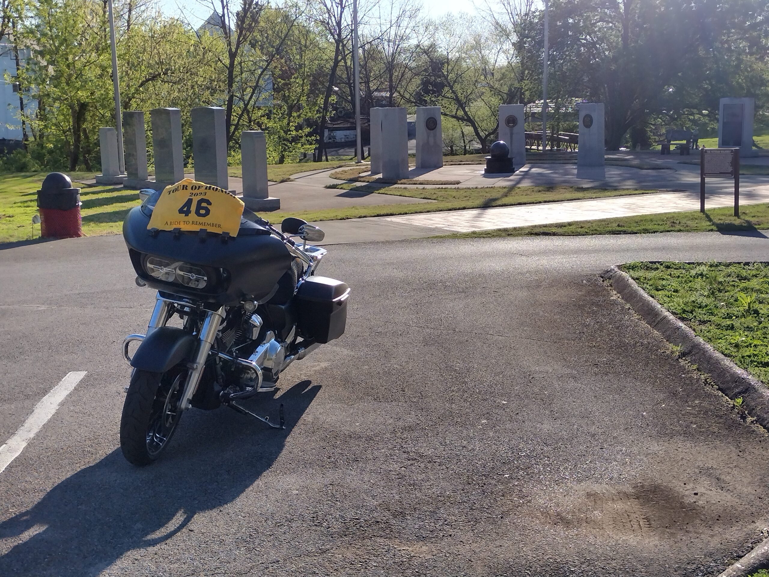
Gadsden, AL

Back on the bike and north on US-431. I make the left onto US-278 just outside Gadsden. A couple of options that I know to get me to Athens. I’ll follow the Garmin GPS to get to Athens. I get to US-231, make the turn north, then a right onto AL-69. These have been nice 2 lane and 4 lane roads. Light traffic, but no feeling of seclusion. I get into Decatur and make the turn to get onto I-65. A quick ride and I take the Athens exit. I haven’t been watching either GPS for a while. I now check to see exactly where I will find the last memorial of this ride. I usually travel through Athens when going to Huntsville from Florence, never venturing off US-72. I make the turn and head toward the courthouse. Music is playing, courthouse is lit with blue lights. The memorial I want is well lit. I take my required picture and get take a huge sign of relief. Time is 1:45am, about an hour from home, straight shot from Athens to Florence on US-72.

Athens, AL

I follow the Garmin GPS back to US-72. Both GPS units show that time to final destination is 3:00am. The Harley is still set to end at the gas station, the Garmin is set to take me home from here. I pull into the Circle K. I put the kickstand down and take a minute to relax. I go in, give the clerk a $20, tell him which pump, and ask if he will sign as a witness. He agrees and I leave my clipboard with him while I go gas up the bike. I get my change, receipt, and clipboard. Ending time: 2:40am. Total miles (as per Garmin GPS): 1053.6 miles. I kept at my 50 mph goal. I am DONE!
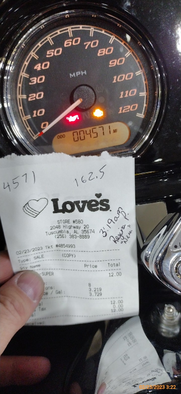
I take a few minutes to turn off all my tracking devices, take my odometer pictures, file my receipts, and double check everything.

By 3:00am I am home. Now it hits that I am cold. REAL cold! I had put on my insulated liner, that helped a little. But my fingers are numb. I get into bed and start shivering. Within minutes, those flannel sheets warm me enough that I am fast asleep.

Only thing left is the documentation.