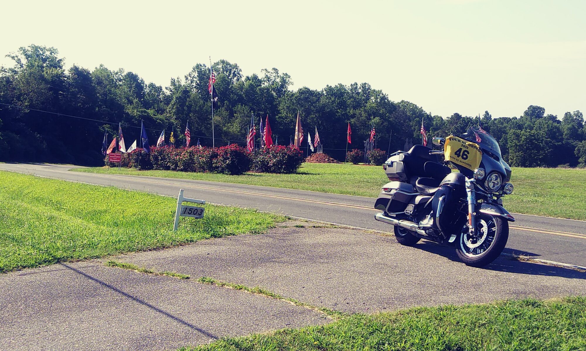
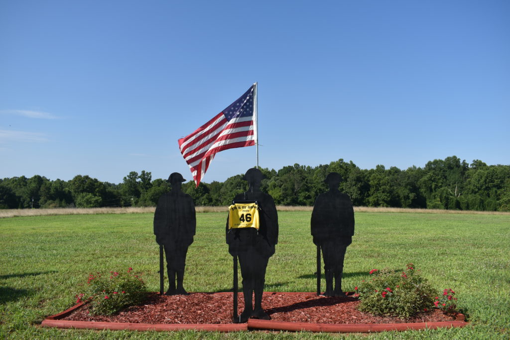
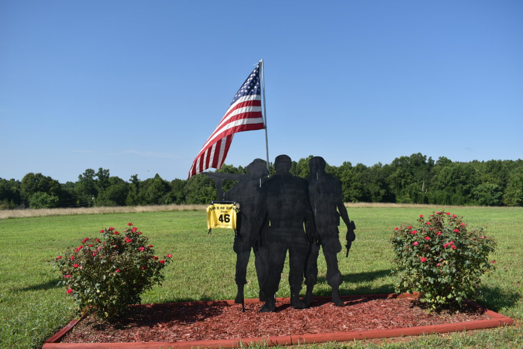
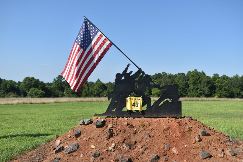
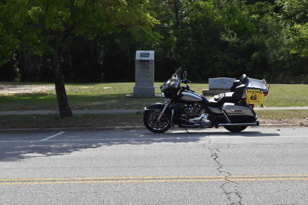
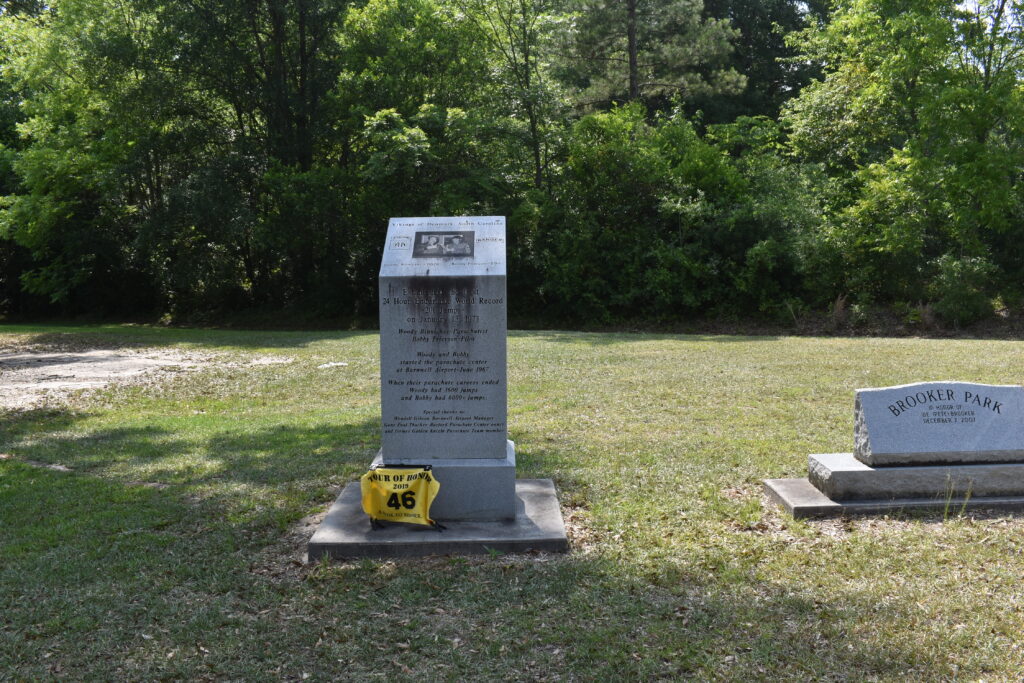
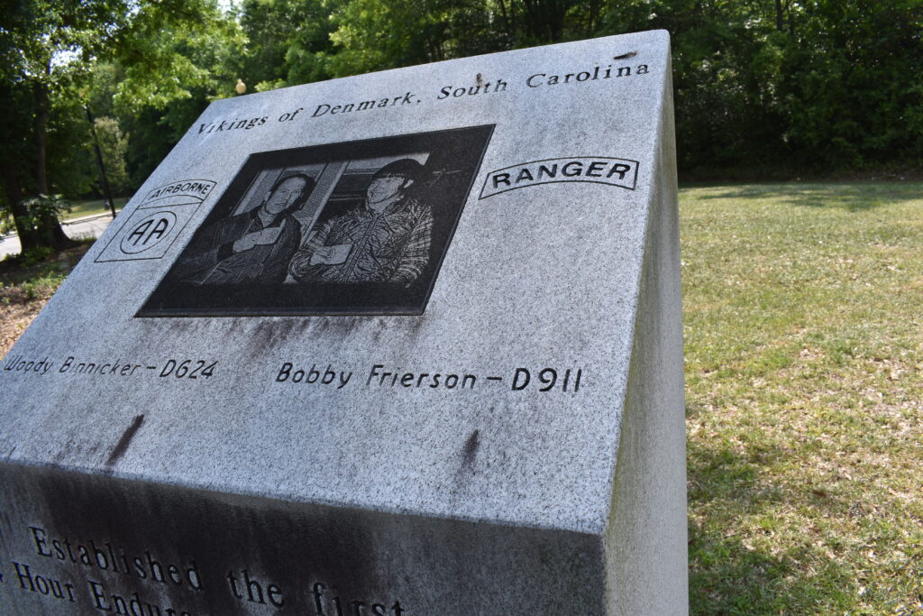
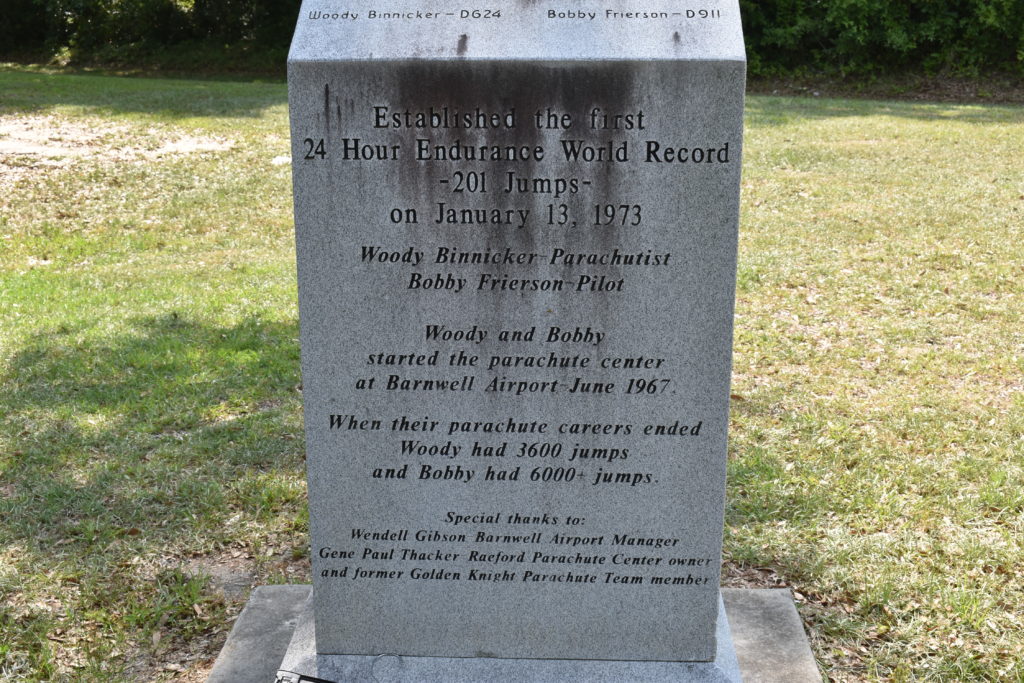
I have been fighting Arkansas all year. Every time that I think the stars are aligned for me to take a trip to hit the sites, something happens. It may be rain, tornado, health, family, something comes up.
FINALLY! Everyone is healthy. Weather is supposed to be great for over a week. No other events on the docket. LET’S RIDE!
Day 1 – Saturday, September 28
My plan for today is to try to avoid interstate. BUT, looking over the locations, interstate may be about the only way to get from point A to B to C, etc. I am loaded up for a week on the road, couple of pairs of pants, sneakers, short and long sleeved shirts (just in case it get cool), plenty or underwear and socks, and even some The Macallan (yes, “The” is part of the name). I have the Harley GPS set to just show me the road ahead and the Garmin set with the locations to visit. I have the thumb-drive set with music. I am ready to go!
I have two gas stations that I use as starting points, today I chose the Circle K in Muscle Shoals. It isn’t going to take much gas, I just wanted to make sure I start with a full tank. Spot tracking is set and I am rolling at 7:50am!
I head out one of my preferred routes heading to Memphis (US72 from Tuscumbia to Memphis, then head to I-40). I should be able to get through town before people start getting out and about. University of Memphis hosted Navy in football on Thursday night, so no football traffic to worry about. I cruise through Memphis with little traffic about 10:00am. Do an obligatory wave as I pass near dad’s house. First gas stop is in Forrest City, AR about 11:00am. People are already lined up for lunch at the chicken place. Getting ready for the games today.
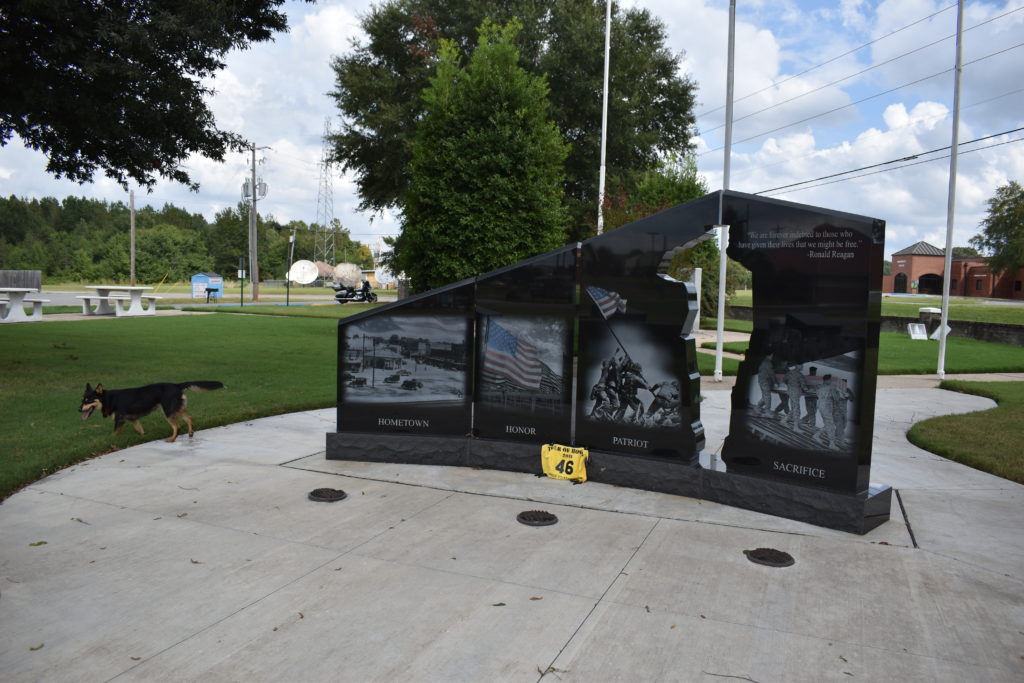
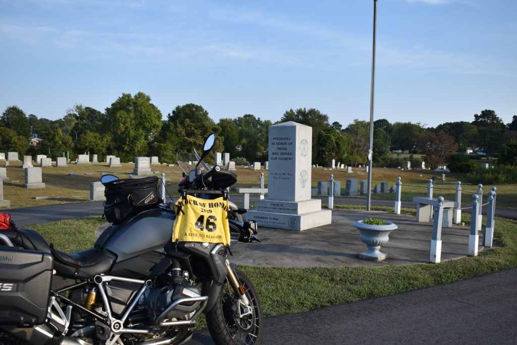
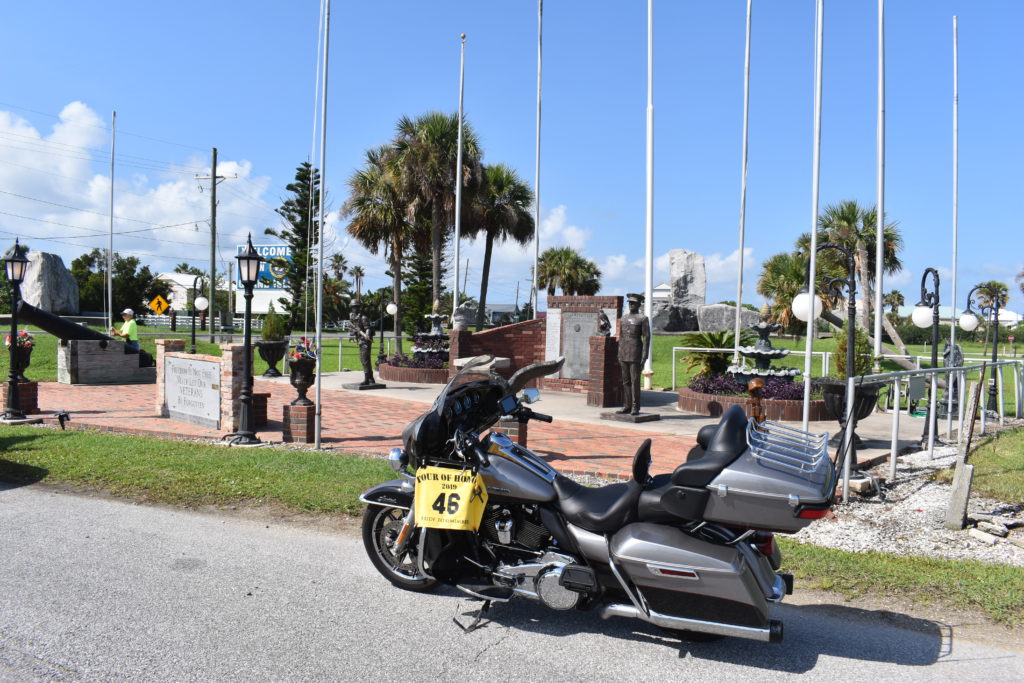
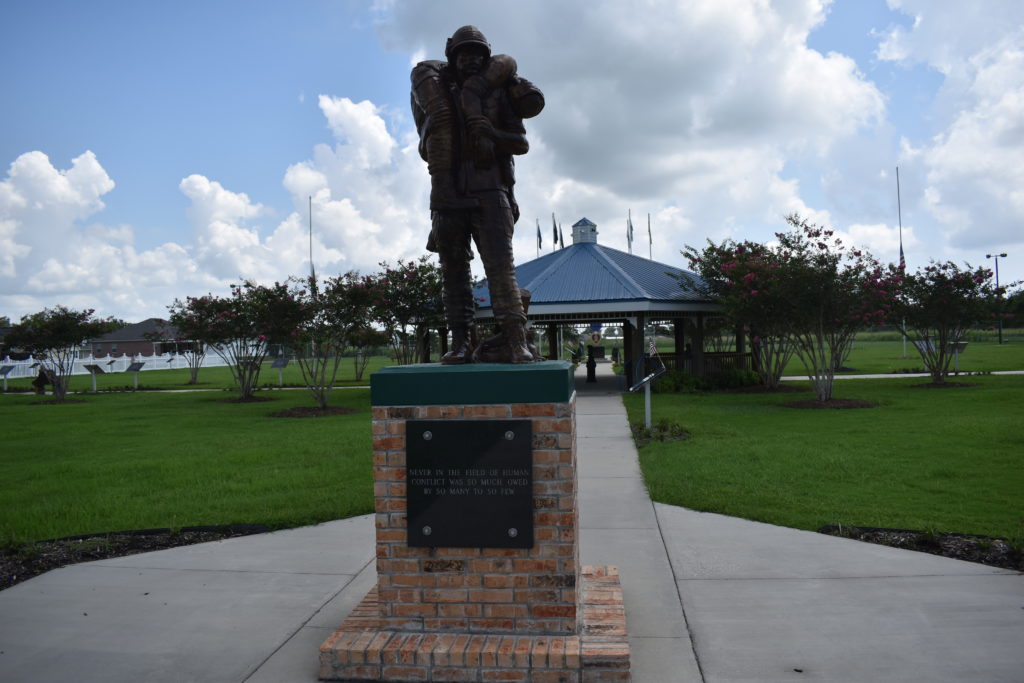
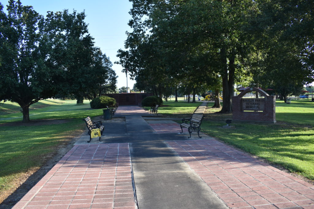
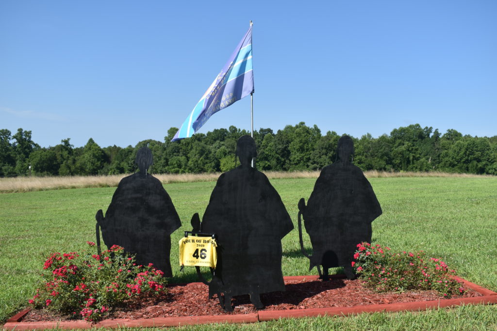
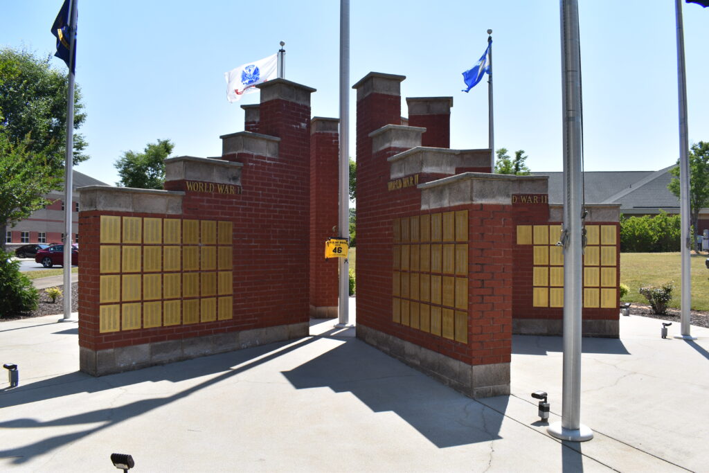
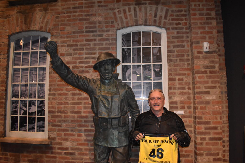
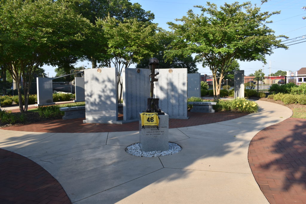
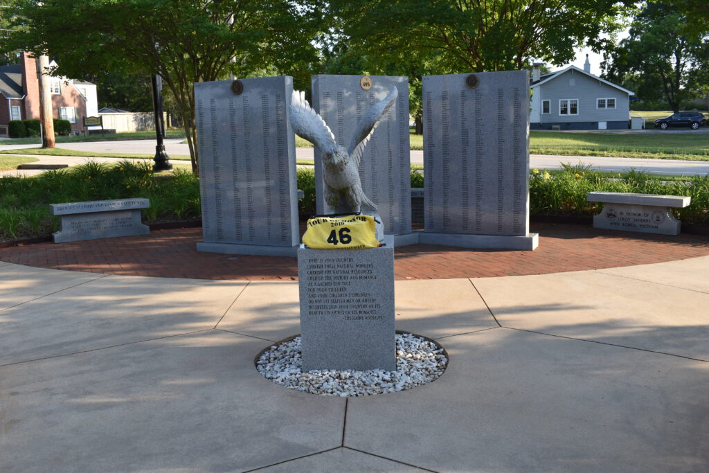
Back on I-40 until I see the exit for England. This road is about as straight and level as you could imagine. I can almost see the turn about 6 or 7 miles ahead. Farm land one either side that has recently been harvested, maybe even getting it ready for a fall crop. I pull into England as the morning Farmer’s Market is closing up. The memorial is a little bit from the road, but the parking lot is still blocked with other morning events. I park on the road and get my picture.
Next stop is the Gold Star Family Memorial in Beebe. I backtrack a short bit, then stay straight on US165 until I get to I440 around Little Rock. The pace of what little traffic is picking up as I make my way around town and north on US167. The GPS has a saved POI (Point of Interest) that indicates there is a helicopter close to the road. Knowing that I will be heading back this same route after Beebe, I try to see how close it really is to the road. Between visual inspection and the map on the GPS, too far to try to visit this trip. I have over 30 helicopter visits this year, and my focus this trip is Arkansas Tour of Honor sites and Gold Star Memorial sites. If another optional site pops up and is along the route, I may stop.
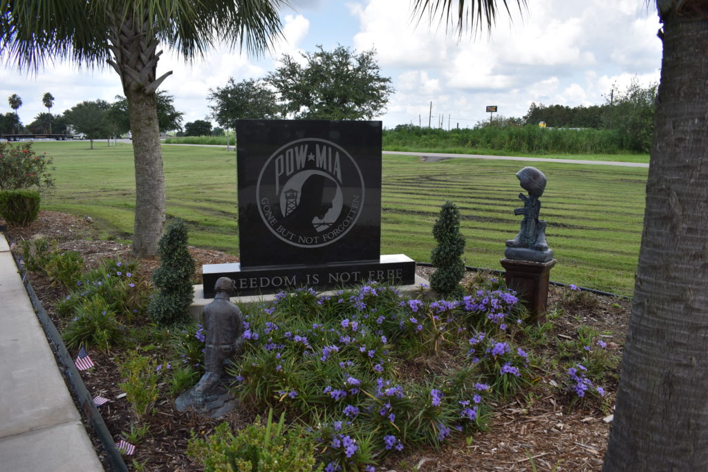
I pull into the parking lot at the Beebe, AR Gold Star Family Memorial. There is only five of six parking spots, two of which are marked for Handicap. There is a minivan parked at the spot closest to the memorial, so I work to get an angle to avoid it in my picture. As I am getting set, a gentleman and his wife come out from the gas station across the street. We chat about the my rides, the Tour of Honor, and the Gold Star Family Memorials. He tells me that a new Gold Star Family Memorial was dedicated this morning in Little Rock, on the west side of the state Capitol. He had been was part of the dedication team, hence his kilt (I told him I wasn’t going to judge whether it was a kilt or s skirt, his wife agreed that she never knows which it is since she has a skirt that looks jut like his kilt). He gives me directions and a copy of the presentation booklet. I get my pictures and make my way back to Little Rock.
Downtown Little Rock is a neat place. They are working to revitalize the area and park along the river. Put in music venues and eating places. Having a special event nearby, the parking is very limited. I can see the memorial, but can’t get there from here. I make another loop through town, trying t find a way into the parking lot, navigating one-way streets, streets closed for special events, and cobblestone streets (at least it is dry pavement!). I eventually find the entrance to the parking lot. $20 for parking! As I dig out my wallet, I ask her if she can point me to the specific memorial. She thinks it is at the far end, if I am only going to be here for a few minutes, she tells me to go back next to her truck. I graciously accept the offer and save my $20. I get my camera and rally flag then head to the memorial. I find it and get a picture. Now to get a picture, even from a distance with the bike. I find an area that should work and make my way back to the bike. I ride over to the spot I scoped out, get a picture and ready to head out. As I get ready to leave, the lady at the parking booth asks if I found everything. “Yes ma’am, oh do you know the quickest way to get to the new Gold Star Family Memorial?” She gives me great directions and I am off to my next site.
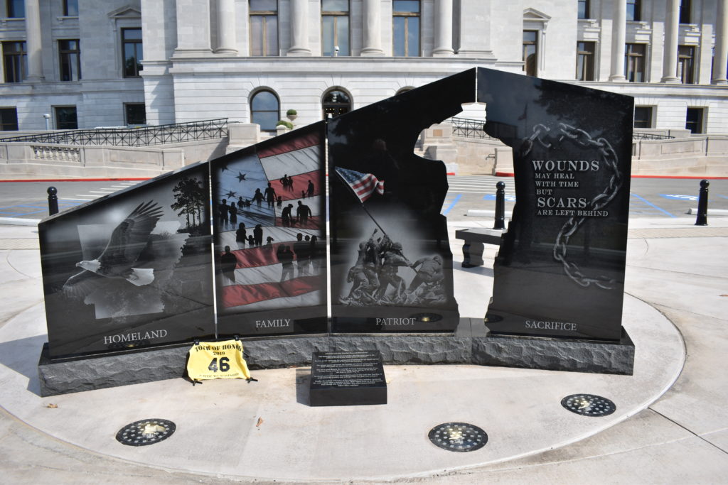
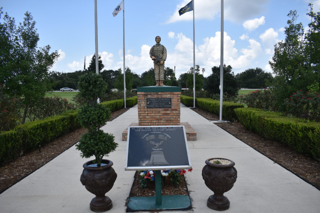
I enter the state Capitol from the east and work to find my way around. I don’t have a clue where on the west side to find the memorial, but I keep looking. I see a Capitol Police vehicle and head to ask questions, but it is empty. I start on around the building, then I see it. The memorial is right outside the building. No parking there, and the driveway is closed to traffic. I find a parking spot at the bottom of the hill. I work to get some pictures from below and at the memorial.
My goal is to get to Conway, AR for the night. As I approach Conway, it is only 3:30pm. Sun is still out and I still have plenty of energy. If I make it to Fort Smith tonight, that is two hours less on the back-end. After today, I will not spend much time on interstates. I decide to head on to Fort Smith which is only two hours down the road.
I approach Fort Smith and see a sign for Sleep Inn. I take the exit and follow the signs. I find the hotel, but there are no places to eat within walking distance. Closest place is about a mile back toward the interstate where I just passed. I check in and get settled in. I pull out my maps and laptop to look over where I will be heading tomorrow. The Tour of Honor site for Fort Smith isn’t near the interstate and would require some back tracking. I check the on-line maps and decide that since I need to go out to get something to eat, I might as well go ahead and visit downtown Fort Smith.
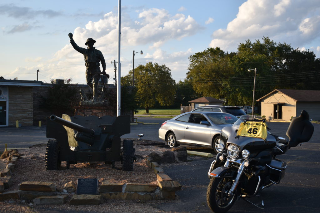
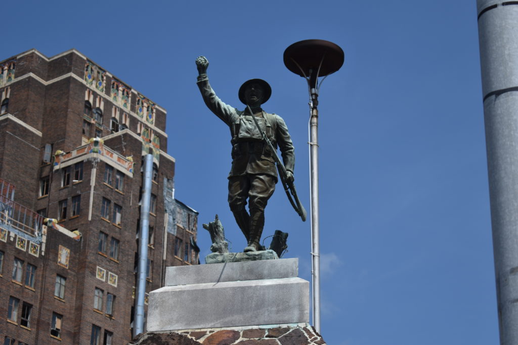
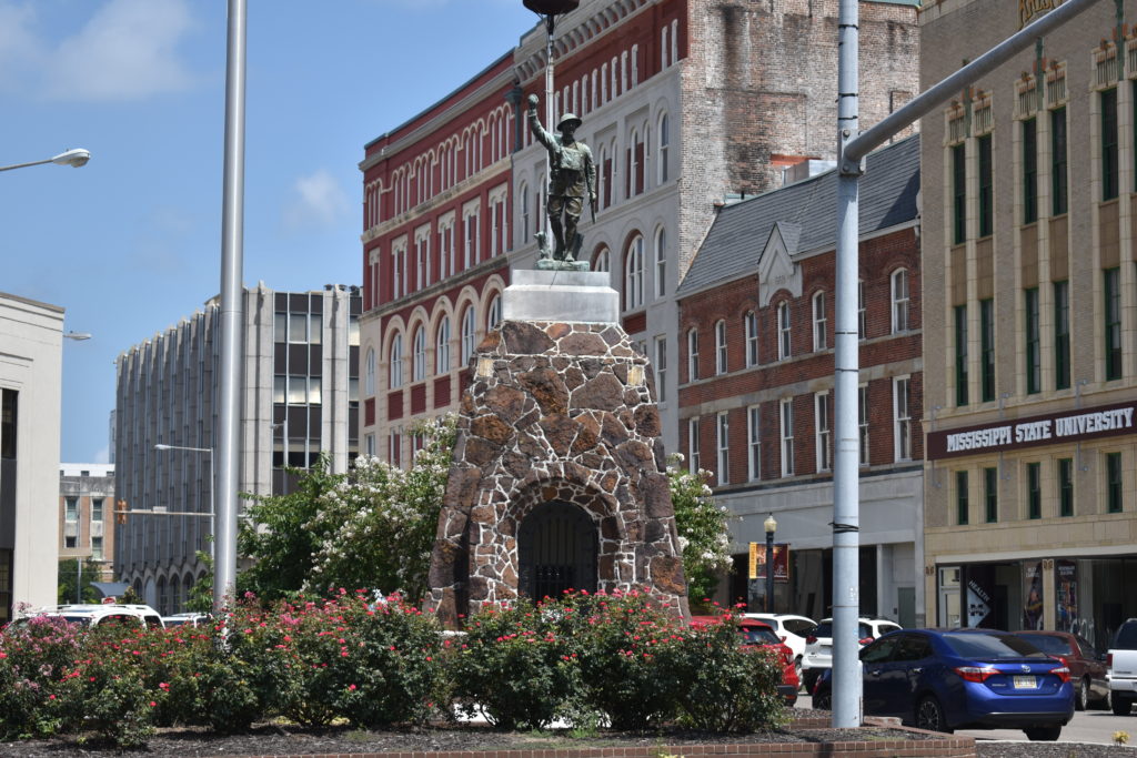
I head out on the bike through the neighborhoods. I eventually find my way to the main street and the GPS tells me that the target site is straight ahead a few miles. I soon see the county fair has been set up on my left. I stop at the light and look around. There is a Doughboy on my right! I see that part of the parking lot is roped off, so I scan for an entrance. Just as the light changes, I see a way in!
I pull into the parking lot and work my way past a parked car next to the Doughboy. I come in at an angle that will have me taking a picture right into the setting sun. I maneuver the bike around. Suddenly, I realize I have leaned the bike too far to the right and it is going over. Before I can do anything, it is down, and it is on me! My foot is caught under the bike and the pain is excruciating! I can’t pull myself free.
There are a three people manning the parking lot and I call for help. They come running and pull the bike up. I get up, but my foot hurt, BAD! I get the helmet off and walk around for a few minutes. The bike still isn’t where I want it, but this will have to do. I get the picture and calm my nerves. I check that the bike is ok, not a scratch it.
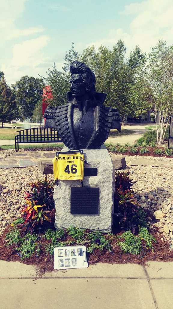
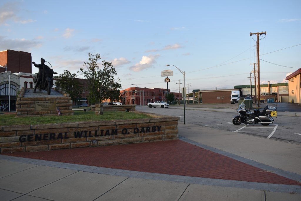
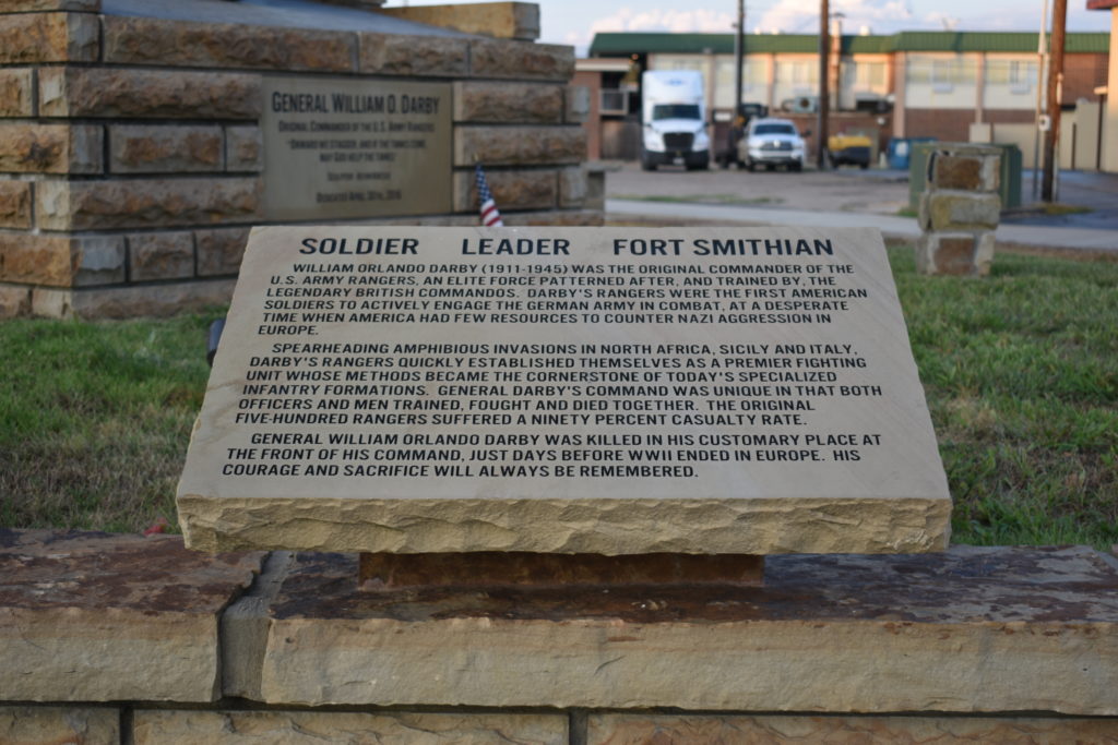
I head back on track to the Fort Smith Tour of Honor site. Downtown Fort Smith, one way streets, I want to go the other way. With no traffic, I manage to get to a parking spot next to the memorial. This is dedicated to General Darby, a real “bad-ass biker.” I get few pictures and decide to call it a day.
I don’t want to go back on the street I came on, so I take a route that has me crossing the river into Oklahoma and riding back up to I-40. I ride back to the exit near the hotel and pull into a place to eat. First place is only open for drive through, no, they will not allow me to walk to the drive through, I must DRIVE to the window. No inside service since they are remodeling. I decide to try the Mexican place a few buildings down. I really wanted a margarita, but not if I still have to ride the bike to the hotel. Even if it is only a mile or two.
After supper, I make my way back to the hotel. Foot still hurts. It hurts to put any pressure on the foot, so I just brace myself with the heel and limp to the room. The lady at the front desk notices me limping and asks if I am ok. I tell her what happened and she offers to call an ambulance to get me to the hospital and have my foot checked out. It hurts, but I should be fine in the morning.
Back in the room I start planning my route for tomorrow. I call home to tell my bride about my adventure. She wants me to just come on home tomorrow. I tell her that if the foot bruises overnight or swells, I’ll make the decision in the morning. I get a bag of ice and pack my foot for the night. I hurt too bad to even open up the scotch!
Day 2 – Sunday, September 29
Oddly enough, I did manage to get some decent sleep. Yes, the foot still hurts. Trying to limp to the bathroom is a challenge barefoot. I look over the various options. I could finish the remaining two site in Arkansas and head home, about 700 miles and 12 hours, or more. Or I could head straight home, 500 miles and 7 hours.
I pack everything, get dressed, and carry everything out. My foot hurts! I carry everything in one trip so I don’t have to go back up to the room. I get a light breakfast in the hotel before heading out.
All loaded, about a half tank of gas, sore foot. Do I tackle the last two sites or head home? A quick calculation leads me that I will need two gas stops if I head straight home. I make the turn onto the interstate at 7:15am. I am headed straight home.
Two gas stops and 500 miles later, I will into the driveway at 1:30pm. I pull the bike straight into the garage and park it. I shed my gear and head in to take off my boot and get my foot back on ice.
Day 3 – Monday, September 30
I got up early and my bride had me at the doctor’s office when they opened. We had a pair of crutches left over from her knee surgeries and I quickly adjusted them to fit me.
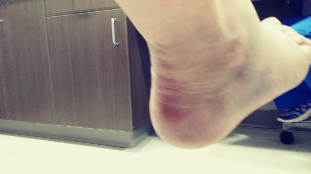
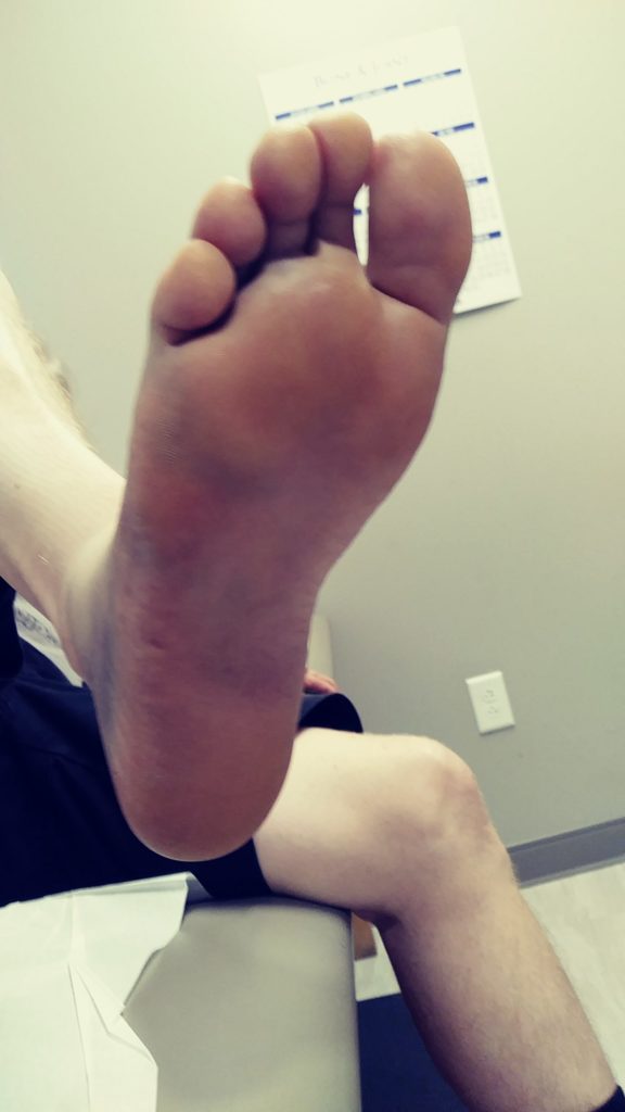
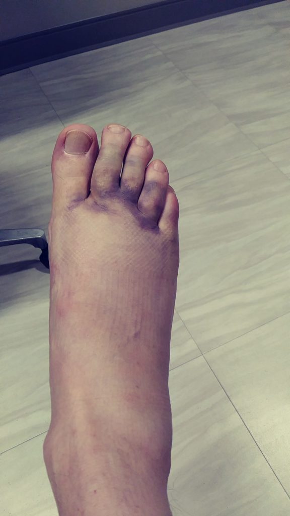
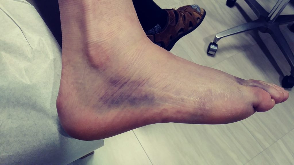
A short wait, a couple of X-rays, and a quick review by the doctor gets me a referral to the orthopedic center for further evaluation. I look at the X-rays with the doctor and he says he thinks I broke a bone, but he wants the orthopedic center to review and they have the equipment and supplies to deal with my foot. Great, that will hamper my riding for a few weeks. (As for the pictures, the colors had not fully developed when these were taken. It REALLy got colorful a few days later, and the foot was even more swollen.)
At the orthopedic center that afternoon I have a few more X-rays taken. Doctor comes in and asks how I am feeling. Pain has subsided, mainly sore unless I try to stand or walk on the foot. I jokingly say “I guess I broke a bone, huh?” “Nope, you broke two!” I get a walking boot, instructions on dealing with crutches and the walking boot. Crutches for two weeks, walking boot for at least another week, go back in three weeks to evaluated how it is healing.
Post ride review:
2 Tour of Honor sites;
2 Gold Star Family Memorials;
1 Doughboy; and
2 broken bones in the foot.
[Post-script: The three week follow-up gave me some good news and not to good news. The three breaks are healing well (yes, THREE, in the follow-up X-rays they saw that one of the bones I had broken was actually broken in two places, one at each end). The extra break was the reason that I was having more pain that expected, especially when twisting the foot. Three more weeks with the walking boot, no bike for a while, that includes the Spyder! I will not be finishing Arkansas this year. Once again, Arkansas beat me this year. I WILL get Arkansas next year.]
I know I only have three days to get to Fort Monroe and back. This is going to be a fast run with little time to spare along the way. I will have to pace myself at almost 600 miles each day. Hey, I have done a couple of Iron Butt rides, how hard can this be, right?
I gas up at my usual place and head out through St. Florian, then to US43. I make a quick decision to hop on US64 over to I-65. The goal for today is to get at least to Princeton, WV. I have stayed here a few times on various trips. If I get there early enough, maybe I’ll try to get closer to Blacksburg, but I will have to check to see if Virginia Tech is playing at home before I try to get a hotel in that area.
I-65 is a quick ride to I-840 around Nashville. Soon I am on I-40. Not that I-40 is really that boring, there are spots that are beautiful, but when the focus is to get miles behind you, enjoying the scenery isn’t a high priority. I keep close to the speed limit, getting stopped won’t help. Once I get to Knoxville, I just keep up with traffic and try not to get run over. Once past Knoxville and head north on I-81. I have set the GPS to get me to Haysi as quickly as possible, and the route (and ETA) keep changing due to various happenings that the system knows about before I do. Expecting to exit I-81 before Johnson City, TN and take back roads, I as surprised when it has me staying on I-81 until Abingdon, VA.
I exit at Abingdon, these roads are so familiar. Many a baseball and softball tournament in this area. Staying in Abingdon and making the drive/ride to Pound, Clintwood, Norton, and Honaker, these roads bring back great memories. Memories of games, memories of fellow umpires who many know simply by their first name (some may need the initial of their last name to differentiate them from others.) Names like Boots, Frog, Jack (“I don’t need the microphone” as he booms in that deep voice), Joe (rest in peace my friend), Bob Huff (it always Bob Huff, like it was his first name), Darryl, Bill and Mary, and Tommy, and countless other umpires with whom I have shared the field.
The ride to Honaker is like second nature. So automatic that I almost turn to the high school to head to the field. My track today is on down the road. I pass through downtown Honaker and see that Farmer’s Table is still in town behind the Chevy place. The owner has a farm, most of the food he serves was raised on his farm, vegetables, beef, and pork all were from his farm. Not only was the food great, where else can you feed a dozen hungry umpires for breakfast or lunch for about $50?
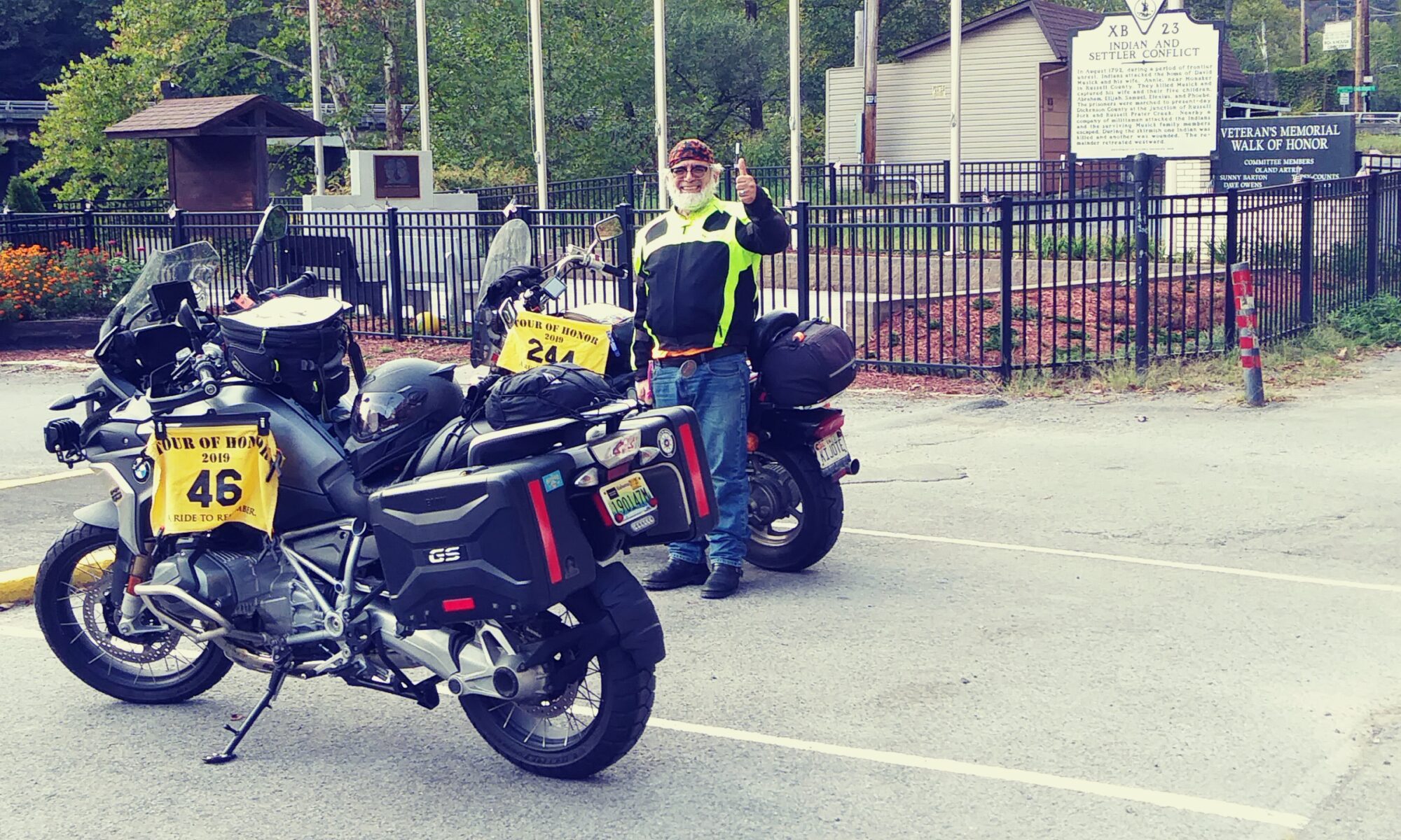
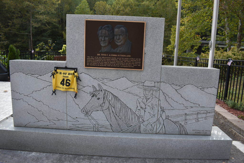
Leaving Honaker I see the signs for “The Crooked Road,” Virginia’s music heritage route. We have ridden most of this route either in the car or the bike. This last section to Haysi will be a new road for me. Afternoon sun shines through the tree as I make my way through the winding roads. I pull into Haysi and notice another motorcycle in the parking next to the memorial.
As I pull in, I see that the guy is putting away his flag. I introduce myself, he is Luis Diaz Diaz. We chat for a bit. He has been riding the Tour of Honor for about 10 years. The Haysi stop is his last for Virginia. We get a joint picture and I submit it so we can both get credit. We walk around the memorial and get a few better pictures. He has just left Princeton, my next stop. He says it should be about an hour and a half, he is heading home to Chester, but will lead me close to Princeton.
He is quicker than I at getting turned around. I see him make the left at the next turn and I follow at a distance. A slower moving car, and truck, managed to get between us. I have the GPS set for the stop in Princeton and only hope that he was leading me that route. But it says that it will be about two and a half hours, he said an hour and a half. I have lost sight of him, so I am on my own. I make a few turns onto back roads, thinking he might have taken another route. No traffic, sun going down, I enjoy these twisty roads. The GPS says the speed limit is 55, but I thought I saw a sign a few miles back that said 35, or was it 45? Maybe I missed the one that said 55. A few miles later I see Luis behind a truck ahead of me. I catch him just before we get to the divided four lane road. We ride together for a while. Eventually, we find a stop light and pull side by side. He apologizes that his timing was off, he said to continue straight for a while and I will go right into Princeton. He will be turning at the night turn off and heading home. The sun is starting to set and he had hoped to get home before dark, he isn’t going to make it before dark.
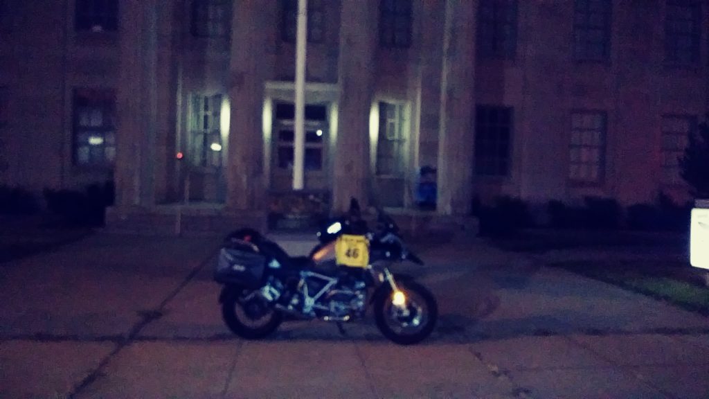
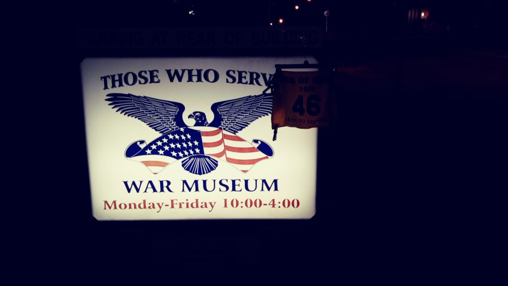
The GPS leads me to the memorial. I see a tank in front of a building and make the turn onto the side street. I pull out my sheet with pictures and notice that the tank is not the memorial. I do some checking and realize that I need to get a picture of the front of the museum with the bike. Road construction makes parking on the street dangerous since is has been grated for a new surface and traffic is moving pretty quickly through here. I look around and decide that my only option is to ride on the sidewalk. The sign is backlit and the flash on the phone gives me problems getting the picture I want. I have to take several pictures to get some to submit.
It is dark and I don’t want to ride any later this evening. I hunt for a hotel near a place to eat. I get my reservation, put the location in the GPS, and head out.
As I get close to the hotel, it starts raining. At first I thought it was water in the road from a recent rain. Yeah, recent as in currently raining! Not hard rain, but more than a drizzle. I switch the ride mode to “RAIN” and slow down. I make it to the hotel, passing a diner a block away. I get checked into the room then walk to the diner for supper.
Ever try to travel and eat out when on a seriously restricted diet, I am trying to stay close to a Keto diet (this is NOT the time or place to tell me your thoughts on it). If you don’t know about the Keto diet, I don’t eat carbohydrates (pasta, potatoes, rice, and breads). This means no cereals, waffles, or pancakes for breakfast. For lunch and supper, it means burgers and sandwiches are not an option. (Yes, I know that there are exceptions, but again, this is not the time or place for that discussion!)
The special tonight is two hog dogs and fires (or other side of your choice). The waitress really talks it up as I continue looking over the menu. The owner comes over and starts talking it up too. I can order it with any fixing that I want, chili, slaw, cheese, etc. I got it! I’ll have the special, hold the buns, with chili, cheese, slaw, and a side of bacon, with a glass of water. The waitress wrote it down, read it back to make sure she got it right, and quickly retrieved a glass of water (a refill actually). The really nice thing about a diner is that many times the cook is right next to the booth or counter. He turns to me and makes sure he has it right. He puts a bed of chili on the plate, two hot dogs, another layer of chili, a blanket of cheese, with the slaw and bacon on either side of the plate. I don’t like to take pictures of my food so I didn’t even think about a picture until I was almost finished. It was a work of art! Both visual and culinary art!
I finish supper, pay the bill, leave the tip, and head back to the hotel. Rain has stopped, but I had my rain jacket on since it also is highly reflective. The block between the hotel and the diner didn’t have enough light, nor a sidewalk, so I wanted to make sure I could be seen. I get back to the hotel to relax, turn on the TV to see which teams are on TV, and plan my ride for tomorrow.
Day 2 – Sunday, September 22
I rarely sleep well on trips and usually wake up early, so I don’t set the alarm. I wake up, glace at the clock, and notice “7:00.” WHAT?!?! I am usually on the road by 7:00am. I check my phone to make sure that the clock is correct. Yep, it is 7:00am!
No need to rush, I will just adjust and delete a few optional stops, such as the National Parks. I know that I won’t be able to get the minimum for the award, so I will forego them. I make a quick update to the route and reload the GPS. This delay will allow me to stop for church along the way.
I don’t need gas yet, so I take off. I hit US460, another familiar road. This heads into Blacksburg, fast roads through the mountains. As I pass through Blacksburg, I think about riding past Patrick’s old house, but decide to pass. I fill up the tank in Christiansburg before hitting I-81. I-81 to the Troutville/Cloverdale exit.
If I remember correctly, there is a church on the route that starts at 10:00. It is just past 9:30, I’ll be a little early, but that is ok. I park the bike make my way in. This is the first time I have not brought a shirt other than a t-shirt. I walk in and meet a few gentlemen in the foyer. They tell me that Sunday School is just starting. I asked if I missed the service. They tell me that church service starts at 10:30. I can’t walk out, that would really look bad. I feel that God has a reason for me getting off schedule.
After church, I chat with a few people, telling them about my adventures. They tell me that they are looking for a new preacher and have a prospect coming in a few weeks. I ask about a few people that we had met on previous trips. No one knew of them. I regret I didn’t remember their names.
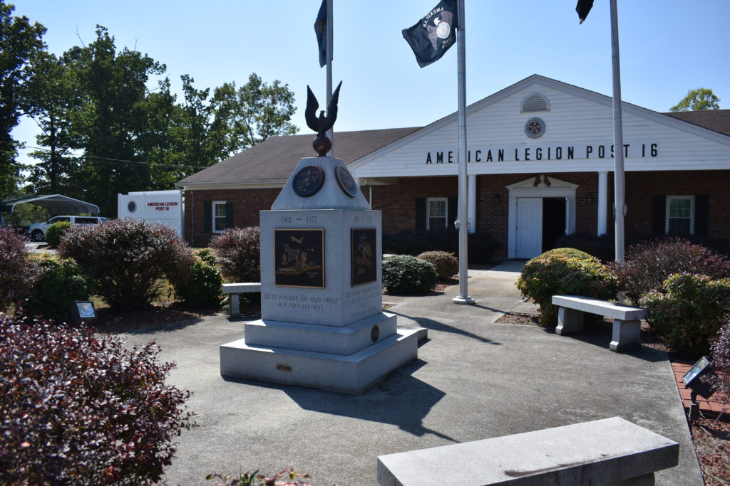
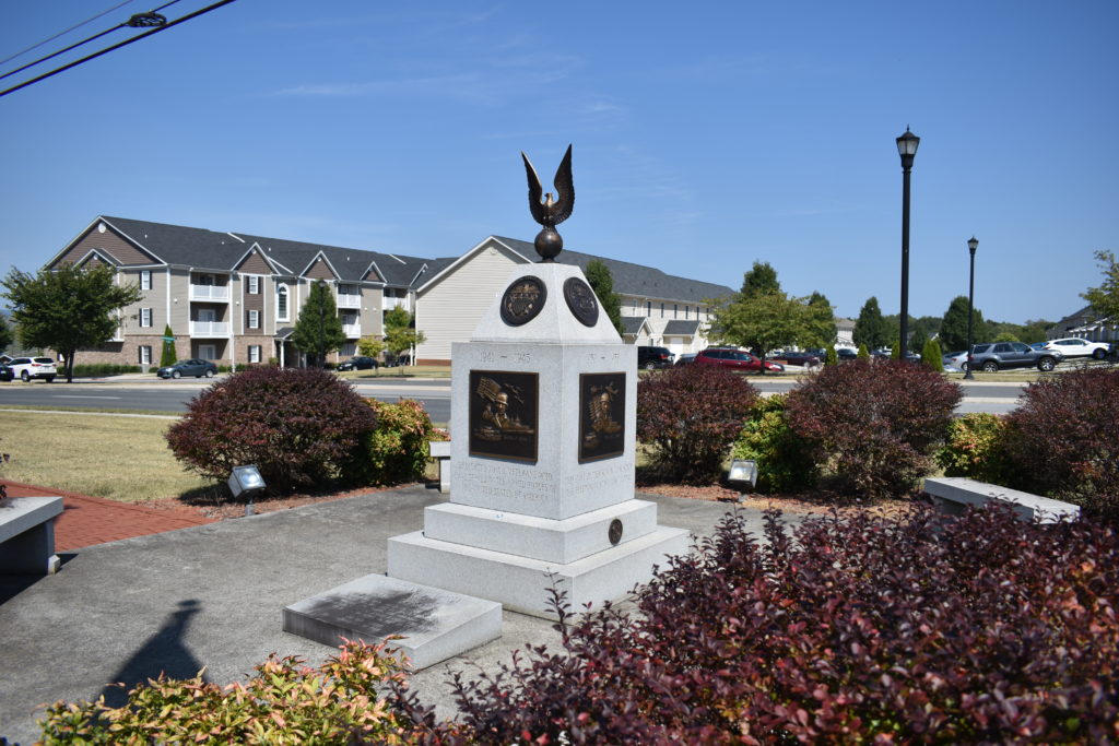
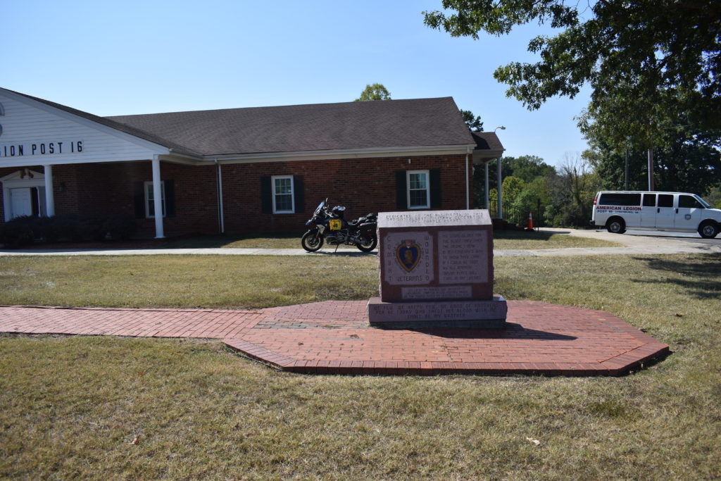
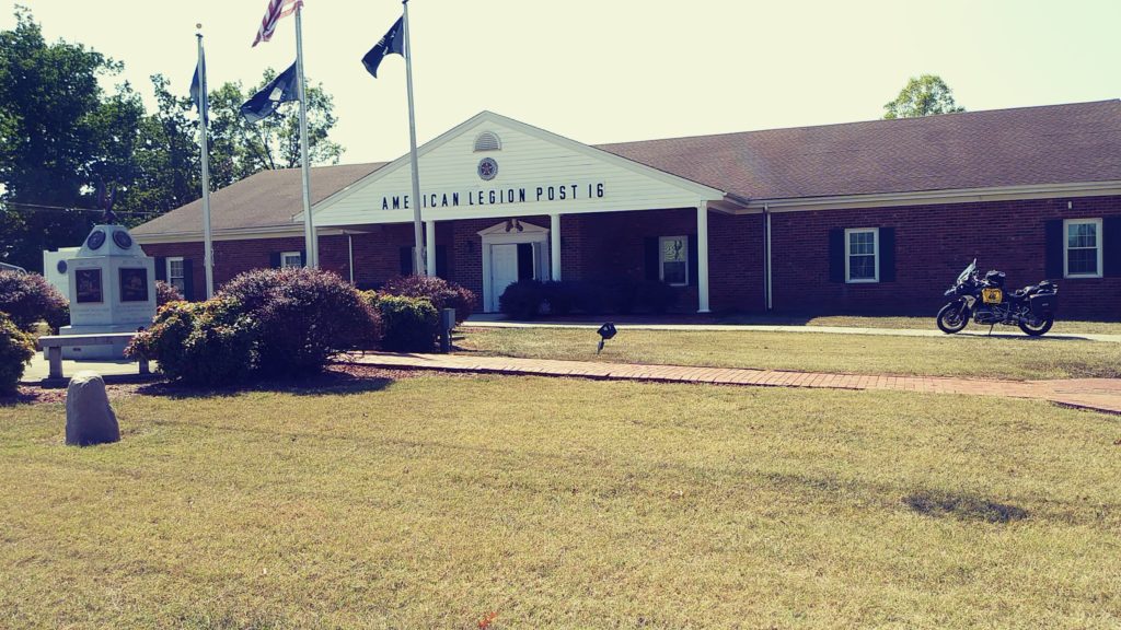
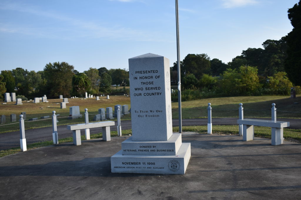
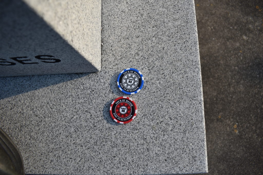
Back on the road, I head toward Lynchburg. There is a memorial and a Doughboy in town. I get to Lynchburg right at noon. I think the chapel at Liberty University has just let out, traffic is horrible! I wind my way to the American Legion. I have to park on the walkway to the front door to get a picture of the memorial with the bike in the same picture, the street is too busy for me to park the bike against the curb. I walk around and get a few pictures. I drop off one of my poker chips and get a picture of it next to someone elses’s poker chip. Time to head to downtown to the historic district.
Road closures, cobblestones, and pedestrian traffic all make maneuvering a challenge. I make a left and see that the doughboy is at the end of this street, at the top of the hill. The intersection is a bit steep, but I plan my moves carefully. It is a one way street heading to my left. I enter the intersection from the far right of the lane and sweep across the 3 lanes to get to the far curb. I wrangle the bike to an angle for picture with the doughboy. Next stop: King George, VA
Spending 30 years living in Virginia, the last 10 travelling the state via motorcycle or geocaching, so many roads are familiar. Every now and then I run into a road that I don’t remember. A Sunday afternoon in late summer, this means people are leaving Lake Anna to head back to Northern Virginia. And they are dragging their boats from the lake either home or to a nearby marina. The roads I was hoping to make up some time on has slowed me down even more. I make my way through Spotsylvania and Fredericksburg, crossing I-95. Bumper to bumper traffic for an hour. Traffic eases up once I cross I-95. Time for gas.
I don’t usually write about the gas stops, but this was special. I pull to the pump and go inside to pre-pay. I come back out and start pumping gas into the bike. Unlike the car where you can set the pump handle to pump without holding it, I keep a close hold on the handle when filling up the bikes. I keep a watch on the pump since overfilling the tank means spilling gas! As I am filling up, I smell gas. This is normal, it is a gas station, but this is a bit strong. I look down and see that the hose is leaking gas on my pants and boots! I stop pumping and the hose is still leaking so I turn off the pump. I notice that the hose has tape on it, so this isn’t the first time it has leaked. I go inside and pay for my gas and explain to the guy at the desk that he needs to block off that pump. I tell him I am going to get a drink and I’ll leave my bike there so no one tries to use the pump. When I go back out, the guy has put a bag over the pump handles, put down oil dry where the gas has spilt on the ground, and taped a yellow bag to the hose where it was leaking. He tells me that it looks like the hose had been cut and someone had put tape over it, the tape had come loose and started leaking. My boots are now dry and my pants seem to be dry too.
During my years in Virginia, the area around King George has been left off my travels. A former co-worker and carpool member lived in King George, we commuted to McLean. He would meet me in Dumfries and we would carpool to the office. I take in the beautiful rolling farmland.
As I roll into the town of King George, construction crews have recently scrapped the roads for repaving here as in Princeton. I pull into the parking lot at the Courthouse and pull out my information on the memorial. I walk around to find it and assess the area for a picture. Again, another site where parking on the street is not going to happen. No one is around, so I ride the bike on the sidewalk and park behind the memorial. Pictures taken and I take off.
I work my way back to the parking lot then back onto the road. The construction only lasts a few mile miles. All those years in northern Virginia and I never spent time on these roads. There are several options to get me to Reedsville, I set the GPS to pick to fastest option. If the roads are straight and have light traffic, I might be able to pick up a few extra minutes too. I make the turn off Rt3 onto SR2o2. Fairly flat farm land with some wooded areas scattered in to keep it interesting. No traffic, I pick up the pace a little. I am close enough to the Potomac River and nearing the Chesapeake Bay, the smell of the water is in the air. Not like the salty ocean smell, and not quite the fresh mountain stream, but you can tell you are close to lots of water.
Soon I make the turn to merge onto US360. Reedsville is at the end of the road, right where the Potomac River meets the Chesapeake Bay. Quaint little town where I have only visited once or twice. We visited the Reedsville Fisherman’s Museum and the Railroad display next door. I remember that there had been a great little seafood place there (it’s on the water, would you expect anything less?)
As I near the Reedsville town limits, the GPS just signals to the right. I slow and find the entrance into the cemetery. I might be on an Adventure bike, but I don’t really care to take off on a foot path. Especially when there is a gravel road that leads to the center, which is the location of the memorial. I pull up and see that another poker chip is here. I place mine next to it and notice it is the same person’s chip as I saw in Lynchburg. I remember passing a biker a few miles back, I wonder if that was the other rider in the Tour of Honor. I get a few pictures and ready to head to my next stop.
I back track on US360, then onto SR200 to Kilmarnock where I rejoin to Rt3. Before reaching Reedville, I was seeing fewer and smaller farms. Now the major commerce is based on water and fishing. I soon cross the Rappahanock River. Soon, a few back roads eventually get me back on US17. Familiar roads again. Sun is getting low in the sky, lower than I would like. I am WAY behind schedule, and no way to make up time.
I wind my way through Gloucester, cross the York River into Yorktown, and turn onto the ramp for I-64. My plan was to avoid interstate as much as possible. Sun has set and I appreciate the new lights on the GS. Wait, they don’t seem to be working the way I want and not as bright as I expected. This hasn’t been my day. Hope tomorrow is better.
I follow the directions from the GPS to get me to Fort Monroe since this is a new place to visit. I have passed the exit several times, but never stopped. I exit the interstate and follow the GPS directions. I see barricades ahead and the GPS still telling me to go straight. Once at the barricades, I see that the road is narrowed due to an event from earlier in the day. I find the memorial and park across the street. I aim the headlights to the memorial and check that my auxiliary lights aren’t working. I get my picture and take a break to plan my move.
My original plan as to get to Danville or at least to Emporia. I also wanted to visit a Doughboy located in Suffolk. I have to make it home tomorrow (Monday) night. It is now too dark and too late to go to Suffolk and still get as far as I want for the night.
Again, I do NOT like riding on the interstate. But, there comes a time when you have to do things you don’t like. Heading west on I-64 is now the plan. Richmond is a little over an hour. I call home to give an update, at least the Spot is still tracking my route. I have reset the GPS preferences to allow interstate. My goal is to get past Richmond, or at least to an area where I will be traveling against the traffic in the morning.
I have members card for Choice Hotels. I can usually find one of their brand hotels most anywhere. From Williamsburg to I-295 around Richmond there are no Choice Hotels, actually I don’t see anything other than small hotel signs on the interstate, and they don’t appear to be close to the exit either. The GPS wants me to take the north loop of I-295 around Richmond. I take I-295 south. I cross the James River and star looking for a hotel. I pull into the Hyatt which has two restaurants next door. I get checked in. It is a few minutes before 9:00pm. I walk to the Mexican place that is in the process of closing, but after a few minutes of talking with the waitresses, the hostess “lets” me find a table. I check the price and realize it is out of my price range, and they don’t have margaritas! I politely leave before they bring water and chips. I hear the door lock behind me as I leave. The Chinese place next door only has canned beer. I walk over the Taco Bell.
Day 3 – Monday, September 23
No stops planned for today. I just want to get home. Goals for today is to get through Knoxville and Nashville without hitting traffic. Nashville isn’t too hard of a goal since I take I-840 to go around Nashville south to I-65. Knoxville is another thing, I want to get through Knoxville before 3:00pm.
My gas gauge had let me know last night that I was going to need to fill up before going too far this morning. Next to the hotel is a gas station. I roll over and fill up the bike, ready for a full day of riding. 7:30 local time, 6:30 Alabama time (CDT). This gas station is buy with people getting their morning coffee and making sure they have enough gas to fight the Richmond traffic.
I don’t want to rush, I enjoy watching some of the people. The ladies putting the final touches on their make-up before heading out. The ladies changing from their comfortable shoes to the shoes for them to make their sales calls and lobby calls in the State Capitol. Even saw one lady taking her ring off and putting it in her purse, was she wearing that same outfit when she went into the store or did she change outfits? Most of the guys appear to be blue-collar, no suits for them. I got a few looks on the bike, how dare me riding a motorcycle on a Monday, especially since I was’t headed to work!
I pretty much know the routine and route from here. I’ll have about 10 miles of slight stop and go while people leave neighborhoods heading toward the major arteries into Richmond. I’ll make a few turns, SR10 to Rt288, Rt288 to US360, US360 to US460 then to I-81. Mostly open roads with speed limits 60 to 65, but there are a few towns that will slow me down until I get to I-81. I am hoping to get past Bristol before having to stop.
I make it to Greenville, TN before my gas tank, butt, and stomach tell me I need to stop. I pull into the truck stop and see an old Army truck. Is that a Doughboy? Sure enough, one that isn’t on the initial list. I park and get a few pictures. The phone app has been updated to included this on the list!
Since I am stopped, I’ll get a quick lunch. I am still on schedule to get through Knoxville by 3:00pm. I see a sign for a “meat and 3’s”. I go in and see an IHOP. I ask about the other place and the hostess tells me that it is at the other end of the truck stop, but there is not seating over there, it is just a to-go place. I think fr a minute and decide a comfy booth at IHOP is better than a park bench. I enjoy a lunch of tilapia and spinach. I realize I have now spent too much time here.
I get back on the bike, refreshed, but now have little time to spare. GPS is telling me I should get to Knoxville about 3:00pm. So much for being past Knoxville by 3:00pm. I hit the interstate and enjoy the power that the GS has. I make the ramp onto I-40 at 2:30pm Knoxville time. This is going to be close. Traffic is light and I take advantage of it. I hit downtown Knoxville right at 3:00pm. No traffic yet and I am through town and cross the time zone from Eastern time to Central time.
I am now watching the clock. I should get to I-840 just about 4:00pm. I shouldn’t hit much, if any, traffic on I-840 since this goes far enough around town that it isn’t a major commuter route. Most of the traffic will be people getting around Nashville. I make the exit for I-65 a little before 5:00pm. Yep, traffic waiting.
I make a quick change on the GPS and set it to adjust for the traffic. It keeps switching between going through Spring Hill, Columbia, and heading on down to US64 before exiting I-65. I am in stop and go traffic when a guy comes up behind me, flashing his lights. Where am I supposed to go? He cuts to the right lane, stops there. cuts back behind me, stops there. He keeps switching lanes, but doesn’t seem to find any advantage.
Traffic finally starts thinning out, so I pull to the right lane as it clears and my “friend” now zooms past me. I set the cruise on the bike a few miles over the speed limit. in short course, I have gained on him and now I need to pass him! He waves (but doesn’t use his whole hand for some reason) as I gain on him. Then he starts to slow, but stays in the left lane. I ease to the right lane and start to pass. He speeds up. I speed up. He speeds up more, I speed up more. I slow down, he now starts to slow down to stay beside me.
Enough. I take advantage of the power of the GS. He is now a small speck in my mirrors. I reset the cruise. He eventually catches up, passes me, then cuts in front of me to take the exit at Columbia. I am not in the mood to play games, so I decide to take another exit. Several options that are all within a few minutes of each other getting me home.
I take a new option, Alt-US31. This takes me to Pulaski and US64. I make the left turn onto US31, then the right onto US64 and the left onto Minor Hill Road. Almost home. I am about an hour from home. I stop to top off the gas tank before the last 5 minutes home.
Great trip, but a few things I need to start working on. I need to spend more time off the interstate. Make sure I set an alarm clock, even when I know I will wake up early! At least I have finished Virginia. This is one state that I didn’t visit last year. Still have over a month before the end of the Tour of Honor ride. Where to go next?
Final stats for the ride:
6 Tour of Honor sites (5 in VA, 1 in WV) (I finished VA!)
It seems that last minute changes of plan are becoming a habit. I had a ride planned to visit Arkansas that would take two or three days, getting plenty of miles to have 6,000 miles before the service appointment on Wednesday. Ride would have put me a few hundred over the 6,000 mile mark, but that would be ok.
Last night, I packed the bike without the dog noticing. If he sees me packing, he gets in the way and mopes around the house. Only one night doesn’t require a lot of stuff, toiletry kit, change of clothes, and laptop. That will all fit in the BMW’s smaller bags. I have everything on the bike and ready to go.
The plan was to leave either before 4:00am or after 7:300am, this is to avoid Memphis traffic as I pass through. As I waited, something didn’t feel right. Can’t say what, but something was bothering me. I mention that maybe just a day ride would be in order. I look over some options, but none west toward Arkansas seem to be viable. Then I remember about a change in the Georgia sites.
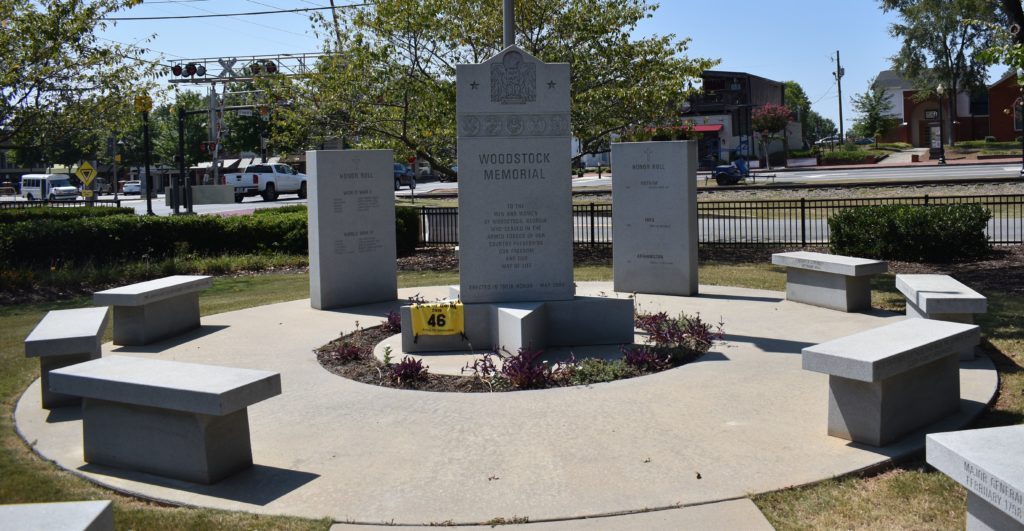
Long story short, GA3 (Forsyth) was changed to GA3 (Woodstock) a few days after the rally started. The phone app had the site in Forsyth, as did the first download of locations, which I was using for my planning. After visiting Forsyth, I was informed that I picked the wrong site. A few short e-mails back and forth, I was given credit for visiting GA3. Having visited the other 6 sites in Georgia, I did earn credit for completing the state of Georgia. I promised that I would return to Georgia and visit the site which I missed. (Refer to Ride 9 for details of the other sites in Georgia)
A quick look and I learn that Woodstock is about 200 miles from home. I have taken many of day rides of 400, 500, and even 600 miles. This would be between 450 and 500 miles given that I will not be riding in a straight line. I map out a couple of routes, all avoiding the interstate. I send a text to John in Altanta and asked if he and his wife would like to meet in Woodstock for lunch. A few texts back and forth, ends with “we’ll see what we can do.”
I remove the saddlebags from the BMW since I will be home tonight, load my required accoutrerments into the tank bag and I head out. 75 degrees and it is a little brisk as I ride through the neighborhood. I cross the river and top off the tank. The clerk makes a comment that it is a great day to ride and asked where I am headed. “Lunch near Atlanta, then back home tonight.” Her shocked look left me with a smile. I mount my trusty steed and I am on my way.
A left onto AL157, speeds up to 65mph right away. I part ways with the GPS when it tells me to take the left split toward Decatur, I opt for the right split and head toward Moulton. Before getting to Moulton, I see that there is road construction on the other lanes. I make a mental note so as to NOT come back this way. I have alternates.
After Moulton, the GPS has finished “recalculating: so I decide to change course again. I hang a right on AL-36 and head through Danville and Hartselle. The GPS knows that I am avoiding interstate, so it doesn’t suggest I hop on I-65 and it keeps me on AL-36. As I approach AL-67, I notice that the GPS is wanting me to make that right turn. I know where you are leading me, and it is sort of the direction I want to go, and I haven’t been this way in a long time. I make the right turn onto AL-67. Slow winding curves, a few hills, beautiful farm land, and the occasional skunk that didn’t make it across the road dot the scenery and heighten my senses. I make the right onto US-231, I spot a line of 18-wheelers ahead of me. They are all making the left onto US278, the same turn I need to make. Knowing that I have a mile or two to get past them before the road narrows, I don’t panic much. I make the turn and zoom past all but two of the trucks before the road narrows.
It is a slow go up the next hill, but a truck lane is ahead and I wait patiently for the trucks to take the right lane. The lead truck does, but the truck behind wants to race him up the hill. I zip into the right lane to pass one truck, then back to the left for the second truck. Open roads ahead. I soon head into Gadsden. I seldom come into Gadsden from this direction and trust the GPS to get me around town. It opts for a route through Rainbow City that I don’t remember riding. Light traffic for late morning, but not bad. I realize that my trip into Woodstock will be in Eastern time zone, I had lunch panned based on Central time zone. I send John a quick message letting him know it would be closer to 1:30-2:00 instead of 12:30-1:00 for lunch.
I am soon back on US-278. I enjoy the small towns that I pass, watching life in small towns is one of the major things I enjoy about riding the motorcycle on trips. I follow US-278 until I get to Dallas, GA, then make a right on GA-120 around Marietta, GA. The “Low Fuel” light comes on so I stop to fill up. That few minutes in the gas station adds almost 30 minutes to my travel time. As I start rolling again, I see why. It seems that all the lights are now synchronized to only let a few vehicles through at a time. The temperatures are reaching 100 degrees, and I am at a standstill. I soon make the turn onto Canton Rd and make it into Woodstock about 1:45. I quickly find the memorial. I park, take a few pictures, walk around some more, then look for a place to eat. I am getting hangry! I check my phone for any responses from John. Nothing. I’ll go eat alone.
I spot a few places in the neighborhood center a block away, so I make a short ride there. First place has two signs, one says OPEN, the other (smaller sign) says CLOSED. Lights are on, people are inside, I try my luck. I walk in , find a table and start to take off my jacket. “Sorry, but we are closed.” I put my jacket back on and suggest that they turn off the other “OPEN” sign. “Everyone knows we closed at 2:00!” I leave.
I walk across the street to my second attempt. I look over the menu on the door and quickly abandon that option. I don’t mind paying good prices for good food, but $9.00 for a side salad or fries and $27 for a burger are not in my budget. I don’t care how excellent they taste Besides, I am not in a mood for a burger.
Third attempt turns out to be a burger place, beef burger, chicken burger, turkey burger. And the buns are huge. Trying to cut back on carbs, these buns will really set me back. Nothing besides burgers and fries on the menu. And I am still not in a mood for a burger.
I walk into Pure Taqueria. Quiet place, hostess has a huge smile, and I get a table where I can spread my stuff out. I order a glass of water before even seeing the menu. I knew I should have taken Spanish at some point in my life. I politely ask my waiter if I can just get a salad, with maybe some steak or beef. He gladly obliges me and brings me a salad. It cost a bit more than I had hoped to spend for lunch, but it was fantastic. I make a call home to check on things and discuss my route home. I will try to avoid as much of the route coming as I can to go home.
I leave Woodstock and make the turn onto GA-92. I know that both Rome, GA and Mentone, AL are north of the route that I took to get to Woodstock and visiting those towns will put me a route to avoid roads ridden to get here. Soon I find myself on US-411. Though it is currently heading west, I know it will take turn to the south and cross paths with US-278 in Gadsden. In Leesburg, AL, I take the turn onto AL-68. I eventually meet up with US-431 in Guntersville. GPS says to turn left, but I take the turn to the right. I cross the Tennessee River and speeds jump to 65mph. I enjoy the break from the slower speeds and the chance to get past some slower cars. GPS constantly is telling me to turn at various places, then “recalculating” appears. I know where I am and how to get home, but I do like the GPS giving me an estimated time to get home.
I continue on US-431 until I get to New Hope, AL. I make the left turn onto Old US-431 then make the curve onto Hobbs Island Road. This is a stretch where I actually did the test ride on the BMW. Sun is shining directly into my face, at least I am going against most of the traffic leaving Huntsville. Hobbs Island Road ends at US-231. The GPS tells me to make the right turn, but I have other thoughts and turn left. (If you haven’t figured out by now, I’ll let you in on a little secret: I don’t follow directions very well.) GPS offers a few suggestions, followed by the obligatory “recalculating” until I turn onto AL-36. I know the roads I like from here, even if the GPS doesn’t agree with me. I stay on AL-36 through Danville, making the right turn only AL-157 and heading to Moulton. As I reach Moulton, the “Low Fuel” light comes on. I could make it home, but it would really be close. I decide to stop for gas at Wally-World.
As I stop the bike, the phone rings. I put it on speaker since the headset isn’t working right. The bride asks about supper and what time she can expect me. She reminds me of the left over steak, that works! As for the time, GPS says 7:45pm.
Gassed up and I turn back onto AL-157. AS I leave Moulton, I remember the road construction. Not a problem, I love AL-33 and the ride to Courtland. As I near Courtland, I take the turn to go through the old part of town. I pass a place where we enjoyed eating that had a WWII theme. It has since been sold and the theme is gone. I pull up to AL-20 and wait for the light. One thing to remember, many motorcycle are not picked up by the road sensors. I wait for 5 minutes at the red light. The traffic coming toward me gets a green light a couple of times, but I get left out. I see that there is no traffic coming, so I cross AL-20 and take off on CR-150. This leads through farms, straight, flat roads, but highly monitored by local Constables and Highway Patrol since the speed limit is a nice low 45mph. Ahead I see the remnants of the paper plant. Last trip through here there were some of the major buildings still up, but I had heard almost all were taken down a few weeks ago. I see that only the skeleton of two buildings are left. I zip on past as the sun starts to set. I make my turn onto CR-314. A few miles takes me to the left turn onto AL-101 then a right onto AL-184.
I almost wish that there was a place to stop to take a picture of this sunset. Rays of red, orange, and yellow break up the evening blue sky. A couple of clouds have joined it to add some shadows, but these aren’t rain clouds, just pretty wispy clouds that add dimension to the scene. WOW, this is beautiful.
Soon, the sun has passed the horizon and I appreciate my adventure lights. Boy are they bright, even on low! I keep watch for deer in the farmland as I approach Muscle Shoals. I make the right only Wilson Dam Road and will soon be pulling into the driveway.
I hit the drive at 7:45pm as my bride is coming out to water the plants. She opens the french doors for me to pull the bike into the garage. 493 miles, not bad for one day. The memorial visit doesn’t give me any extra points, but it does give me personal satisfaction knowing that I really did visit all the official sites in Georgia.
The weather had stalled my plans to leave this past Saturday or Sunday to tackle both Arkansas and Louisiana. It as looking like I wouldn’t get a chance to ride until Wednesday late or Thursday. As Monday was coming to an end, the weather was looking pretty decent. A few patches where I might get wet, but the rain seemed to be spotty. I did a quick plan and got everything loaded to leave today after voting and when my bride took her aunt and the puppy out.
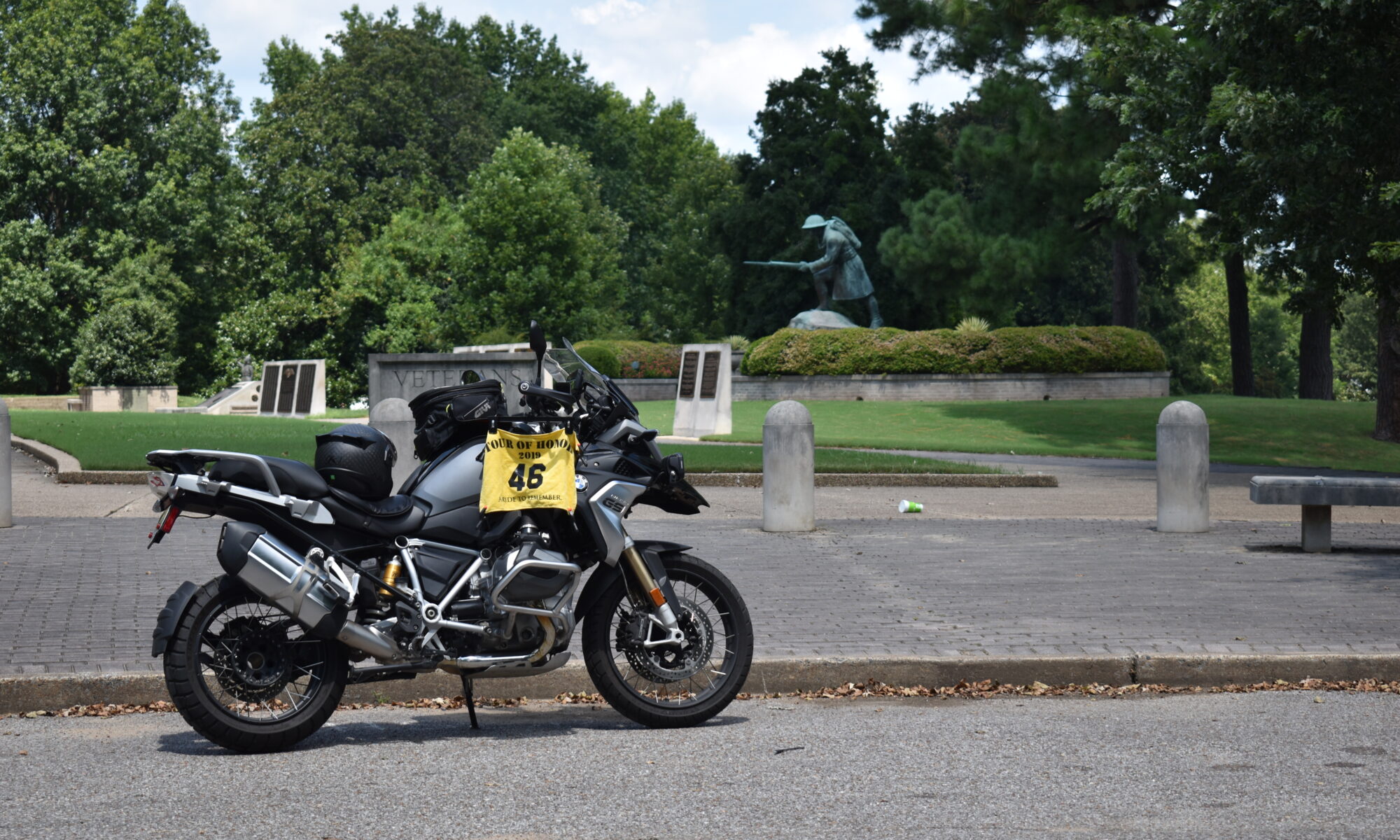
The goal for today was to get to Baton Rouge, the farther past there would make the rest of the trip easier and give me more time to sight-see along the way. But my first site was in Meridian, MS to visit a Doughboy. I left Florence and headed south through Muscle Shoals and Tuscumbia, down through Russelville. Following familiar back roads through Hamilton, Sulligent, and Vernon, I wind my way to Columbus. From Columbus, I hit US-45 and head to Meridian. I find my way to the Doughboy and can only park behind for a picture of the bike and the statue. I get that picture and walk around to get a few more. Then I am back on the road.
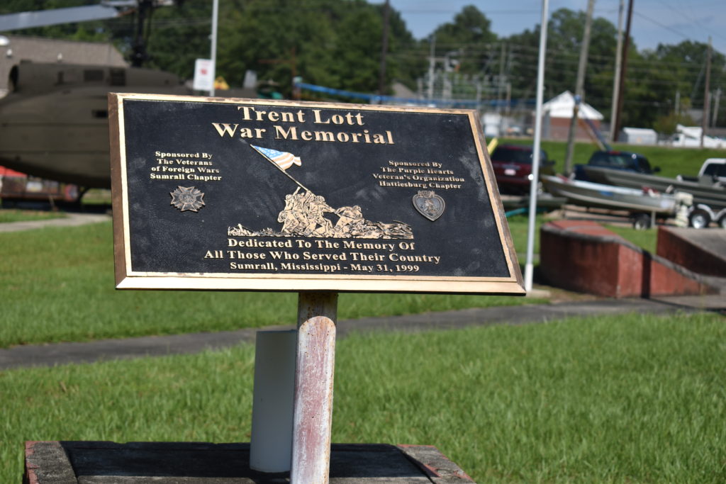
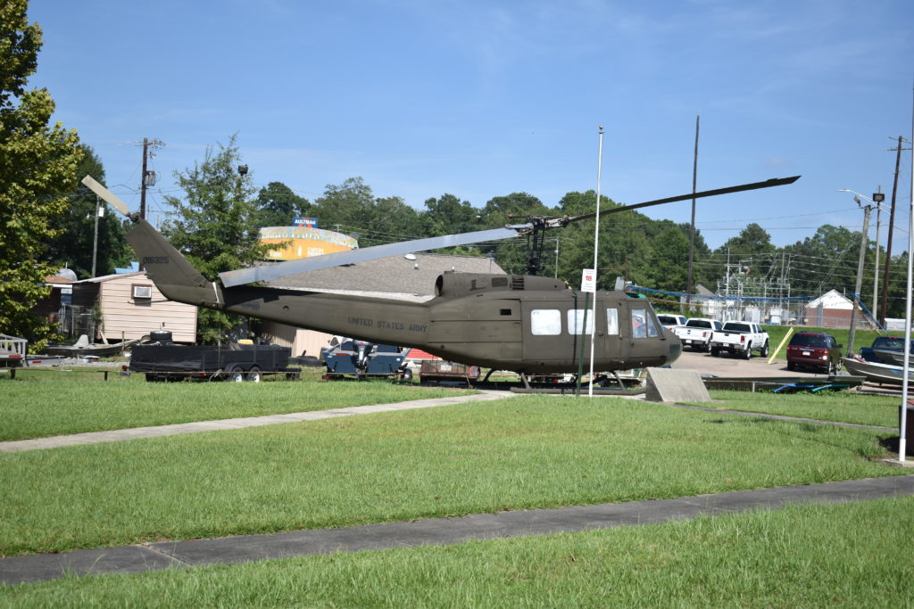
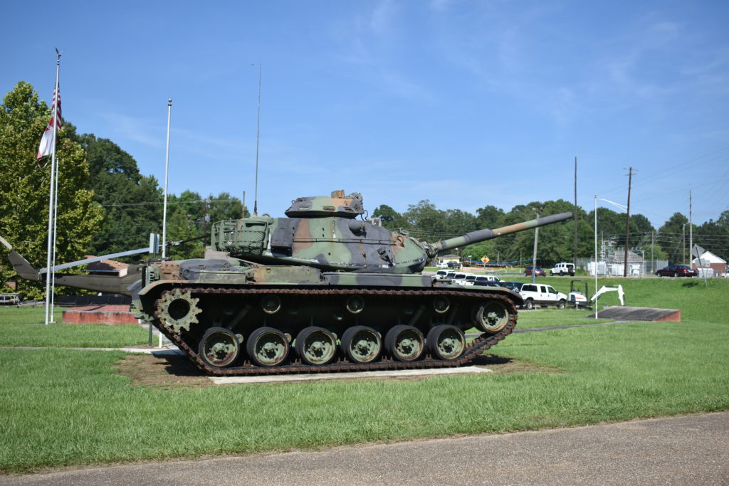
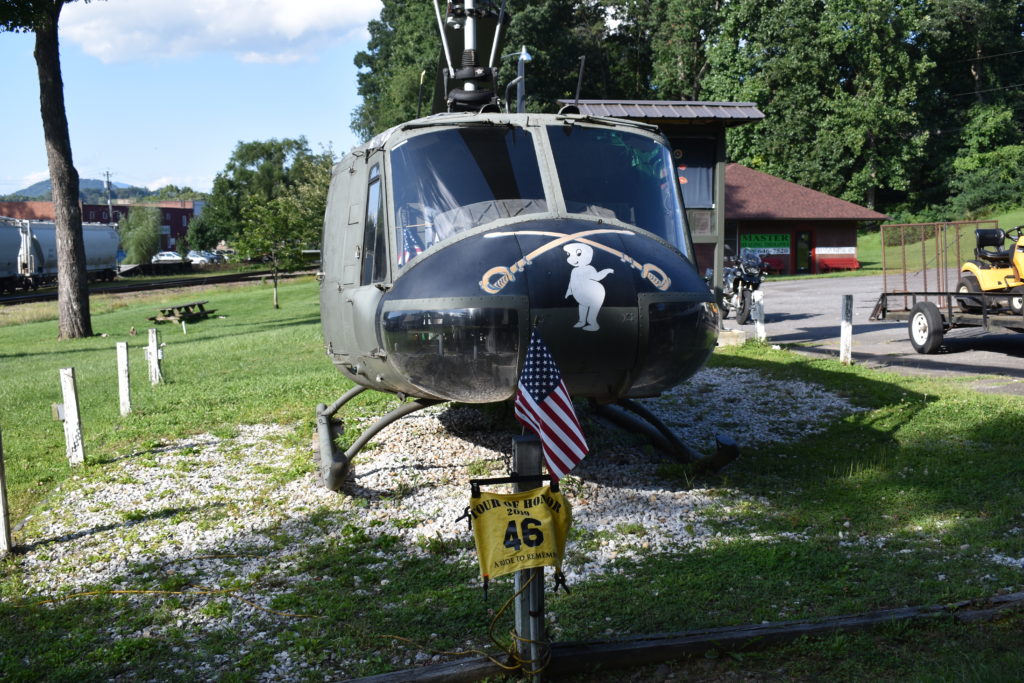
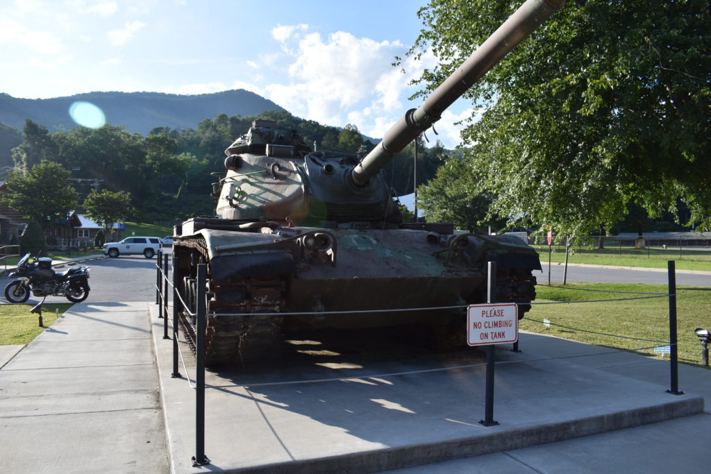
I hit the interstate leaving Meridian, then exit north of Hattiesburg to head west to Sumrall,a sleepy little town in the south. School is out since this is an election day also in Mississippi. I pull into the Trent Lott Veteran’s Park for my picture of the Huey there. I grad a picture of the tank for my brother and ready to hit the road again. As I leave, I see people under pop-up tents doing some politicing with all the campaign signs out. They wave, I wave back and head toward Baton Rouge.
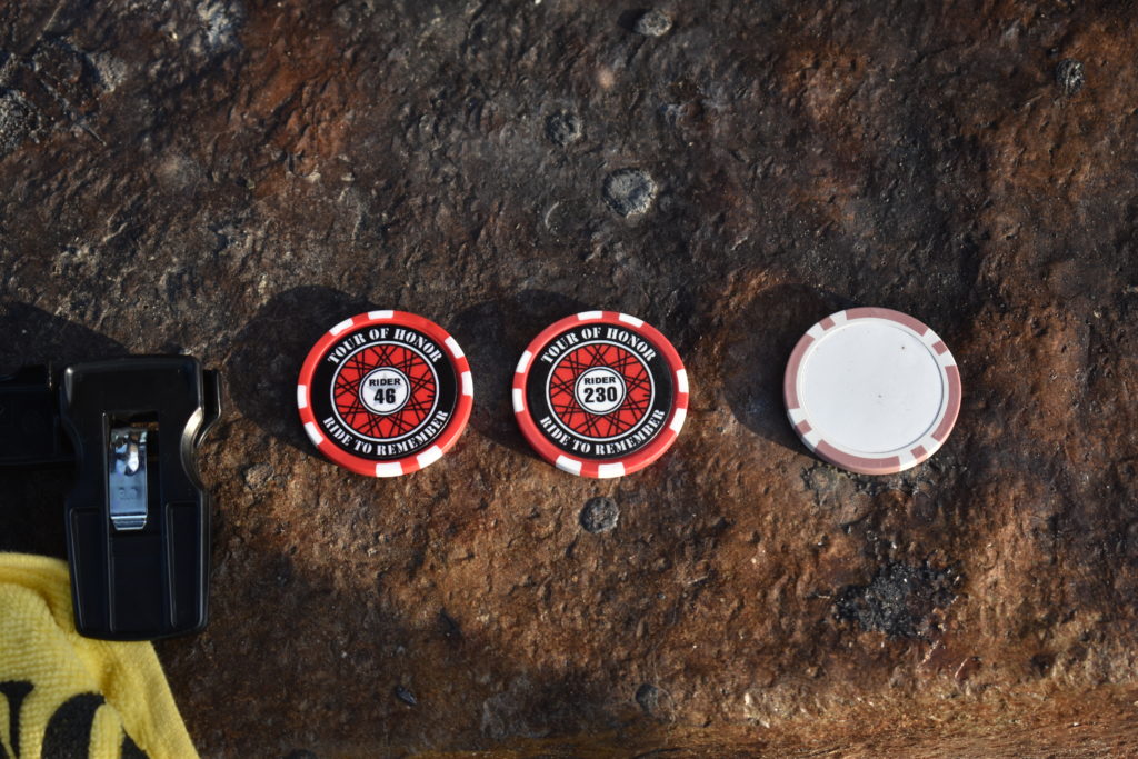
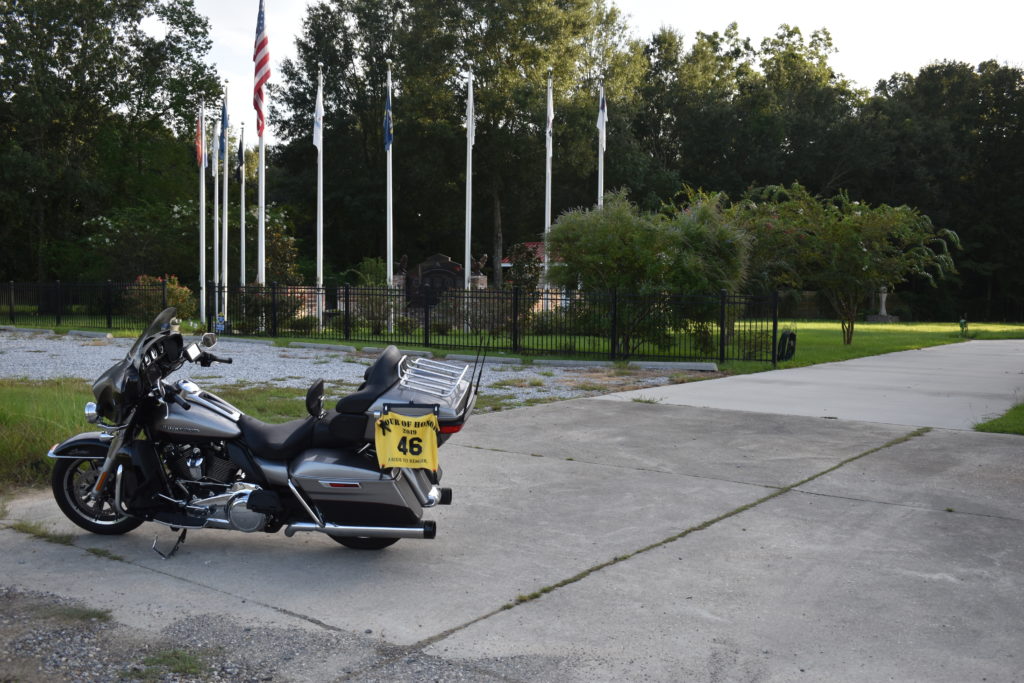
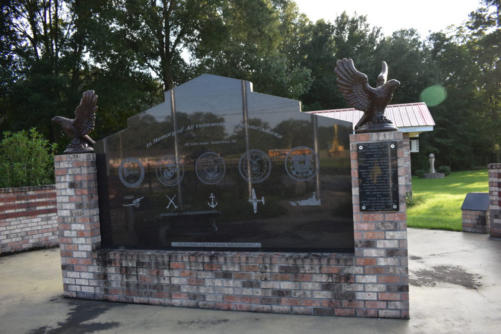
I stay mostly on back roads, avoiding the interstate as much as possible. I come into Central, AL from the east. I stop at a traffic light with the GPS telling me to turn left. I see the memorial less than a block away. I patiently wait my turn at the light, then pull into the parking lot. I notice that the parking lot is of the local Masonic Lodge. Shame that I was there on a Tuesday, they met yesterday. I could have had a great meal and met some Masonic Brothers. I make my way to the Tour of Honor Memorial and get my required picture. I add one of my poker chips as I see another rider has left one too.
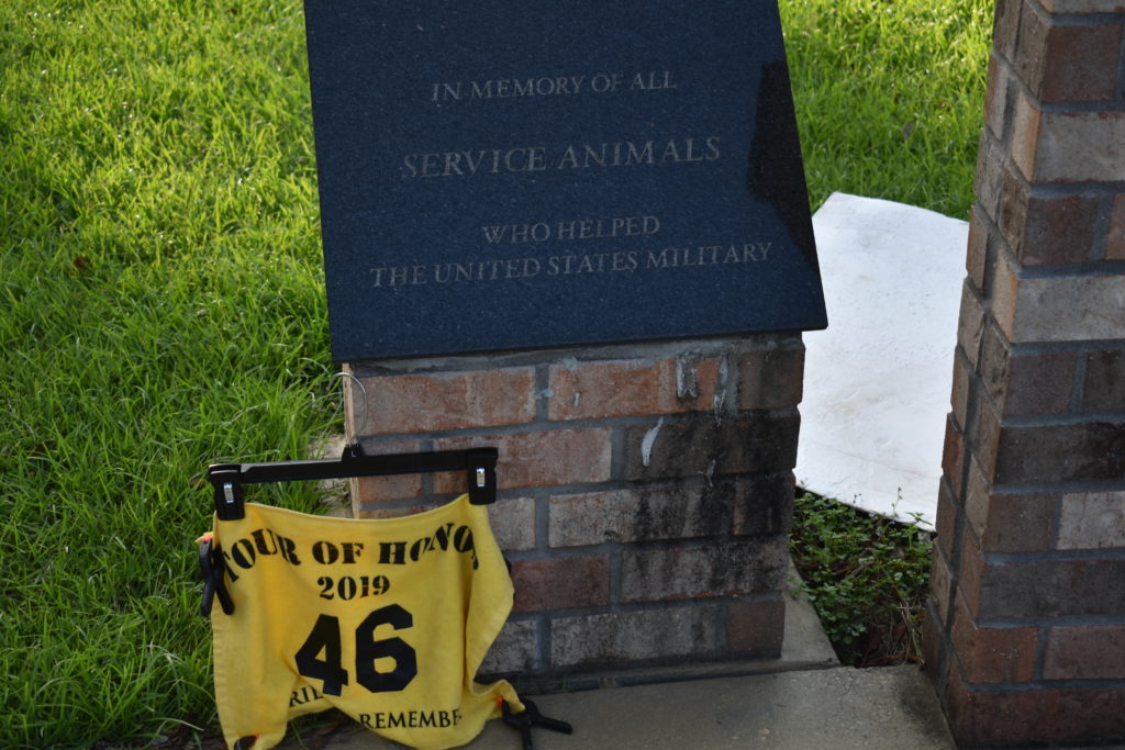
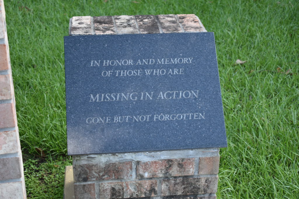
I notice a much larger memorial area behind the Tour of Honor site and I make my way over to it. There are markers for different groups that have served, POW, women, and even “Service Animals.” Service Animals? I make a quick check and see that this isn’t on the list of K-9 memorials, but I get some pictures anyway. I’ll submit and see if this qualifies as finding a new site.
My next stop is the “Gold Star Family” memorial in Baton Rouge. I make a short ride on I-110 and exit at the Capitol Building. I follow the GPS directions, but seems that the GPS didn’t get the memo about restricted access roads around some government buildings. I loop a couple blocks around the Capitol, trying to make my way to the memorial. The memorial is in the park, off a walking trail. It is late enough in the day that there are few people around, most of them are walking in the park. I find a ramp to the bicycle path and pull the motorcycle on it just enough to get out of the way. I see the memorial just ahead. Do I ride the motorcycle to the site and risk police attention, or try my luck at a couple of pictures. I opt for the latter. I get a picture of the bike with the memorial in the distance and a closer picture of the memorial. I have never noticed before if the other Gold Star Family memorial have the state on one of the panels, but this one has the outline of Louisiana etched on one panel. A lady with her some ask if I want her to take my picture with the memorial, I graciously decline since it is getting dark and I want to get to the other side of Baton Rouge before too late.
I hop back on the interstate and head south east. Do I go to New Orleans or stop near Baton Rouge. I keep toying with the options and end up on I-10. I see a Sleep Inn at the next exit with a Cracker Barrel next door. I make the decision to call it a night. I get a bite to eat, checked in to my room, and start my plans for tomorrow. I brought along a miniature bottle of The Macallan, that helps to sooth the soul.
Wednesday, August 28, 2019
Rough night last night. Seems that a couple checked into the hotel about midnight and didn’t use the elevators to bring their metal trunks upstairs. Instead, they decided to drag the damned things up the stairs and down the hallway. I was the lucky person who was across the hall from them. Did I mention that the desk clerk this morning mentioned that they had eleven trunks! I think they were drunk from all the giggling going on too. Anyway…
I had done research and looked over various options for today. Grand Isle was the primary target for today. If I got no other site, that was the one to visit. Doing my planing last night, I decided to scrap the Huey in Slidell and the Doughboy in New Orleans. My plan is to go to Grand Isle, Elton, Ville Platte (for a Huey), Marksville, then in to Alexandria, LA for the night.
There is only one road in to Grand Isle, and that same road out. And there is no direct route to that road. I leave Baton Rouge and head toward New Orleans. Serious construction delays slow me down. I watch the ETA on the GPS go from 9:30, to 10:00, I really start to panic when I see 11:30. And the heat on the interstate is awful when stopped.
Suddenly, the traffic is flowing like there was never a problem. The ETA settles on 10:15 and I take that as a challenge. I exit I-10 and head toward Houma. Soon I am on the one set of roads that lead to Grand Isle. I know that I will soon be leaving civilization for a while, and decide to top off the tank before heading on the toll road. I ask the clerk how much is the toll. “$3.50, $3.75, or $4.00, not really sure. Also not sure if you have to pay both ways.” Thanks. I but 4 $1’s in my outer pocket with a pair of quarters. I have two of the three tolls covered with exact change.
I head south to Leeville and soon reach the toll booth, $3.75. “Keep the change” as I roll on down. Luckily only have to pay when heading to Grand Isle. The road to Grand Isle is similar to the road to Key West, FL, a cross between an elevated highway and a bridge. Speeding isn’t much of a plan with the cross winds coming in, so I maintain posted speeds. There isn’t a lot of traffic and I admire the view. Unlike the road to Key West, there is very little signs of life along this stretch.
I reach Grand Meadows and turn left to reach Grand Isle. A short stretch of 45 then huge signs warning of strict enforcement of 25mph. 5 miles to go, but it is rather quaint, I decide to not test how strict they may be. GPS is now telling me that my ETA is 10:15 and to “exit the road in 1 mile.” I continue straight and see the parking lot next to the memorial. I pull in a get some pictures. I finally made it here! I thought this would be one of the hardest for me to reach this year and it has proven to true. Next target is Elton, LA!
I retrace my tracks toward Houma. I look at the clock and see that I will be near Cut Off about 11:00am. I had been told about a diner in Galiano named Kajun Twist where I had to stop. I put the address in the GPS and soon I am in a near empty parking lot about 11:15am. I beat the lunch crowd, but there are still people here. This cute little place is only one 11:00am until 2:00pm. A small menu of everyday items, but the daily specials are on the chalkboard. I am not a guy that likes things spicy and I am still trying to keep my weight in check, so I order the shrimp salad. A huge salad covered with popcorn shrimp. It tasted better than it looked, and it looked great.
I asked the waitress about a memorial park in town that I had been told about. Seems that everyone in the place was excited to tell me all about it, each with differing directions. But they all agreed, “if you get to the stop light, you have gone too far!” The owner comes out and asks if I have heard of the Tour of Honor. I laugh and hand him a poker chip with my Tour of Honor number. I said I had been referred to his place by Dave (and he joined in with Friedrich!). He joined me for a bit until my lunch came out. He was so excited to learn that someone came because of Dave’s recommendation. I enjoyed my lunch, paid, and ready hit the road.
I follow the sorted directions of the clientele at Kajun Twist and find the memorial park. I had ridden right past here on the way to Grand Isle and never noticed it. I pull in and to walk around for a few minutes. I still have a tight timeline to follow, as well as I am now watching rain developing in spots to the north.
Finally back on the road and heading northwest. Next stop is Elton, LA. I need to make up for traffic from this morning, my long lunch stop, and my extra visit at the memorial park. Though not all interstates, I am making for for lost time. I get on I-10 at Lafayette and head west. I keep thinking about Little Feet when I see I am heading toward Lake Charles, LA. I exit I-10 before getting to Lake Charles and have a short trip to Elton. I keep watching the radar and the skies. I might be able to pass between two storm cells, but I might get REAL wet. I reach Elton and not traffic on this little road. I get my pictures and ready to hit the road. Suddenly, bumper to bumper traffic in both directions at 45 mph! Where did all this traffic come from? I need to make a left, but decide to make the turn to the right and tackle one lane at a time. I go a few blocks then turn left onto a side street to circle the block. I make a right this time, pass the memorial and take off.
I get to the main intersection and pull into the gas station. Clouds are real dark ahead of me, radar shows a strong storm cell just a head of me, but it may be dying out. A clap of thunder and a flash of lightning causes me to wait for a few more minutes. You can feel the rain coming. I don my rain suit and prepare to head to my next stop.
As I start back on the road, I am met with rain about a mile ahead. Not real hard, but hard enough that I am glad I am wearing my rain suit. Radar keeps showing it should be ending soon. As I pull into the parking spot near the Huey in Ville Platte, the rain has stopped. I get a picture and look over my route.
The rain has set me back. I am wet and tired. At least my belly is still full from the lunch at Kajun Twist. I call my bride and ask her to make a reservation in Alexandria for me. I’ll scrap Marksville tonight since the rain storm is moving that direction. I hop on the interstate and in about an hour I am in a dry hotel room, just beating the rain.
Day 2 is in the books and I have visited Grand Isle.
Thursday, August 29, 2019
I spent most of last evening looking at several options. I want to get to Monroe for the night. From there, it is a comfortable, but full, day ride home. I am close enough to El Dorado, AR that I can visit that particular Tour of Honor site, making it a lot easier to finish Arkansas later. If I go to El Dorado, I might as well make the trip to Texarkana to visit a Doughboy site. I also have to backtrack to visit Marksville, which I missed yesterday.
I think I have it all worked out now.
Backtrack to Marksville (LA-5)
Jonesboro (LA-4)
Shreveport (LA-6)
Texarkana Doughboy
El Dorado, AR (AR-2)
Huey in Ruston, LA
Stop of the night in West Monroe
I head back down the interstate to Marksville. I find the memorial in the parking lot of the casino. I wind my way through the parking lot to find an opening in the barricades to ride closer to the memorial. I park fairly close and get a few pictures. I see the security guard driving through the lot, almost like he is trying to find an opening to come to ask me to move. I finish up my task before he can get to me. I am out of the lot and on my way.
I stop for gas before leaving Marksville. I see a broken wagon wheel with an historical marker. I ask the attendant at the gas station about the marker. The story is that the original founder of the town was traveling westward when his wagon broke. He and his family decided to settle in the area.
My make my goals on Jonesboro. So much zig-zagging back and forth today, but this stretch of back roads are beautiful. Weather is fantastic! I pull into Jonesboro a little before lunch and can park enough close to get a few pictures.
Time to hit the interstate. I take I-20 into Shreveport and follow the GPS directions to the American Legion. Every now and then, being able to think quickly helps. The GPS wants me to turn onto a street, but I see the entrance to pull into the parking lot. I park close to the memorial and get my pictures. From here I can see the interstate, I could have almost seen the park from the interstate if I had been a little taller in the saddle. I enjoy the solitude for a few minutes before heading out.
I head out north on I-49 from Shreveport. Speed limits are 70 and 75 along this stretch. I enjoy the higher speeds for a while, until I notice the low fuel light. The area is pretty desolate, I pass a few exits with no signs of gas nearby. I decide I need to turn on the bike’s GPS to find me a gas station. I leave the interstate at the next exit and head back south. As I near the previous exit, the bike’s GPS tells me to turn around. I have gone 15 miles now. I go back 10 miles (along the road I was just on) and turn left to head to the next town. Another 10 miles up the road and I find a gas station. I pull in and gas up. I follow the Garmin GPS to get back on track. I rejoin the interstate at the exit after the one I used to start my search for gas. This exit is a mile from the previous exit. I mention all that to tell you that there is a truck stop with plenty of gas at this interchange.
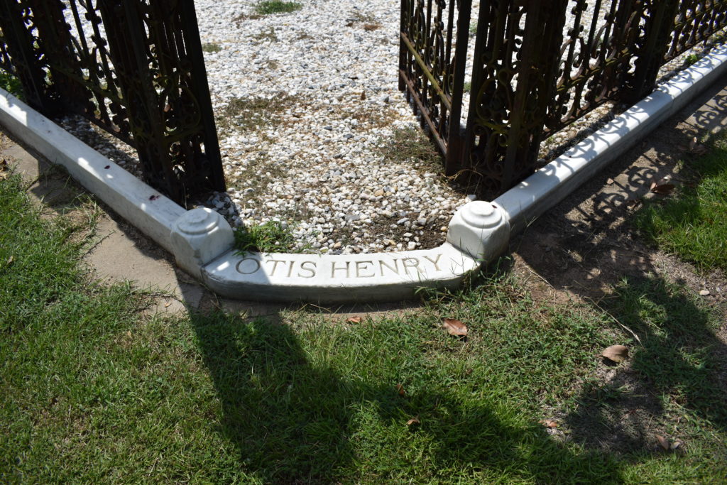
Back on the road I head to Texarkana. I follow the directions and start to wonder where I am going. I head along several train tracks, through an industrial area, then through the train yard. I am about to give up and make a U-turn when I see a cemetery ahead. I continue into the cemetery and along the center road are markers for veterans. at the far end, there is the grave for Mr Otis Henry and his mother. Two angels flank a young man ready to enter the business world, with a Doughboy standing guard above them. I take a few pictures and slowly ride out, paying attention to the markers and reading the plaque for the Rose Hill Cemetery.
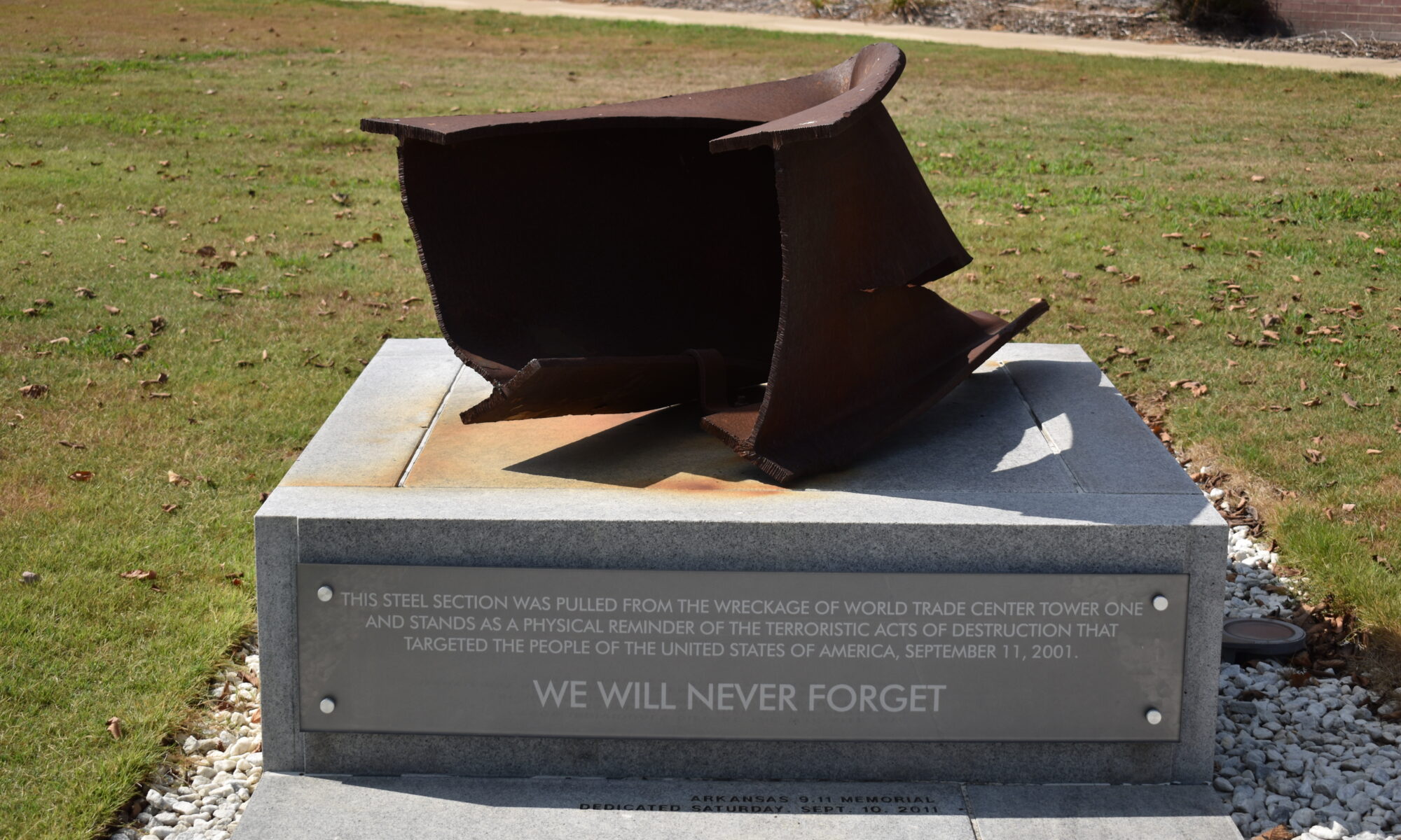
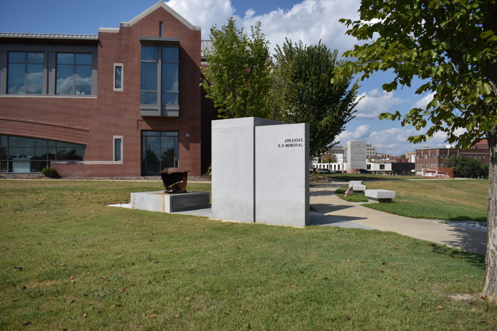
I make a few turns through town and find myself on US-82, which takes me right to El Dorado, AR. Light traffic, great weather, and open roads, what can be better? All good things just come to an end. As I enter El Dorado, US-82 turns to bypass downtown and I am now on Business-82, which is stopped. I see several traffic lights ahead, none seem to be timed to a smooth traffic flow. I inch my way through town and make the turn toward the Community Center. The parking lot is full and I wait for a spot to open up. I soon have a parking spot for the bike, though not as close as I would like. I take a picture of the bike and walk over to the memorial. This is a memorial with part of the World Trade Center. I take a few pictures and a video on the phone. I have to redo the video since the first was a bit too emotional.
I pack the camera and everything back on the bike. Based on how far it is to get to Monroe and that the other sites for today are bonus sites, I decide to just head to the hotel. I look over the map and see that there are several hotels with restaurants nearby, a welcome change. I make a reservation and hit the road.
Quick trip to West Monroe, but I am still tired. I have seen some great places today, weather has been pleasant, light traffic overall, and I am now safe in the hotel. The one local place that was not a chain is now closed, so I pick a place that I don’t have at home. I end my evening making my routing plans for tomorrow.
Friday, August 30, 2019
I scaled the route to include a K-9 memorial which is about 10 miles south west, and Winnsboro (LA-7) which is about 30 miles south east. I leave the hotel and stop as the gas station across the road. I look over the route and make the decision to just do Winnsboro to finish all the Tour of Honor sites in Louisiana. Though I want to visit another K-9, I would rather just get home. I adjust the route to only include Winnsboro and home. Fueled up and off I go.
I hit the interstate and make the quick ride east to my exit toward Winnsboro. Morning before traffic and schools, the road is all mine! Slow, winding curves, clear skies, 75 degrees! I ride through town and see the turn into the park. I pass the memorial before I realize where it was. I find a place to turn around and park as close as I can. “No Parking” signs abound, but the place is deserted and I ignore them to get a few quick pictures.
I make my way back to the interstate and it is still early. As I approach Jackson, MS, it is nearing morning rush. I decide to hope on the Natchez Trace to bypass Jackson. As I near I-55, I need to get one more tank of gas to make it home. I decide that I might as well stay on the Trace since it is only a few miles from the house. I set the cruise just over 50 mph (speed limit on the Trace is 50 mph), and just relax. I enjoy the deer, turkeys, a beaver, even a hedgehog or two. No pictures since I would have to stop, get out the camera, and they would scatter if I did that. I need to get a camera to mount on the bike similar to a GoPro for times like this.
I cross the Tennessee River and make the exit for Florence. This stretch of road gives me a chance to open up the bike on last time. I’ll not post the top speed as it might be used against me in a court of law, just saying…
DONE! I have visited all seven of the Tour of Honor memorials in Louisiana. I also added another ToH site from Arkansas, making that state easier to complete. So, my tally with these last few days:
8 Tour of Honor sites (7 in Louisianna, 1 in Arkansas)
2 Doughboy sites
2 Huey/Cobra sites
1 Gold Star Family memorial
1 denied K-9 memorial (acually for “Service Animals” and was reviewed as not meeting the goal of honoring K-9’s.
and I completed another state, making this a total of 7 states completed.
I still have two months to complete a few more states by the October 31 deadline. I want to finish Arkansas in the next couple of weeks. Kentucky, Illinois, Virginia, DC, and Maryland are also on my list to complete this year. Might try to add Ohio and West Virginia. So many sites and so little time. Guess another Tour of Honor Iron Butt may be on tap.
Last week we had a lot of work finally finished around the house. We have gotten the front yard cleaned up, new sod put down, and a new fence. I need to seal the fence in a week or so, but today isn’t the day. My bride took her aunt to the doctor and I am sitting around the house. What to do, what to do?
80 degrees, not a cloud in the sky. What to do, what to do? I hear a noise in the garage, sounds like crying. I go out and Love bug is crying. She doesn’t like being in the garage with the weather this nice. I agree. I take a quick look and decide to tackle a few optional sites.
I leave a note for my bride and head out. Gassed up and about to mount the bike when the phone rings. I don’t have the headset with me, so I do a quick check before taking off. It is my bride, so I tell her what I am doing, she tells me she is off to go to the farmers market.
I head toward the Natchez Trace, then to US-72. Before getting to Memphis, I make the turn and head to Southaven, MS. A short trip on the interstate has me at DeSoto County Veterans Park. I scan the area looking for a statue of a K-9. Nothing. I get my picture of the bike at the park, now I have to find the memorial. I take off along the path that circles the pond. I find memorials for each conflict/war in which the United States has been a participant. “Global Terrorism,” “Vietnam,” “Korea,” “WWII,” “WWI,” “Spanish American War,” “Civil War,” “War of 1812,” and the “Revolutionary War.” Only one more memorial ahead of me, “They Also Served.” This memorial is not only for K-9s, but also for carrier pigeons, and horses. I complete the circle around the pond and now back at the bike. I mount up and head to the next memorial.
A quick trip on I-55 and I exit at Stateline Road. Two lefts and I follow the road past the memorial park and the Southaven Police Department. I make a U-turn at the library and park the bike Jim Saucier Memorial Park. Another trail around a pond. I see several exercise stations around the pond, but I also see a marker of black granite on the other side of the pond. I make the hike and see the marker is off the trail. This is a memorial to K-9 “Bach” who was killed in the line of duty.
I make the hike back to the bike and the phone rings. My bride is calling to ask where I am and when I will be home. I tell her I am in Southaven, should be home by 4″ish”. I also tell her that I am thinking about adding the stop in West Memphis. She tells me to ride safe and she will see me when I get home.
Back on I-55 and head into Memphis. I went to college and lived in Memphis a few years after college before making the move to Washington, DC area. I recognize many names of streets and places. I make my way to Overton Park. I knew of the place many years ago, but it is a lot different now. It has been cleaned up and now has the “Charging Doughboy” near the entrance to the park. I park as close to the Doughboy as possible for the picture.
I plot the location of AR-7/West Memphis into the GPS and ready to go. I head out of Overton Park, making the right on Poplar Ave. The GPS wants me to take its route, but I have other plans. I ride down Poplar past familiar landmarks: Jack Pirtle’s Chicken, the “old” Western Auto store (where I worked in college) which is now a healthcare center, and some old houses. Making the left onto Bellevue Blvd, I pass what was Bellevue Baptist Church. Making the right onto Madison Ave and onto I-240, I head to West Memphis, Arkansas. I pass Southland Park which is a dog racing venue and casino. Exit the interstate, follow the service road, then turn onto Missouri Street. I follow Missouri until I get to Broadway Blvd. I make the right onto Broadway then a left into what was the municipal court. Last time I was here was to testify in an auto accident where I had been hit. I see the memorial and circle the drive. The place is deserted, even though it is shortly after the lunch hour. I decide to ride the bike on the sidewalk for a close-up picture.
Four sites visited today: 1 Tour of Honor Site (AR-7/West Memphis), 1 Doughboy, and 2 K-9 memorials. Three hour bike ride back home, no clouds, heat isn’t as bad as it has been, and Love Bug is happy. My bride has supper waiting for me as I walk in. She is too good to me. Not bad for a last minute short 350 mile ride.
Bittersweet ride. Loved the clear skies, loved visiting old haunts, disappointed on run down towns. West Memphis seems to have fallen on hard times since I was last here, and it looked rough in the 80’s when I left Memphis.
We have had some work around the house being done and I needed to be home for a few days. The landscapers have been on a vacation and need to get a large project done before they start on our yard. I had postponed a ride since they were expected, but now I am getting depressed because I need to ride. My wonderful bride can sense this and tells me that I don’t have any obligations for two days. She asks where I would go. I think for a bit then remember that I “need” to visit Cherokee to complete North Carolina. I start looking at a few ideas.
I decide to put a few sites in the planner and see how it wants to take me. I don’t hide that I don’t like interstates, but I decide to see how I-565 is during the day. I leave home about 8:00 am and head to Decatur where the road become I-565. The GPS suddenly shows delays ahead. I pass an exit and all traffic stops. I can’t turn around. I am at the next exit, but it is also blocked. There are several police cars blocking all traffic on the exit ramp and on I-565. Everyone has turned off their engines and now we all wait. The guy behind me comes over and we chat for a bit. Seems that there is an 18-wheeler that took the exit ramp a little too fast and has tipped over on the overpass. The police have stopped all traffic while the wrecker company rights the truck back on its wheels, just in case the truck flips over and crashes onto the interstate below.
After about 30 minutes, the traffic is set free. The GPS is now telling me that there is more delays ahead. I-565 becomes US-72 heading east from Huntsville. The GPS indicates that the delays will be on I-24 going into Chattanooga. As I get to I-24, the GPS continues to warn of delays ahead, but the interstate looks okay. I decide to take a chance on the interstate.
I see warning signs on the highway that there is construction a head. I need fuel, so I pull over. I ask the clerk about options to continue east without getting back on the interstate. She gives me some quick directions and I take off with a full tank of fuel.
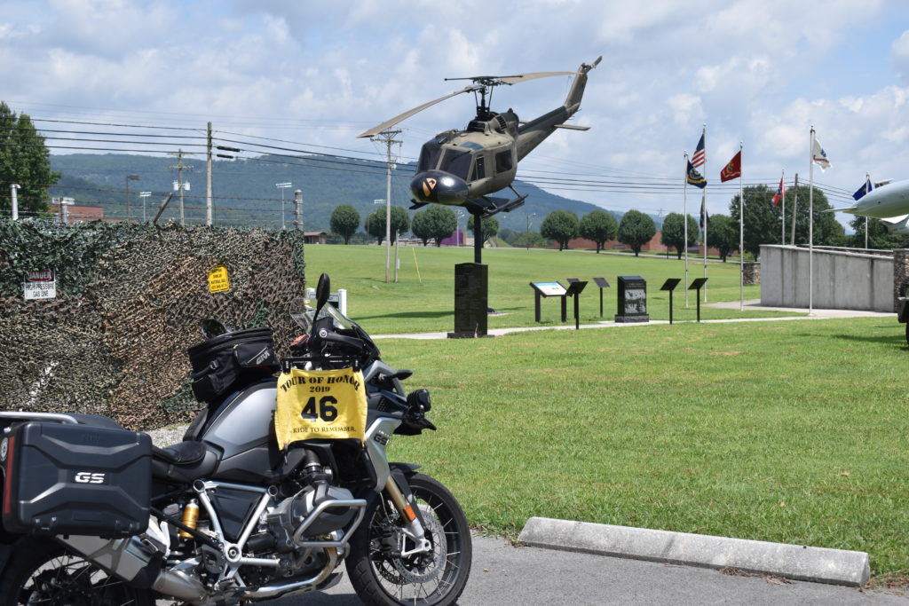
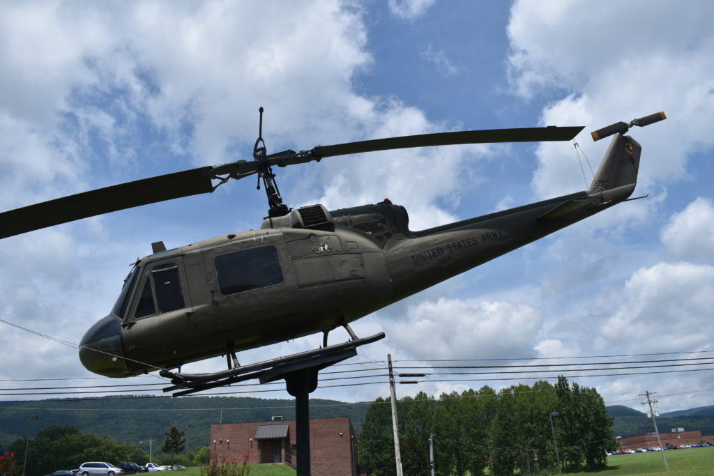
I follow the girl’s instructions and soon see “DETOUR” signs. The road is parallel to the interstate, which is stopped! The GPS has adjusted the route and tells me that I should turn back onto the interstate in a few miles. I continue and can see that the construction delay ends before the ramp where I will rejoin I-24. A quick ride back on the interstate and I am ready to exit to head to the first target for the day, A Huey at Collegedale. I follow the directions from the GPS and end up at a ball field. I see flags on the other side of the tree line. I head back out and try my luck coming from the other side. As I return to the main road, I pass a strip mall and see a memorial park in the field behind the shops. I ride behind the shops, looking for a trail to the memorials. Only access is a gravel access road with a sign “AUTHORIZED VEHICLES ONLY.” I see some landscapers parked at the end of the road, so I take my chances and take off down the gravel road. I pull up and ride over to a spot to get a good picture. I wave at the workers as I leave.
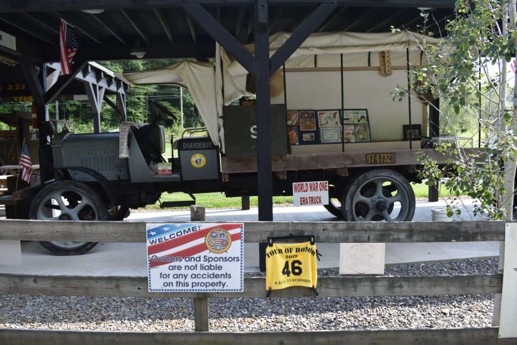
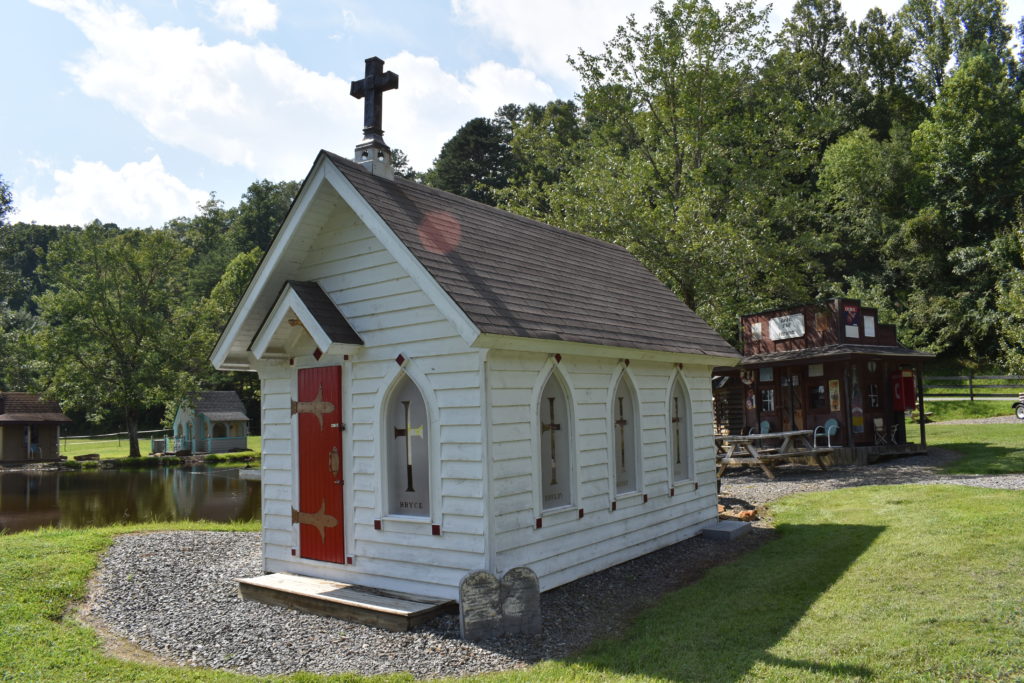
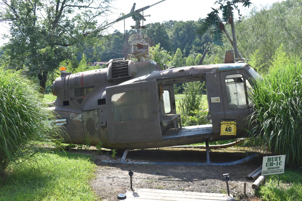
Between the extra time to find the first Huey and the time spent in traffic, I decide to abandon the ride to Blue Ridge, GA. MY next sit is Murphy, NC. I head east on familiar roads, US-64. I have ridden this stretch a few times and enjoy it so much. US-64 merges with US-129 and I head on into Murphy. The research on this site indicates that it is an amateur run, outside museum. I ride through town and follow the instructions of the GPS. I see the museum/display ahead and make the turn onto the side road. I park and take a walk around the area. I get a picture of the bike at the park, then head to the Huey for a close-up. I notice that there is also a “Doughboy” here. There is only one problem, the Dougboy is the name of the World War I truck on display. The display also includes a chapel, store, and a small house. There are many other vehicles and memorabilia on display. I take a few more pictures and enjoy a rest for a few minutes
Back on the road, US-129 has merged with US-19/US-74, I soon see the turn where US-129 branches off toward Robbinsville. I know that road too. How I wish I had the time to take a side trip there. That would send to to the Tail of the Dragon. Alas, I am on a mission and no time for even a short side trip, much less one that I know will take a couple of hours. I Stay on track and head on to Waynesville. This site was the most memorable of my visits last year. I had been given a history lesson on this particular Huey from a Vietnam War pilot. I come at the site from the opposite end of town from last year. As I approach, I see that there is a maintenance truck that is parked, blocking the entire side of the Huey from the parking lot I park the bike behind the Huey and get my picture from the opposite side.
I now have a short trip, backtracking most of the way, to Cherokee. I think about checking into the hotel before going to the memorial in Cherokee (NC-2), but decide to head straight to the memorial. I find the memorial and park beside it. There are some other people enjoying the memorial, I get a few pictures once they leave.
I ride back to the hotel and decide to call it a night. I check in and ask about a place to eat within walking distance. Their definition of walking distance and mine are different. After riding all day, a mile to mile and a half walk is not walking distance. The gas station next to the hotel has a convenience store, so I get some snacks and drinks, then head back to the hotel for the night. I find that I have guests on my balcony that want to be fed. I run them off. The ducklings seem to be more understanding than the goose, who hissed at me before waddling off.
Ride back home
I am up early, ready for a ride home. I have set my route and going to try my luck going into Knoxville during the weekday. My original plan was to leave at 8:00 am. I have breakfast in the hotel, gas up the bike next door, and hit the road. It is in the mid 60’s as I leave Cherokee, heading toward Gatlinburg on US-441
I pass the Blue Ridge Parkway Visitor Center. Temps are soon at 60 degrees. Cars are stopped ahead, people are outside the cars and taking pictures. A group of deer are crossing the road and people letting them pass. A mile up the road, I see an elk doe grazing on the left. That reminds me of my introduction of group of elk on a ride in 2017 with Tim. We had rounded a curve and found a group of elk in the field on the left. Only problem was that there was a single elk fawn on my right. “Momma” was keeping an eye on us in case the fawn was in danger. The fawn crossed and everyone was happy. Tim and I didn’t stick around, we got out of the area!
During the ride to Gatlinburg, I pass more elk and deer. The temps have now dropped to 55 degrees. A bit chilly, but a relief from the heat yesterday. I love the twisties on US-441, especially with the well maintained roads. Early morning through Gatlinburg during the week finds the road with no traffic. A few trucks scattered about making deliveries, and only a few tourists walking in town. Traffic picks up as I pass through Pigeon Forge and Sevierville. As I turn onto I-40, traffic is light and speeds are at posted speeds. My exit in Knoxville is at a confusing interchange. I follow the directions of the GPS as best I can, making circles and turns, back tracking, and eventually finding my way to the Doughboy. The street is deserted, I park on the side of the street, walk across the street and get my pictures.
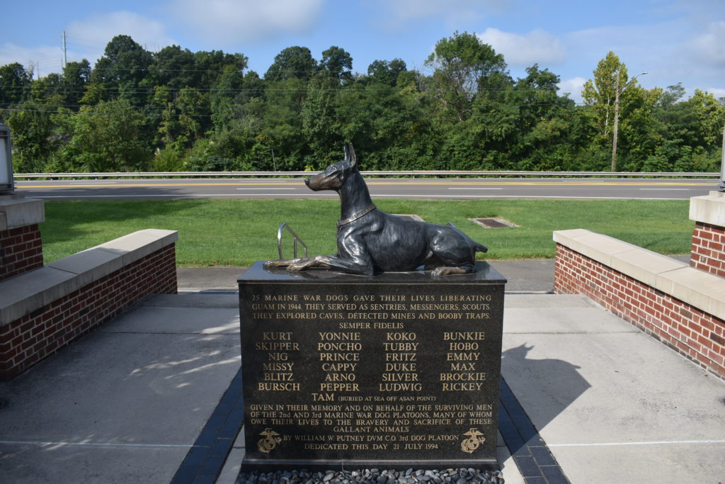
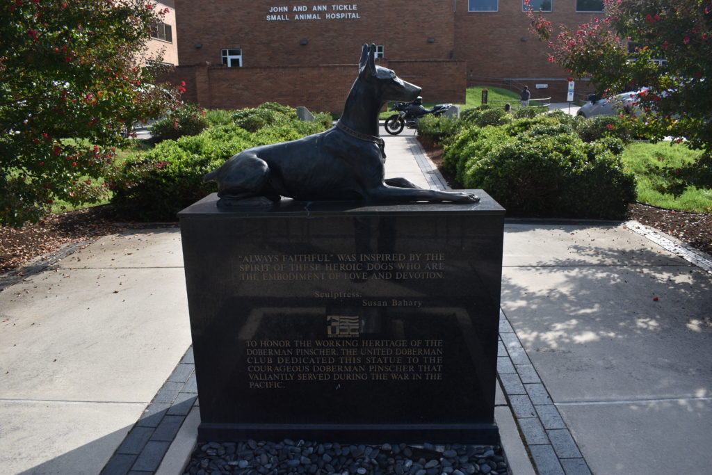
I loop the block and head to the University of Tennessee Veterinary Hospital. This is a repeat visit as I stopped here last year. I park for the picture and then walk to get a close-up of just the K-9. As I am walking around, an Irish Wolfhound comes to have me pet it. His human comments to the him “the nice man might not like dogs.” I laugh and explain if I didn’t like dogs, would I be taking pictures of a K-9 memorial? I pet the dog, let him sniff me, then he is ready to go finish his “business” before going into the hospital. I hop back on the bike and ready for my next stop.
I quick turn on Neyland Road, make a loop onto Alcoa Highway. I head toward the airport. I know my next target is behind the airport, but the maps don’t seem to agree on the best route. I turn onto Airbase Road and follow it around to the National Guard gate. I pull up and tell the guard I am looking for a display of a Cobra helicopter. He tells me that Airbase Road will turn left just past the gate and to follow it around to Hobbs Road. I make the u-turn at the gate and follow his directions.
I ride around the outside of the National Guard base, finding my way to the VFW. As I pull into the parking lot and find an angle that will give me the right angle for a picture. There is a car in the lot, with the owner and his dog walking around the Cobra. I manage to get pictures of the bike and Cobra. I talk with the guy for a while about motorcycles, traveling, and retirement, all while petting his pit bull. He talks about his father’s ’74 Harley that he has been restoring and planning to buy a houseboat when he retires in two years. We shake hands and part ways.
I head back north on Alcoa Highway to I-140, then I-40 to US-27. My time on interstates have come to an end on this trip. Though I may have some divided four lane roads, no more interstate. I ride US-27 south to Soddy-Daisy. Another site where I visited last year. I pull into the park, get the required pictures and head to Dunlap.
Leaving Soddy-Daisy, I backtrack on US-27 until I get to TN-111. I side track off TN-111 on US-127 and TN-28 through Dunlap. I find the Veterans Park and pull into the small parking lot. I get the photo I need for the tour, then explore other parts of the park. I take a more pictures and a video.
I have stopped at the sites I had planned for today. Familiar back roads for the rest of my trip home. I retrace my route back to TN-111, then continue on TN-111 to TN-399 and TN-108 into Gruetli-Laager. I stop for lunch at one of my favorite stops, Brown’s Dairy Bar. As I approach, I don’t see the “OPEN” sign lit. As I pass, I see that the signs on the other side are lit, it IS open! I had passed a couple times in the past few months and it never seemed to be open, I was afraid that it had closed for good. This place makes the BEST milkshakes. Not just the regular flavors, but custom flavors and mixed flavors.
After lunch, I continue on TN-108. I make the left turn on TN-50, which eventually merges with US-64. I ride through Winchester, pass the turn off to Lynchburg, through Fayetteville and Pulaski. I call my bride to let her know I am an hour from home I make the left turn onto TN-11, through Minor Hill. Once I cross into Alabama, the road changes to AL-207, I make the right turn onto AL-64. I am on auto-pilot as I cross US-43 then make the left onto CR-47. I am home in a matter of minutes.
This has been a short ride in comparison to my other rides of late. Tally count:
“Best laid plans of mice and men…” Daily adjustments starting on the first day. (Wednesday, July 17th)
Planned day one was to head almost due east, up around Chattanooga, and end the day in Maggie Valley, NC. The plan was to visit a few Huey/Cobra helicopters and visit Cherokee (NC2). Weather looked sketchy, but I thought I could handle it.
I had loaded, unloaded, reloaded, adjusted load, and readjusted again. Finally found a balance that I liked. Everything was loaded, had the route loaded into the GPS. I even had set the ride mode on “RAIN” for my start on Wednesday morning.
Plan was to leave about 8:00am. This would put me passing through Huntsville just after the end of their morning traffic. However, heavy thunderstorms were moving through when I was ready to leave. I don’t like riding in rain, but will do it. I DON’T ride in lightning! These storms had the skies lit, pretty light show. Not leaving yet. I wait.
About 9:00am the storms have moved out and the skies look like they might be clear enough to ride. About 9:30am I leave my favorite Circle K. Luann asks where I am headed and when I will be back. I tell her about my plans, gas up, and mount the BMW GS. Roads show that there has been rain, but not too slick or overly wet. I take off.
Plan is to ride AL20 to Decatur, hope on I565, then US72 on to Chattanooga. I make the turn onto AL20 from Wilson Dam Road and can see that the skies are dark in front of me. The various weather reports indicated that this storm should dry up about the time it got to Huntsville. If I time this right, it will be gone as I get to Huntsville.
I didn’t time it right. As I neared Town Creek, I had caught up with the trailing edge of the storm. what started as a light sprinkle quickly changed to a full rain. Raining, but not bad enough to worry about. I am wearing good rain gear, so I am dry. About the time I get to Courtland, it is raining harder with darker skies, but I can keep going. I get to Hillsboro and have caught up with the lightning. Rain is REAL hard, seems that I may not have tied my right boot tight enough and my right foot is wet. I also left the top vent on the helmet open, this is the first time I have had rain come in that vent. Now I have water dripping on my nose. I close the vent, the the pads are soaked and continue to drip. When lightning hits with the thunder almost instantly, I pull over. I check the radar and see that this front has grown and I will be fighting this all day: thunder, lightning, strong winds, heavy rain, and all the joys that go with that. I call home and announce that I am aborting the trip for today.
Ride to Salisbury, second attempt (Thursday, July 18th)
Since I have to make the trip to Salisbury in one day instead of two, I have to make some serious changes. First change is that I will have to scrap several sites that I wanted to visit, including NC2 (Cherokee). Second change is the route Instead of back roads, I will have to spend a lot of time on the interstate. Third change is that instead of “Love Bug” (the BMW-GS), I will have to take “Scooter” (the Harley).
I plan to leave by 4am. Routing indicates that I will have an 11 or 12 hour ride, add in the hour change from Central Time to Eastern Time, it will be be like 12 or 13 hours according to the clock. I had already repacked everything and loaded on the bike when I got home yesterday. I set the alarm for 3am to get myself ready and do a last minute check. I hear rain. Not again! If all else fails, I will have to take the truck, scrap all the site visits, and plan another trip to North Carolina just for a Tour of Honor Ride. I check the radar and the weather isn’t nearly as bad as yesterday. This particular rain cloud should be gone shortly and I will be going around it on my route. I wait about an hour to keep a watch to see that the track is doing what is predicted.
I get to Circle K and gas up then set the SPOT tracker. I make all my notes in my notebook and am ready to hit the road. The roads are wet, but the skies are dry. I take my usual route from Florence toward Nashville which takes me through St. Florian, a left on US43, then I make the turn on I-65. Now to get some higher speed riding. Jut as I think I will set the cruise, I hit morning traffic heading to Nashville. I only have a few miles before I make the turn onto I-840, then the speed limit is 70mph.
I keep a watch on the GPS/radar and see that I managed to get between two storm clouds as I rode around Nashville. I-40 looks clear, both from heavy traffic and rain. I get through Knoxville with clear skies. GPS/radar shows that there is a storm forming north of I-40 near Asheville, but I might be able to miss it. As I approach Asheville, I stop for gas. Roads are wet, skies are dark to the north and south. I can hear thunder, but don’t see any lightning.
I get back on I-40 and the rain has found me. It hit too quickly for me to stop and put on rain gear if I hadn’t been wearing it all day. I am trying on the Klim gear that I got when I purchased the GS. The pants get REAL hot, so I have shorts on under them I zip the vents closed and keep going. The rain stops within a few minutes and I make it on into Salisbury without any more rain by about 5:00 pm (11 hour ride plus one hour time change)
During my planning for this trip, I had checked if there were any Masonic Lodges in Salisbury. There is a lodge about a mile away from the hotel, and they are meeting tonight! I change into jeans and polo, then make my way to the lodge. I enjoyed a great meal of a “Low Country Boil” (shrimp, sausage, corn on the cob, and potatoes boiled in a huge pot, actually real huge pots!). To my surprise, they had a presentation on the H.L. Hundley, the first “submarine” to sink an enemy ship in war. Check it out, the history is fascinating.
I get back to the hotel and some routes for rides through the area to visit some Tour of Honor sites. While doing my planning, I get text message that my friend, Chris, will be on the second game, so I plan a ride before his first game.
Time to get some rest.
Tour of Honor Ride and Softball (Friday, July 19th)
I have until about 12:30 before Chris’ first game. I get up early and load today’s route into the GPS. I make a last minute check of the weather: should be clear skies and hot.
I make the quick turn and get on I-85. GPS says I should make it in about an hour and a half. It didn’t take into account the ride on Charlotte Motor Speedway, aka I-85 in Charlotte! I won’t mention how fast I was going, but I was doing well over the speed limit and had trucks riding close behind wanting me to speed up, I was in the right lane!
I made it to Ellenboro safely. I had checked out the photo of the site and was trying to figure it out. As I approached the site on the left, I realized why the picture was made the way it was. I pull into the driveway of a home across the road from NC-4. I pull out my rally flag and get a picture of the bike with the memorial in the background. I decide to get a closer look.
This memorial is on a small area of a farm. There are silhouettes to commemorate many of the wars In which the United Sates fought. There is a silhouette for the Revolutionary War, Civil War, World War One, World War Two, Korea, Vietnam, and the ongoing conflicts in the Middle East. There are flags for each of the branches of the military, as well as police and fire responders.
After my visit, as I am leaving, the owner/creator of the memorial pulled up. I had already started the bike and was back on the road when he flagged me down. We sat in the middle of the road or a few minutes talking. He was an Air Force Veteran and wanted to do something to commemorate military and first responders. Some of the Tour of Honor riders have spoken to him, but he knows there are many that he misses. I found that he owned the house across from the memorial where I had parked. He asked that I thank all other Tour of Honor riders for visiting his home-made memorial
I make the ride back to the softball tournament to learn that the first game had gone extra innings and the second game will start late I stay and watch three softball games which go until almost 10:30pm.
Another Tour of Honor Ride and Softball (Saturday, July 20th)
Chris’ first game isn’t until 1:30pm. I look over the memorials in the area and map out a plan. I get a quick breakfast and hit the road. Though I prefer to stay on back roads, today I need to use the interstate to put a lot of miles behind me
I spend about an hour on the interstate before I take the road to my first site, NC-5 (Liberty). Each of the state sites will have one memorial at an American Legion Post. Liberty, NC is the choice for North Carolina. I pull into the parking lot and get the picture of the Post with the armored personnel carrier. I mount the bike and head to my next stop.
Back roads! This I really like. I love the ride from Liberty to Roxbury. Slow and winding roads, I have light, fluffy clouds in the sky, temps aren’t too high either. Best I can say is that it is wonderful. I pull into Roxbury, get my picture, and ready to go again.
The roads to Danville are familiar. I have spent many miles on these roads. Roads through farms, over hills, past streams all with light traffic. It is a Saturday in the summer after all and people are out and about. I know US 360/US 58. US 58 from Rocky Mount, VA westward is known as “The Crooked Road.” It passes through some areas with Virginia’s musical history. We have traveled the entire route of The Crooked Road several times.
As I approach town I see that things have changed in this quaint little town. The Heartline Diner that had been in a tiny building downtown is now in a much bigger place on the outskirts of town. I wish that I had the time to stop for a bite to eat, this place it great.
The memorial at VA-2 (Danville) is just off the side of the highway just before I get to town. As I approach, I see a cemetery on the right. I pull in and see the memorial. I read the history of this memorial and soldier to whom it is dedicated. I also spot that another Tour of Honor Ride has been here since he left a poker chip. I regret that my poker chips arrived the day after I left on this trip. My break is over and I need to head back.
I take US360/US58 to US29 and head south. As I get to Greensboro, I see the signs for Guilford Courthouse NMP. I wasn’t sure if I would have the time to visit here, so I had not added it to the GPS route. I make the last minute decision to give it a try. I miss the turn with the exit sign but take the next exit which is less than a mile away. I back track through town and start hunting for signs. I finally see one and know I am on the right track. I have a momentary panic when I see the sign pointing one way, but there is a detour sign on the road. I opt to take the chance and follow the sign to the park. I pull into the park, get the picture, stamp my passport, and head back to Salisbury.
Leaving Greensboro the skies start to darken on either side. I pray that the narrow band of clear skies let me pass before the clouds close in. As the road winds to the left and right, I see the clouds closing in on the clearing and the roads are wet. Lightning and thunder give me concern. I get real uneasy when I watch lightning strike an overpass ahead of me. Just as I think I was going to stay dry, water is falling from the skies. This rain is short lived and I have made it through without getting too wet. The lightning and thunder are behind me, but the weather front is moving south toward Salisbury.
Since the skies are clear and I have a few more minutes before Chris’ game, I make the stop to capture a Huey at the VFW in Salisbury. As I am taking a few pictures, one of the members of the VFW comes out to chat. I notice a small memorial and comment that I have mixed emotions about the memorial. I like that it is there next to their honor wall, but disappointed that they have to have the statue chained and locked. He tells me that this isn’t the first statue that they had put here, they seem to “vanish” at times. We shake and say goodbye as I head to the ball park for the rest of the day.
I pull into the parking lot of the ball field as they announce a delay due to the coming storm. This happens to be the storm that I had ridden through only an hour earlier. I head back to the hotel since I know this will be longer than the required 30 minutes. I get a bite to eat at a restaurant next to the hotel. As I was enjoying my dessert, I get a call that the games will be starting back shortly. I finish my dessert and head back to the fields for the rest of the day.
Softball and Ride to Fayetteville, NC (Sunday, July 21st)
There are actually two tournaments at this complex. Each tournament will have two games today, the losers bracket game then the championship. Whoever wins the first games will eah have to play a second game against a team that is fresh. I bounce between the two fields while there games are going on. Chris is on one field, another friend is on the other field. I watch a few innings of Chris’ last game. I send him a note, knowing he won’t see them until after the game. I will be many miles down the road by the time the game ends.
Between innings, I catch Chris’ attention and wave goodbye. I head to my trusty bike and ready to hit the road. I call Glenda and Ken to let them know I am on the road heading their way. I should be there about 6:00. I have a few sites planned between Salisbury and Fayetteville, so the 120 miles will take about 3 hours.
I head east passing back through downtown Salisbury. I wave an honorary wave and wonder if I will be back here next year, I don’t know of any other friends that I need to visit at a Little League Regional Tournament. I do have several who I have promised to visit them when they do their Little League World Series Tournament.
Sunday afternoon in the summer, I would have expected a bit more traffic. The roads are desolate. I have enough fuel to get to Fayetteville, so I don’t mind the solitude. I wind through back roads in the Uwhame National Forest into Troy. I find the Doughboy standing proud right on the main road. Again, happy it is Sunday and there is no traffic. I park along the side of the road, take my pictures, and I am rolling again.
My relaxing slow speed is broken for about 5 miles as I ride on I-73 to the next exit. Back on the two lane roads. Riding through the southern pine of North Carolina, I enjoy the smells of the pines. I finally make a left onto US 1 and head north toward Pinebluff, NC. I had checked the site on Google maps since this appeared to be right on the side of the highway and saw that this is actually in the parking lot of the Pinebluff Fire Department. I keep a watch on the GPS and slow as I near the coordinates. I see the turn into the parking lot and find the memorial. I get my pictures, the last for the day.
I ride on into Fayetteville. The GPS has me turn onto a road that is a dead-end. I back track, make a few adjustments, and I find my way to Glenda and Ken’s house. Riding in Fayetteville brings back memories. I pull into their driveway, it was great to be greeted by old friends. I haven’t seen them in over 40 years. We go out to dinner then back to their house. We stay up half the night talking about old stunts we have pulled, friends we have known, friends we have lost, and what we have done with our lives this last 40 years.
Fayetteville, NC to Elizabeth City, NC (Monday, July 22nd)
Monday morning we are up and ready to go early. Glenda and Ken have to head to work, and I have places to go. We part with hugs and promises to not wait another 40 years to get together. Now that I am retired, I will have a harder time finding excuses to not visit.
I leave as they take off for work. I make my way through streets that become familiar, but the sites have changed. I make my way to Hay Street. When I lived here, Hay Street wasn’t a place respectable people would go. It was full of bars and “ladies of the evening.” I worked at J.C Penney’s that was on Hay Street. All signs of it are gone, as well as signs of the area I knew in the 1970’s. I find my way to the museum. There is a Huey and a K-9 memorial here. Problem! Museum is closed on Monday. I had not checked on the dates and times. I walk around the grounds and happen to find the K-9 memorial. I get a picture, call home, then ride around the corner to my next goal.
A couple of blocks away is the K-9 memorial at the Police Department. This place is much less exciting now than when I lived in Fayetteville. This isn’t the place we affectionately called “Fayette-Nam.” I park on the empty street in front of the memorial and get the pictures. I ride the street behind Hay Street where I would entire the back of J.C.Penney’s hoping to find something that was familiar. Nope, nothing.
I turn back onto Hay Street, then make a left onto Eastern Blvd. I make the turn to the Police Department Training Center. I find a place to park and take a quick look around. There was a sign at the gate stating that all visitors had to report to front desk. I walk into the main building and the desk officer and I chat for a few minutes. I explain my mission and get confirmation that the memorial I saw out front was the memorial I needed to visit. We chat about how things have changed since I lived here. I then ask if I can park my bike next to memorial to get some pictures. “Knock yourself out.” I thank him and head outside. I ride the bike up the ramp and sidewalk to park next to the memorial. I get some pictures and make my way back to Eastern Blvd and head toward Smithfield.
I leave Fayetteville and head north on I-95. Usually when I have been near I-95, I have done all I could to avoid it. This stretch isn’t too bad. I hop on I-95 and make the quick trip to Smithfield. I will be off the interstate for most of the ride the next few days. I pull up to the Doughboy, get my pictures, and ready to roll again.
I head toward Goldsboro on US-70. I have been on stretches of US-70 and many other US highways across the country. I think about one day just taking off and picking a few to ride across the country on them. Crossing east to west, south to north, west to east, and north to south. I have read about people crossing the country on US-50 from Maryland to California, might do that one day.
I pull into Goldsboro and find my friend the trusty Doughboy. Picture taken and I head north a few miles to Pikesville
Most of the K-9 memorials I have seen the past two years have been statues of various dogs. The memorial at the Fayetteville Police training Center was markers for various dogs and horses that have served in Fayetteville. The memorial in Pikesville is another that isn’t a K-9 statue. This is a wall with granite tablets which have been etched to honor K-9s and horses that have served. I take a few pictures and walk around to admire this memorial a little longer than many I visit. I load up and head back to the road.
Farm country, no traffic, temperature in upper 80’s, and I am on the bike. I ride various county roads, state roads, and a few miles on US-13. I approach Ayden. I pull into the parking lot of the park. I take a few minutes to enjoy a drink and relax on the bench. There are children on the nearby playground. Ah, the sounds of youth. The memorial in Ayden is similar to others that I have visited this year. It is a pair of boots, rifle stuck in the ground, and a helmet hanging on the rifle. At first these were just unique, then became commonplace, they now touch me. Why now? I don’t know, but they do. I get a lump in my throat thinking what it symbolizes. I take a few pictures, make a call home, and rest a little while longer. One more site today and I will call it a day.
No interstate from Ayden to Coinjack, and that doesn’t bother me a bit! The temperatures have started to go up into the mid 90’s. My Klim jacket has vents, they help, but I am still hot! The inside of my jacket is getting sweaty, and isn’t the most pleasant aroma I know (it stinks!). I stay on US-13 for a while, then switch to US-17 on into Elizabeth City. I pass where I am planning to stay tonight to check out the area. I pass through town and make my way to the beach. A right turn and I head to Coinjack. The GPS has been doing pretty well at keeping me on track. I see a sign for a park, but the GPS says to turn on the next street. I make the turn recommended by the GPS. Less than a quarter mile, I know I should have taken the previous turn. I find myself in someone’s gravel driveway when the GPS says “leave the road” and indicates I need to cross the fence to the park. I turn around and follow the signs to the park. I park the bike to try to get a good picture for the Tour of Honor. I walk around the park to admire the other memorials and get more pictures. I relax at the picnic table and make a phone call for tonight’s hotel reservation.
I make my way back to Elizabeth City and call it a night. I had seen a Masonic Lodge when I passed through earlier in the day. I check the dates that they have lodge and tonight isn’t my night to visit another lodge. I find a place to eat that isn’t too far away. Another quest I have is to find the best Gyro, this one is pretty good. Not the best, but among the best.
Tour of Honor to Charleston, SC (Tuesday, July 23rd)
I get up the this morning knowing that I don’t have many sites to visit, but I have a LONG way to go today with the threat of storms all day. I check the weather and it is raining just north and west of me. I will be heading south, the rain front seems to be from northeast to south west. As it moves, I should be able to stay dry all most of the day. A quick breakfast, load up, and I am ready to go.
The route today will have me on US-17 most of the time. I retrace a few miles from yesterday then continue on US-17 toward New Bern. There are a few patches were the road is wet, but I don’t see any rain. Past New Bern, I ride along side the Croatan National Forest on my left. I keep a watch on the skies, so far so good.
A potential stop was the Huey that is near the gate at Marine Corps Base New River. As I was checking the site in advance of the ride, it seemed that access was not as simple ass other military bases. A person would need a valid reason to get on base, taking a picture didn’t seem to be one of the reasons they would accept. I look to the left as I near the base to see if I can spot the Huey. I was hoping that I could, then I would park near the gate, get the picture, and keep going. As I pass, I know that no Huey here. I’ll have to pass on Jacksonville-Huey.
I continue south on US-17, still keeping an eye on the skies. Skies are clear, but it is getting hot. One of the few times I don’t like the “All the gear, all the time” (ATGATT). I am wet, but it isn’t from rain. As I start to get close to Topsail, the breeze off the ocean adds some cooling to the ride. Much like many coastal towns, there is only one way in and the same way out. I follow a few other cars that are heading to Topsail. Houses along the beach, some showing signs of past storms. others look like they have just been built, while other lots are vacant. As I make my way toward the memorial, cars and truck turn off ahead of me. I make the right turn toward the memorial. Not only is there a sign about the museum, but a banner welcoming Tour of Honor riders! I get some pictures, work the bike out of the gravel, and head back out the way I came in.
Back on US-17, I continue to Wilmington. I make the turn onto Business US-17. City traffic is pretty heavy, even in early afternoon. Some friends who live nearby had asked that I give them a call when I get close and they will try to join me to take some pictures. I make the call and they are busy with grand-kids, truly a higher priority! I find my way into the park and follow the road to the Gold Star Family memorial. The Gold Star Family memorial is dedicated to families who have lost a loved one in battle. As I park there is a van already parked there, he has set up to do a video documentary of the memorial. I talk with him for a while, even asking him about options for me to add a video camera or two to my tool box. I get my pictures and head to my next target, Charleston, SC.
I had been in Myrtle Beach a few weeks earlier and passed on the sites in Charleston do to heat and exhaustion. I didn’t realize how close I would actually be to a couple of the sites, or I may have tried to make the stops.
I see the sign for the Charles Pickney National Historic Site and make the turn. Evening traffic is starting to pick up. As I approach the site, I see the gate is closed across the entrance. There isn’t a place to make a U-turn, so I keep going. I make my way through a neighborhood and ride past the gate again. I see that it is closed on Tuesdays. Drats!
Back on US-17 and I head toward Mt. Pleasant. I follow the route in the GPS and find myself at the gate to Patriots Point. The USS-Yorktown is on display here. For a small fee, you can take a tour of it. It had gotten to afternoon traffic and I don’t have time to take the tour. I park near the Gold Star memorial with the USS-Yorktown in the background. I ride to the back of the Visitor Center and try to find a couple of helicopters. I see that they are inside the museum area and I am now in an area set aside for employees. I see one helicopter and get a picture, then head back out. My goal is to get to Hardeeville, SC for the night.
Afternoon traffic and the city planners have plotted to keep me closer to town for the night. It seems that every crossroad on US-17 has a stop light. In afternoon traffic that means that only a few vehicles can make each light. My left hand gets a real workout since I have to ride the clutch a lot, and I mean a LOT! After about 2 ours, I give in and pull into a hotel parking lot. I make the call home to let my bride know that I will be stopping here for the night. I make my reservation on-line, wait a few minutes, then go check in. I pull the bike under the canopy and head to the room. I see the skies have darkened during my stay in Charleston. I gt checked in just before the heavy rains start. If I had tried to make the ride to Hardeeville, I would have gotten very wet with rain. The rain brings thunder and lightning, not a ride I would have enjoyed. I call for delivery and plan my ride to tomorrow.
Ride to Warner Robins, GA (Wednesday, July 24th)
Today is just a simple ride to Warner Robins. No site visits, and I will be on interstate for a bit. As I leave the hotel, I only have a few lights before I hit open road. I might have tried to tackle the ride last night if I had gone another light or two. But I am glad that I stopped and rested last night, avoiding the storms.
I enjoy the ride to Savannah, GA on US-17, then hop on the interstate, I-16. I am not in a hurry, though I do need to stop by the Little League office before 3:00 pm. The ride on I-16 is nice an relaxing with little traffic. I turn off the interstate and make my way to GA-96. The fresh smell of the farmland is wonderful. Peach farms, pecan trees, and solar farms speckle the landscape. I make my way to the Little League Southeast Region office. I pick up volunteer credentials for my bride and myself, then head to the hotel. I find a good parking spot for the bike since it will be sitting for a few days, check in, and unload the bike. I call my bride and find she is about an hour away. I haven’t seen her for a week, a nice reunion is due.
Visit to Warner Robins Museum (Saturday, July 27th)
The last few days have been dedicated to helping at the softball tournament. Most of our meals have been from the concession stand, but we do make our way to Steak-n-Shake for burgers, a greek place, and steaks on night. Breakfast is usually at the hotel, but we do manage to venture out a few times.
Our friends from Wilmington drove down Friday. We went out for steaks Friday nights to catch up. We may have overstayed our welcome, but the waitress had lived in Northern Virginia for a few years and she joined in the conversation about the area that we had all left. Saturday morning we start our excursion at Nu-Way Wieners. Breakfast was better than at the hotel. We decide to go next door to Day-Lite Donuts for a breakfast “dessert.” We had tried the last two years to get here, but when they run out of donuts, they close for the day. Their pickings were getting slim, but we did have some donuts and fritters.
After a quick stop at Starbucks (Jim needed his “fix”), we head to Gottwalds, a used bookstore. We all find a couple of books, my bride has them order a few for her, then we are on to our next stop.
I didn’t know that Sue had grown up as a Military Brat herself. He dad had been an Air Force pilot. What I thought would be a quick stop turned into a half day visit. Jim and Sue, as well as my bride, were overwhelmed by the museum. There are planes outside, planes inside, other vehicles, and some historical displays all over the place. There are four buildings as part of the museum, as well as a youth camp in another building. During our visit, I get a picture of a couple of the Huey helicopters. One was a full helicopter on display, the other was just the cab where people could sit inside to experience the actual size of being in a Huey. Last year both of the helicopters counted for bonus points. Due to a change in the point system, all helicopters had to have the tail section and main rotor attached. The cab only display didn’t count this year, but I got the picture anyway. I will come back on Monday as we leave town to get a picture of the bike outside the museum.
We make our way to the softball fields and spend the rest of the day there. After a couple of games, we find a neat little Greek restaurant for supper.
Sunday morning, I make an early morning run to Day-Lite Donuts and Starbucks before Jim and Sue get up. I call them as I pull back into the hotel and they meet us in the breakfast area. the looks that people give us as we enjoy fresh, hot donuts and fritters, with fresh Starbucks to wash everything down. WOW! I was able to get some of the donuts that weren’t available yesterday.
Jim and Sue pack to head to Atlanta to visit family, my bride and I prepare to head back to the ball field. Another set of friends that we haven’t seen in many years who part from us with the promise to meet up again with a shorter time apart than the last separation.
Softball is Done, Ride to Auburn, AL (Monday, July 29th)
Last day of softball, a winner will be crowned today. We pack up and load everything in the car. I will ride the bike home and she will follow in the car. No need to try to cram everything on the bike. We pack so only things we will need for the night is in one bag, this will allow us to leave everything we don’t need in the car. We head out to the stadium, I make a side trip to the Museum of Aviation to get a picture of the bike outside the main building.
During the tournament, if I have not been working, I will get a copy of the line-up from Matt and I will keep score. I head to the press box to get a copy of the roster and Matt tells me that I am running the scoreboard today. Nice place to watch the game, but I have to stay even more focused to ensure that the scoreboard is up to date with the game status. It is a great game, and I only had one minor error when I didn’t check the inning.
We say our goodbyes to all our tournament friends. Most will be around for the next week for the baseball tournament. We can’t stay away for two weeks. There are only a few places that I wanted to visit today, one where I have already visited but want my bride to visit. Other than that, no other plans. We could make the entire trip home, but it would be late when we got home. Our plan is to take two days to get home.
With the exception of 3 miles on the interstate, the trip to Andersonville is on deserted two lane roads. It is less than an hour from Warner Robins to Andersonville. I lead the way with my wife behind. From the country road, we make the left turn into the park. We are immediately on a tree lined road where the branches cover the road. The temperature drops due to riding in the shade. We make our way to the Visitor Center. I have already visited here and note my observations on a previous page. One that is certain, it is hard to understand why anyone would treat another human as cruelly as they did. I did learn on this trip that not all of the cruelty was intentional. When the south could not feed their on soldiers and citizens, the prisoners of war wouldn’t get fed either.
The next stop is Plains, GA, the home of President Jimmy Carter. This is also a short trip, less than an hour. We make our way to the old high school which has been converted into the Visitors Center. I get a picture and my passport stamped, before looking for a place to eat. It is mid afternoon, so the lunch crowd is gone, but no supper crowd yet. We ask for suggestions for a place to eat. They give us a couple, but only one is within walking distance. We head to the Buffalo Cafe for a late lunch.
We check our timeline and decide to make the stop in Eufaula, AL. I had been through Eufaula when I did my ride of Alabama sites. I was in such a hurry, that is missed both a Dougboy and a Huey. Worst part is that the Doughboy is at the end of the block from the Eufaula memorial! I lead us to the Doughboy and park in front of him. I get my pictures while my bride parks across the street. We make plans for the night and decide head to Auburn for the night. We make reservations on-line and put the address in the GPS of the car and the bike. I tell my bride to head straight to the hotel, I will make the stop at the Huey along the way and meet her at the hotel.
I lead us to US-431. I see the Huey ahead and I move to the left lane to make the turn. I wave at my bride as she passes me. I pull up to the Huey. I read about the Huey and the work that was performed to get it here. As I start to leave, I see a veteran painting on a small tank. I go over to chat with him for a few minutes. I mount the bike and head to the hotel.
My bride and I have our GPS set for different settings. I don’t mind back roads what are a bit twisty, my bride like more major roads without getting on the interstate. Though I was stopped for about 15-20 minutes, I make it to the hotel a few minutes before she does. It has been a busy day with a late lunch, we just crash for the night.
Ride Home (Tuesday, July 30th)
Final day on the road. I have been gone for two weeks, my bride has been away from home for a week. We are ready to be home, but I am single-minded and want to visit a few more sites. We are close to Tuskegee, so we plan to visit the Tuskegee Airman memorial and the memorial a Tuskegee University.
I lead the way to the Tuskegee Airfield. GPS tries to lead me in via a service road that has a closed gate blocking the road. I opt for the turn into the parking lot about a quarter mile up the road. I get the required picture at the entrance sign and park the bike. The museum and airfield is down the hill from the parking lot. We take a walk and tour the area a bit. There are displays of airplanes from WWII and the hanger is set to resemble a WWII air base. We visit a couple of the buildings as well as the gift shop. I get my passport stamped and we make our way back to the parking lot.
The trip to Tuskegee University and the memorial there had a slight diversion. When I turned onto campus, I didn’t think that the memorial would be on campus and I had seen a National Park sign a block up the road. We make a u-turn to leave campus and head to the building with the sign. We walk in and learn that this building is only the area headquarters, the memorial is actually on the campus where the GPS had indicated. Since school is not in session yet, finding parking was easy. This was a neat place when I learned that George Washington Carver wasn’t only known for his peanut work, there was so much more. I get a few more pictures and have my passport stamped.
We leave Tuskegee and head up AL-49. I love this type of road, deserted, fairly straight, rolling hills, with a few twisties added to keep it fun. Oh, and you can twist the throttle a bit too! We make our way to Horseshoe Bend National Military Park. A short visit lead to an immense knowledge. This is the only National Park which is dedicated to the Creek Indian War. Pictures taken and passport stamped. Time for lunch.
Rarely do I talk bad about a place, but this one I think deserves it. We were told about a place called General’s Cafe. We headed north on AL-49 into New Site, then turned left on AL-22. About a mile outside of town, we see the cafe on the right. As I approach, the entrance doesn’t look very “motorcycle friendly” as it has large holes in the driveway and the parking area. I see a paved drive that leads to the other end of the parking lot and opt for that entrance. As I turn in, I realize that half of the driveway has vanished into a sink hole. I park the bike in the paved area of the lot, dealing with the steep slope of the lot. It is just after 1:00 pm, and the lunch crowd is leaving. We go in and the waitress leads up to the table in a corner. We get menus and sit back to watch the others in the restaurant.
Eventually the waitress comes back to get our drink order, diet coke and water. We ask a few questions about the menu and she leaves. another couple comes into the restaurant is is seated on the other side of the place. They get their drinks before we do. When the waitress returns with our drinks we place our order. It is now close to 1:30. We watch others come in, order, eat, pay and leave, we are still waiting on our lunch. A little after 2:00 pm, I catch the waitress’ attention to ask for more water. She takes my glass and away she goes. About 2:30, our lunch comes out I ask about my water. “Oh, I took your glass didn’t I?” I almost finish my lunch before I get another glass of water.
Overall, the food was okay. It didn’t make us sick, but based on the food alone I wouldn’t be back. Based on the service, it was AWFUL! We finally finished eating, got our bill, and could pay a little after 3:00 pm.
My next challenge was to get out of the parking lot. I couldn’t go back the way I came since the slope was so steep I couldn’t turn the bike around. This meant I had to go out through the pot holes. I tell my bride about a gas station up the road where I had stopped on my Alabama ride, she can either follow me to meet me there. I am glad she chose to follow me. As I start to leave, a car pulls into the lot and parks right in front of me. I have to now back the bike up the slope. As I start to go behind the car, they back up! Eventually this “dance” ends and I decide to take my chances on the pot holes. I dodge most of them as I finally get to the road.
The gas station has four pumps. I pull up to the open one and go in to pre-pay my gas. There are four or five people already in line, the girl at the register is trying t figure out how to ring up a sale. Her co-worker tells her to figure it out and decides to go on break. I go back outside and tell my bride we need to head up the road for gas. She takes off before I realize she has left. She calls to tell me she has pulled into a station about a half mile up the road. I pull in and we both go in to pre-pay for our gas. This is a grocery store that happens to have gas pumps. We both pump gas and head back in to get change and a receipt. The girl looks at us with a blank stare, she doesn’t understand that we are due change. We tell her how much change we are owed and ask for a receipt. The receipt simply shows that we got change. Frustrations abound.
We are about 200 miles from home. The car will have no problem making the trip without a stop, I will be close, but should make it. We follow AL-49 and make a left on AL-77. I enjoy the sweeping curves, long straights, rolling hills, and a chance to twist the throttle! Once we get to I-20, we hop on the interstate for a few miles and exit at US-231. From here, we can go on auto-pilot. We pass Shaw’s BBQ where we have stopped a few times.
Nature requires that we needed a potty break. We pull into a stop where we have passed many times. This has a gas station, small convenience store, and a restaurant. We decide to get some ice cream to tide us over until we get home. We then walk over to the restaurant side. The place is called “Wood Fire Grill.” The hostess talks with us for a bit and we get a menu to take home with us. This looks like a place where we can bring the HOG chapter, hmm.
Back on the road, US-231 to US-278, then the right on AL-157. Soon we are pulling into our driveway at home. It is good to be home. All I can think about is: Where and I going next?
After last week’s ride through construction, I was hoping for better roads in Georgia. I spent a lot more time planning the route and various sites. I had only two places I had to be at a given time. Tuesday I had to be in Savannah by 5:00pm. Thursday I had to be north of Atlanta to visit a college friend, John. My Tour of Honor goal was to visit the seven Tour of Honor sites in Georgia and the one remaining site in South Carolina which I didn’t visit on my ride last week. There were a few bonus sites along the way that I would try to visit. National Park sites must be visited when the offices are open since a rider needs to get their National Park Passport stamped.
I have lodge on Monday night, so I plan as much as I can to prep earlier in the day. I have a few hours work to do in the lodge, so I have to have everything packed before lodge.
I start Monday by dropping off the Harley for its 30,000 mile check-up. Bike is two and a half years old, and I didn’t ride for several months last year due to my shoulder and sprained ankle. I think I still able to get plenty of miles on the bike.
I test load everything on the GS. I have gotten lazy about packing efficiently due to all the extra space on the Harley and the Spyder. I use a bag that I used on the back of my old Road Glide. I test various options for packing everything. Final packing plan: clothes in bag strapped on the back with a rain cover. Camera, rally flag, notes, and small miscellaneous items will go in the larger of the side bags on the left side. I will pack my rain gear (Harley Rain jacket and rain pants in their bag), laptop, and a few other small important items will go in the smaller of the side bags on the right side. I check the route for Georgia, split the route by each day, plan a couple of options for each day, and load the first day into the GPS. I’ll adjust days 2 and 3 at the end of the previous day.
Day 1
I have two goals for today. First, I have to get to Savannah by 5:00pm. Second, avoid Atlanta! Due to major highway construction in Birmingham, I have worked routes around there that will keep me on track. I plan to go AL-157 to US-278, US-278 to US-231, US-231 to join with US-280, follow US-280 to US-80 around Columbus, Ga, US-80 to GA-96, GA-96 to I-16, I-16 into Savannah. I have been watching the radar, knowing that a high chance of rain is possible.
I keep a watch on the radar and seem to be just missing the rain. A light sprinkle a few times, but nothing hard. I pull onto I-16 and take the next exit for a fuel stop. I talk with the attendant. There had been been rain at this stop very recently since there were water puddles in the lot. Clouds look like there might be rain ahead, but the clouds aren’t too dark. Clouds have kept the temperatures reasonable, low to mid 80’s most all day. The closer I get to Savannah, the darker the skies. As I cross Rt-1, the rain starts, HARD. The radar shows the storm to only be about 10-15 miles wide, I will just ride through it. The next update on the radar shows the rain continues into Savannah, this means I will be in the rain the rest of the way. I get into Savannah just in time to join the afternoon traffic on the interstate. Rain will slow traffic anyway, but with the afternoon traffic nothing is moving. I creep along with traffic while the rain continues.
I had an idea about the route to the hotel, I use the GPS to keep me honest. As I get a few blocks from the hotel, I think I may have programmed the wrong hotel into the GPS and make a left turn. The turn isn’t a bad thing, but I do have the right hotel in the GPS. My turn takes me through a few streets with little traffic. I make the turn into the hotel and park under the canopy. I sit on the bike for a few minutes to relax before checking in. I look around the lot for my brother (Jeff), but I don’t see him. I get checked in, put my jacket and helmet in the room and go out to get my bags. Jeff is walking up as I get back to the bike.
Overall, mostly dry. When I got wet, I got REAL wet. Main concern is that I was there safe. And the desk clerk told me to leave the bike under the canopy to keep it dry and she would keep a watch on it. I love when they take care of me like that.
After our meeting and going out to eat, Jeff and I head back to the hotel. He looks over my plan, makes a few suggestions, and I have tomorrow’s route loaded into the GPS.
Day 2
No time to be anywhere today. Getting the Albany would mean an easy ride to north of Atlanta. If I only get to Valdosta, I may have to cut out some of the optional sites. Jeff and I have a relaxing breakfast. We load the bike and leave early so I can spend more time on the road. Jeff has taken a half day off and follows me Tybee Island (GA-7). We take some pictures and he points to the light house in the background. We talk about geocaching and that the lighthouse is a benchmark. We say our goodbyes and he heads back to home to get to work. I hit the road.
Tybee Island, GA
GA-7
As a crow flies, Port Royal is about 20 or 30 miles. By road, it is closer to 50-60 miles. I retrace part of the route from Savannah to Tybee Island, then turn to South Carolina. As I cross into South Carolina, I am met with the South Carolina state motto: “Road Work Ahead.” This work area is only a few miles, then back up to speed on the back roads. I make it to Port Royal and follow the GPS to Port Royal (SC-6). The buoy at this location had broken loose from its moorings in Port Royal, then it floated out to see, finally coming aground in Scotland. Scotland returned the buoy and it was placed here. Site visit and pictures taken. I have finished South Carolina! Next stop Kings Bay, Georgia.
I had spent almost 30 years traveling I-95, and I hated most of those trips. I leave Port Royal, retracing part of the route until I can make a quick trip to I-95. Based on the timing, I should miss most, if not all the Savannah morning traffic as I head south. I set the cruise on the bike and enjoy the higher speeds, making pretty good time. I see the exit for Kings Bay and follow the GPS’s direction to the memorial. I had checked the list with pictures of the various memorials, this one appears to be a submarine at one of the gates to Kings Bay. I see the memorial and turn into the entrance. Just before the gate, there is a parking lot next to the memorial. I park the bike and take a few minutes to stretch my legs. I walk around the memorial and make a call home. Pictures taken and St Mary’s (GA-5) is in the books.
My time on the interstate has come to an end for a while. The forecast is to expect isolated afternoon showers and I have been watching the radar. Nothing yet, though the clouds have kept the temperatures a bit more pleasant than the ride last week where high temp was 103, while sitting in construction traffic. I enjoy the backroads, the farms, the small towns, and the friendly people. A little after noon I find my way into Waycross, GA. I readily find the Doughboy and park across the street. This trip, I have added stop time at each site in my planning. I take a few pictures and explore the memorial for a few minutes. Next stop, Homerville, GA.
I make my way across town, make a left turn near the Coca-Cola distribution office in Waycross. There is a train crossing in front of me and a train coming. I think about beating the train to the crossing, but decide to not risk it. I ease to the crossing as the gates lower. Then I notice there are 7 engines! I don’t remember ever seeing a train with that many engines. I start counting the cars, 10, 20, 30, as the train speeds up. 40, 50, 60, cars behind me are starting to turn around. I turn off the bike’s motor to save gas, this doesn’t seem like this train will be done soon. Final count is 142 cars, plus the 7 engines, and 20 minutes that I hadn’t planned to be stopped. I am eventually rolling again.
US-84 is a direct route from Waycross to Homerville. The memorial is on the side of the Courthouse on Smith Street. I park the bike right in front of the memorial. I get my picture and ready to head to the next site. Homerville (GA-4) done.
I am really enjoying 2-lane roads with no traffic. Rain has held off so far. Small towns are so nice to visit. The Doughboy Nashville, GA is on the side of the courthouse. I pull around to the side of the courthouse to get a good picture. I make a u-turn and ready to head to my next target, Quitmann’s Doughboy.
I feel like a broken record, I am loving the 2-lane roads. As I cross I-75, I have a few cars sharing the road with me, the rest of the ride is mostly me alone. I have a few cars on the roads, but they quickly turn off. GA-76 is one of the best roads I have traveled in a while. I pull up to the Probate Court in Quitmann and with so many parking spaces free, I have my pick. I walk over to explore the memorial with the Doughboy. This is actually a memorial for several wars. I go to get my picture with the bike and a sheriff’s deputy pulls up. I expect that I will have to explain what I am doing. He waves, laughs, and tells me to wait so I don’t have him in the picture. I had managed to get one picture on the phone before he pulled up, but the pictures with the camera will have his car in the pictures. I load everything back in the bike and ready to roll again.
I have been watching the radar and the skies. I have Thomasville in my sights, but it also looks like rain may be in my way. I keep a watch on the radar, there is a serious storm ahead. The radar shows that my current road is going to just touch the northern edge of a small rain cloud, but that rain spot is some hard rain. I pull into Thomasville and the skies are dark. It starts to sprinkle and I know the bottom is about to fall out. I pull into a gas station under the canopy. I need fuel, so I will try to stay dry while this storm passes. As I turn off the bike, the rains come. I have to wait a few minutes to even go in to prepay my gas, then wait again to go out to pump the gas. I head back in to get my change. It is still raining hard. I can see clear skies to the west, north, and east. I can’t get a view to the south since it is behind the building, but the skies above are dark. I get a couple of drinks, sit on the front of the store, and wait. I relax for about 30 minutes, call home, then ready to ride across town. The sample picture is a bit puzzling at first, but it all makes sense as I near the location of the memorial. This is the grave of Lt. Henry Ossian Flipper and his parent. Lt Flipper was the first black graduate of West Point, and he was born a slave! The rains have turned to a soft sprinkle. I walk around the grave area, take a few pictures and read about Lt. Flipper. I have Thomasville (GA-6) done. I applaud Georgia’s State Sponsor. This memorial is fantastic. The history is touching. For many of the memorials, it is simply a picture and head to the next site. This one causes me to pause. The entire cemetery is full of history. I wish I had planned for more time here, but I have already lost a lot of time due to a train and a rain stop. One more site then I will stop for the night.
Rain seems to be gone and I have a short ride to Cairo (pronounced KA ro). As I approach the Huey, I don’t see parking nearby. I decide to do a BAD thing. I never felt comfortable with the Harley unless it was on dry, solid pavement. The GS should be able to handle a little off-road excursion. I make a quick turn on ride about 20 ft through the grass and park next to the helicopter. I get a great picture. As I am packing up, some kids come and ask if the helicopter is mine. I laugh, admit that the helicopter isn’t mine, but the bike is mine. They ask if they can take a picture of my bike. SURE!
I have less than an hour to Albany. I make a call home before I hit the road. I ask my bride to make a reservation for me. I know the hotel I where I want to stay is near a mall and was close to the US-19 loop.She willingly does that and sends me a text with the hotel information. Less than an hour later I am checked into the hotel. Across the street are a couple of places for supper. I have a steak for supper then plan my next day ride and visits.
Day 3
My plan today is to get north of Atlanta to John’s home by 5:00″ish”. Not knowing traffic and weather, I had adjusted the route to leave me about two hours of extra time. Quick breakfast, call home, bike loaded, and I am ready to head out. My first stop is Cordelle, GA to visit a Huey helicopter. I arrive at the park before the workers arrive, so I miss the entrance fee. I see a few tanks and other vehicles near the Visitors Center. The Huey is the farther from the parking, but I am still able to get a clear picture of the Huey and the bike. Quick stop and I am on my way to Americus.
I first thought that I have missed this guy last year when I had stayed with my son in Albany while doing a trip in Georgia last year. As I approach the park, I remember this was one of first Doughboys I visited last year. This one is a bit challenging, especially in the mornings. I park as close as I can, then adjust so I can get a picture of the Doughboy through the trees while still having a picture of the bike. Add to this challenge, I am facing east as the sun is rising. Same issue I had last year. Maybe next year I will visit here in the afternoon. I take a few extra pictures from different angles in case I need extra proof. Camera and flag back in the bags and I am rolling again. Next stop, Andersonville National Historic Site (NHS).
Last year I visited Andersonville since the Tour of Honor GA-1 was located in the cemetery of the park. This year it is part of the addition bonus included with the selected National Park Service sites. The NPS bonus is 50 sites in 25 states. I am not expecting to be able to visit 25 states this year, but this will give me practice for next year if these are still an option. A visit at a NPS site requires a picture at the main sign of the park and a stamp in your NPS Passport that matches the name on the sign. This means that you must visit the site when the visitor center is open, the times vary by location. I arrive in the park a little after 9:00am. I had checked the times and noted that the center opens at 9:30am. I’ll have to wait a few minutes, but I have planned extra time. I walk around and take pictures of the various markers in front of the center/museum. I hadn’t realized that there is also the National POW Museum at the center. As I wait a few others arrive to visit the museum. Two gentlemen arrive with Vietnam Vet caps. We talk for a bit until the rangers come out to post the colors. We stand quietly while the colors are raised. The rangers then open the doors for everyone. I head to the desk to stamp my passport and talk with the ranger there for a few minutes. She invites me to tour the museum, but I decline at first due to my time restrictions. I then rethink the offer and decide to go ahead and spend a few minutes. The few minutes turn into over 30 minutes. I have spent a good part of my reserve time here, and the day is still young. I have never been to the Holocaust Museum in DC, but I understand the feeling that visitors get after their visit there. How can anyone do those things to another human? I scan the radar and see that rain will be with me off and on most of the day. I put on my rain gear and make my way to the main road. I now need to get a picture in front of the sign at the main entrance. I park in front of the sign and walk across the road to get a picture. As I cross the road, it starts to rain. I get my picture and head to my next site, Forsyth (GA-3).
Before I get on the interstate to head to Forsyth, I make a gas stop. The rain has started, but mostly as a hard drizzle. Just enough to make the ground/roads wet and slick. I pull up to the pump and meet a gentleman selling bracelets to raise funds for friend who is sick. She has been on the VA’s waiting list for over 6 months, her primary doctor has told her that she has cancer in late stages. We chat, I make a donation, we pray for Sargent Joyce. I gas up the bike and a couple come over to admire the bike. He tells me that he wished he had one like mine when he took his trip a couple of years ago to Alaska. I laugh and tell him that was one of the reasons I chose this bike, so I could make a trip to Alaska. He then advises that if I am heading to Atlanta, there is a serious accident that has all north bound lanes blocked between Macon and Atlanta. I tell him I will be exiting about Forsyth, but could find an alternate if the traffic backs up that far. We shake and I am on my way.
As I tell people, most states have seven specific Tour of Honor memorials. There are several categories for bonus points, but the main goal is the Tour of Honor sites. At the start of the tour this year (tour dates are April 1 – October 31), there was a problem at one of the Georgia sites and it was replaced. GA-3 was moved from one location to another. However, unless you are seeking a trophy, you can earn credit for visiting either GA-3 location. I had both locations in my planning software. Forsyth was along the way, and I thought it was the new location.
I only have the light rain on my trip to Forsyth. The traffic I was expecting is eaither farther down the road or has clear by now. I exit the interstate and I pull up to the front gate of the Georgia Public Safety Training Academy . The security guard asks my business and I tell her about the Tour of Honor. She smiles and tells me that I am not the first, she needs my ID to share with the main desk to let them know I will be coming in. I hand her my license, waiting patiently while she does a quick check and calls the main desk. She returns with my ID and tells me how to access the visitor parking, letting me know that the memorial I am seeking is located in the courtyard through the building. I apologize for causing the line of cars behind me, she laughs and says that they will get over it. I ride over to the parking and park at the closest to the front door. I take a quick photo of the bike at the entrance, but the building in rather obscure with no building names. I go through the front door and see several people at the main desk. No security gates to go through, so I walk around on my own. I walk past an old Ford Police car and old Firetruck on display. I see a memorial in the back of the lobby and make my way to it. As I approach, I see a larger memorial outside in the courtyard. BINGO! I go outside and get a few pictures of that memorial.
Coming back in, I explore the memorial that I first noticed and get a picture of it. I look around and see that the cafeteria is full of police and cadets. Guess this wouldn’t be a good place to have lunch today, because of the crowd, not the clientele. I turn to leave and look up. I see a motorcycle on the second floor. I walk up the stairs and admire the display. I take a few pictures of the motorcycle and that memorial.
Heading back downstairs, I take a a few quick pictures of the firetruck and police car. I see that there are no other people at the main desk, so I go to talk with the receptionist. I apologize if I was supposed to check in with her before I started exploring. She laughed and said that I was fine. I explained what I was doing. She offered that I could ride on any of the roads on the campus unless it required me to pass an additional check-point. HOWEVER, no outside photos are allowed due to the security nature of the facility. I thank her and get ready to head to my next stop. What was supposed to be a quick stop has turned into about a 45 minute stop. If all goes well on the rest of the trip, I should make it to John’s house by 5:00pm. Almost all my spare time has been used. It was worth the delay. I applaud the Georgia state sponsor for picking this location.
I have a bad habit that once I set myself in meeting a goal, I forget everything else. This includes eating. Of course, I have been changing my eating habits and don’t eat as much. But I do get thirsty. I stop for gas and grab a drink. I make my way to Williamson. This location is off the main route and I will have to completely backtrack to get back on my route. Usually, Huey helicopters are on stands and can be seen about a quarter mile away. The GPS is showing that this helicopter is directly in front of me, but I don’t see it. I slow down and see it on the right at the last second. I make a left turn into the parking lot across the street. I didn’t see a better place near the helicopter, so I try to angle myself to a decent picture. The best I can do is get a picture with the bike and only the very front of the helicopter is clear. But this helicopter is different than the others. This one is clean, and under a canopy. I admire that this looks like it is ready to fly at a moments notice. I wasn’t able to get any closer, Maybe Jeff can make a trip to check it out and let me know? Picture taken and I am on my way.
Next stop if Griffin, GA to visit a Doughboy. I find this guy in the memorial park. Not only is there a memorial for WWI, but WWII, Korea, Vietnam, and Iraq/Afghanistan. I take a picture of the Doughboy and make an attempt at a quick video. (Note: The attempted video did not come out very well as it did not autofocus as I change the focal point.).
Heading toward McDonough, I am getting closer to Atlanta as there is more traffic on the roads. Still early afternoon, so most of the traffic is people just going about their day to day business. There is just a lot more of them now. I find the museum with the Huey helicopter outside. I circle around to check if there could be more helicopters and return to the one at the front. I manage to get a parking spot where I don’t have other vehicles in the picture. Ready to head to Conyers.
Conyers has a Huey and GA-2. I make my way to the Huey which is in front of the American Legion. I manage to get a decent picture of the bike and the helicopter. I walk over to look over the helicopter before I leave. As I am getting ready to leave, one of the guys from the American Legion comes out. We chat and he gives me some history on the Huey. This flew combat missions in Vietnam before being converted to a medical transport in Vietnam. One of the crew members from its medical transport days is a member of this American Legion post. He was in attendance when the Huey was dedicated and unveiled at its current location. I tell my guide about my travels and that my next stop is at the memorial across town. He tells me that it is a special place and that I will enjoy it.
I make my way “across town” which is actually about 10 miles/25 minutes away to Black Shoals Park. The attendant at the gate asks if I am only driving around. I tell her my goal and she waves me through. I ask about the memorial and she gives me directions. I wind my way through the park find the parking lot for the memorial. I am not able to get close enough for a single picture, so I get a picture of the bike in the park then make a walk to the memorial. It seems that vandals did some damage a few months back. A statue was damaged. The culprits were found with parts of the statue. Regretfully, it will take more time to repair the damaged statue. I walk to the memorial and really am awe struck. I walk around and admire the solemness of the area. I take a few pictures and try another video. As I walk back to the bike, I read about the future plans of this memorial park. I look forward to coming back again.
As I was making my way to the memorial, I had passed another Huey that I had not seen on my list. I pull over to get a quick picture of it as I leave.
Conyers is a suburb of Atlanta. It is about 4:00pm, which means I now have afternoon traffic full of people that want to go home. My next stop is in Buford, only a few minutes from John’s house. I send him a message letting him know that I am now on schedule to be there about 5:15pm. I have used up all my spare time and am now running late. Between the wet roads and the traffic, I am not going to try to make up any lost time. I patiently make my way past Buford High School. This is a HUGE high school campus, several blocks. I later learn that there is even a couple of satellite annexes. The Huey I am searching is in front of the American Legion. I enter the wrong parking lot and end up below the Huey. I am too tired to try to make my way to the other entrance so I take my pictures here. I still get the bike and the Huey in the picture. It is now 5:30pm. I send another text to John to let him know where I am and that I am on my way.
I follow the GPS directions as best I can. Paying attention to traffic is more important. I know that if I miss a turn, the GPS will find a new route. Yes, I missed a turn and had to wait for the GPS to continue “recalculating.” I make my way to his street. I had not put his house number in the location description, the planning software created the latitude/longitude for his house. It was wrong! I pulled into the driveway of what I thought was his house. The lady of the house comes running out on the phone. This isn’t John’s wife, so I now I am in the wrong place. I ask where John lives and she just points down the street. I quickly dig my phone out of my jacket to find his address. I am two houses off. I would have loved to turn around, but this is a rather steep driveway and the street is on a steep hill. I start rolling back to the street. As I hit the street, I lose my footing and the bike flips over. I lay the bike completely on its side, the wheels aren’t even touching the ground. In the process, I flip off the bike and roll down the hill. I get up and make my way back to the bike. I shut it off and pick it up. All those years of practice picking up a fallen Harley pays off. A driver stops to help and I get rolling again. I pull in front of John’s house to catch my breath and calm down. John’s daughter is walking her dog in the front yard. I can only imagine what was going through her head seeing some guy sitting in front of their house.
I make my way to the door and greeted by John and his family. I haven’t seen him in almost eight years and have only seen the kids in pictures. I can’t let another eight years go by, especially since he isn’t that far away, only about four or five hours.
Day 4
John keeps telling me about the best biscuits in the world. He agrees that Loveless Cafe outside Nashville has good biscuits, but he tells me they don’t compare to what he has in store for me today. I listen to him go on and on while we drive to breakfast. We pull up to a small little barn looking building. It is about 10:00am, so the usual breakfast crowd is gone. But there is still a line at the drive thru and we have to wait for a table or two to vacate. I will admit, The Little Barn in Lawrenceville, GA is FANTASTIC. Cathead biscuits with a large choice of options to go with them. I have the country ham biscuit. From the size, I only need one. We enjoy our breakfast and talk about old times. John and his wife have both recently retired and planning cruises. We talk about trips we are wanting to take. After breakfast, I have to get on the road. I knew we were going to breakfast, but I under estimated how long we would be there. I have more trips planned passing through the Atlanta area, so I promise that I will make their home a stopping over place.
Forecast is rain most of the day, some heavy at times. I have my rain gear on as I leave John’s home. I have only one more Tour of Honor memorial to visit before I can compete Georgia. I have set the GPS to avoid interstates and set my tracks to Cleveland (GA-1). US-19 isn’t really a backroad, but it isn’t interstate. Not a lot of traffic since it is now late morning and most people should be at work. I enjoy the relaxing hour ride to Cleveland. I find the memorial. GPS tells me to make a right turn, but it is a one-way street. I make the block and park near the memorial. I get my pictures and look over the GPS at my options. Because of the late start, I opt to scrap the Huey in Blue Ridge. I want to visit Helen and Dillard Georgia this summer, so I will be close enough to make a stop then. I make my tracks for Summerville.
I have seen dark skies all morning. I haven’t had any hard rains, but I also haven’t seen any sunshine. It is a 2 hour ride from Cleveland to Trion-Summerville. I make my turn off US-27 onto a familiar road. I had visited this Dougboy last year. I park in front and get my picture. Next stop, HOME.
I knew I would be in the Huntsville area in time for afternoon traffic on the major routes through town, so I plan to got around Huntsville. The guy that sold me the bike lives in a little town named Mentone, AL, which happens to be on my route home. I pass through Mentone, and make my way to Scottsboro. I am low on gas, the radar is showing a hard rain system just ahead, moving north. I may hit the south side of the storm. The skies darken and I pull into a gas station. As I get off the bike, the rains come. I know this won’t last long, so I don’t rush gassing up. I get a drink and call home. I wait out the storm and get rolling again. The roads are now very wet and slick. I like the “RAIN” mode on this bike.
I make a left off US-72 and head to New Hope. This route will carry me through some farm lands and take me south of Huntsville. Hopefully far enough south that I will miss any traffic. Roads through New Hope are dry and the sun has come out. I turn onto Hobbs Island Road then make the left onto US-231. A quick trip and I make the right onto AL-36. This will take me to AL-157 and through Moulton before I reach Muscle Shoals. Roads I know too well. As I pass through Moulton, the skies turn dark again. I see rain ahead. Looks like HARD rain. I consider making the turn onto AL-33 and try to go around these clouds, but that route will take me north which is where the storm is headed. I brace for the rain. When it hits, it hit hard. Not gradual increase in rain, it went from dry to heavy rain in an instant. several cars are going less than 40 mph. I’m not doing the 65 mph of the speed limit, but I am doing more than 40 mph! My jacket is keeping me dry, even though I have the vents open. The rain pants are keeping me mostly dry, but the sweat is the bigger problem than the rain. My gloves are soaked. I hit a spot in the road and water splashes all over me. Now my feet are wet. Just as quickly as it started, the rains stopped. I merge onto AL-20/US-72Alt then make the turn onto Wilson Dam Road. The roads are dry. I was expecting to have wet roads and a few serious puddles to traverse, but it looks like it never rained here. I cross the Tennessee River and make the few turns to get home. Wet, but safe. I am home.
Post-Ride Comments
I submit the photos to Tour of Honor as I visit each site. I check each morning to see if I have received credit for the visit. I notice that two sites haven’t been credited. I wait a couple of days and send a note about Forsyth/GA-3. I was informed that Woodstock was the official site for GA-3, NOT Forsyth. I replied that I thought I could receive credit for visiting either site.
I start making plans to take along day to ride to Woodstock. I receive an e-mail that I will be getting credit for GA-3. If I had been requesting credit for a trophy of a special ride, I would have to go to Woodstock.
The other site that was missing from my credits was one of the Doughboys. The scorer sent me a note that he forgot to hit the “SAVE” button when posting it to my record. It was resolved.
I had everything planned to get up on Tuesday and head north to Kentucky. I was going to visit Cincinnati since there were several Doughboys and other memorials in the area with a Tour of Honor site in Covington. Then I would ride through the rest of Kentucky. The plan was to take three days and be home mid-afternoon on Thursday. I have EVERYTHING planned. Everything except thunderstorms, tornadoes, and possible flooding.
Monday night I took a last minute check of the weather. Chances of storms had increased and it looking like I might get wet. By Tuesday morning, the forecast had turned ominous. Heavy thunderstorms would be waiting on my just as I got to the Kentucky line. I started looking for other options. Arkansas was going to be the staging point for the storms, so that was out. Louisiana didn’t look much better. Florida would take a almost a day just to get there and I had a deadline to be back by Thursday. I already have dates planned to visit Georgia. Then I notice that South Carolina would be doable.
I get out my mapping software plot out a few options. I like to plan each day, but I didn’t know how far I could get on each day, so I left the route as one big ride. I load the route into both the Garmin as well as the Harley GPS.
I usually leave about 7:00am to get an early start. Having to do the entire route at the last minute, it is after 8:00am before I start rolling.
Birmingham is a mess with the interstate junction being redone in downtown and I don’t really want to spend anymore time than necessary on interstates. I take off on my usual exit route. with takes about 30 minutes longer, but has me on the interstate almost at the Alabama/Georgia line. I should be able to get through Atlanta during lunch when the traffic is lighter. WRONG! As I crossed into Georgia, the time zone changed and it was about 1:00pm. Traffic came to a stop. It inched along for a while, pick up speed then slow again. This was the pattern until I crossed into South Carolina and exited the interstate.
It was after 3:00 when I pulled up to SC1 in Anderson. Parking was easy enough, there was even reserved parking for people visiting the memorial! I got the picture of the bike with the memorial in the background, then walked to get a closer view of the memorial. I am trying to spend more time at each memorial and not just get the picture and head to the next stop. I got a picture of the WWII and Navy section since my grandfather had been in the Navy during WWII.
A short ride across town to visit the doughboy. I pull into the parking lot of the American Legion and park behind the statue. A few pictures and I am on my way again.
I head out of town and catch I-85, then slow to a crawl. Traffic! Construction! Traffic is at a crawl until I exit the interstate in Greenville. I wind my way through town to the library complex. No attendant at the booth as I pull in, but check the rate just in case. I find a quick parking spot and GPS points that the statue is “somewhere” nearby. I head over to the library. I ask at the desk about a doughboy statue or a WWI memorial. The clerk says that he thinks there is one at the Furman University’s Upcountry History Museum which is next door. I make my way next door and ask at the desk about a dougboy. Before I can explain as I usually do, a docent comes around the corner and says “I’ll show you, follow me!” He leads me upstairs and tells me that the statue had been in storage and was on temporary loan from the main university. He offers to take my picture which I gladly hand him my camera. He suggests that I stand on the left side of the statue. I notice that the statue had been damaged and was missing the left arm. He takes a few pictures for me. I ask about another doughboy that is on the campus. He looks puzzled and says that he thought the school only had the one that they share with the museum. He does admit that he could be wrong. I head out and see that there is now an attendant at the booth. I check the cost and make sure I have it readily available. I pull up hand her the payment and head to the next spot on the GPS.
I catch a little afternoon traffic, nothing like the traffic in DC so it is just a little slower that I had expected. I follow the directions on the GPS onto campus. Harley wants me to turn left when I get to roundabouts, Garmin says to go right. I opt to follow the Garmin, which coincides with the road signs. I see the destination on the screens, while continuing to hear “recalculating” from the Harley. I find the doughboy, park, and get a few pictures. I check the time and the ETA for the next site to decide how far I want to go tonight. Next stop, Gaffney, SC.
The ride through town is fairly relaxing, traffic has started to die down for the evening, and it is only 4:30pm. I hit the interstate and immediately see the “Road Work Ahead” signs, then the traffic slows. The 50 miles should take me about an hour. It takes me almost an hour and a half. Dodging trucks, potholes, and other “holes” on the road. Speed up, slow down, stop, repeat. Left arm is getting sore from constantly working the clutch. I eventually pull into the recreation center in Gaffney. At first sight, it looks to be deserted because of the run-down condition of the building. I admire the memorial and notice that people are going into the building, then I hear music over the speakers from the recreation center. I take a few pictures around the memorial and the required photos for the Tour of Honor.
I look around and see that there is a Huey behind the fence at the end of the parking lot. I move the bike so I can take a few pictures. This one will require a couple of pictures since I can’t get close enough to get a good picture with both the bike and the helicopter. Pictures done. Where do I go next? It is getting late, I am tired. I check for local hotels and see one nearby. I make a quick reservation on-line and head out.
I get checked into the hotel. There is a grocery store across the street, but it closes in just a few minutes. I call home to see how things are going there as well to let my bride know where I am and that I am doing fine. We talk and she tells me there is a bar and grill around up the road, less than a mile. Too far to walk, but I am hungry. I hop back on the bike and take off. Nice salad and cold water for supper gave me enough energy to ride back to the hotel. As I pull back into the lot, I see a pair of older Harleys parked near my room. I park next to them, which also happens to be right outside my room. As I hop off, the owners walk out. We spend a while talking about bikes. They had planned to ride home to Wilmington that day, but were just too tired and needed to stop for the night. They offer me a drink and I respectfully decline and head to my room. I have planned to make it to the next Tour of Honor site for the night, but that is about 2 1/2 hours farther down the road. With the construction, traffic, and heat, I couldn’t make it.
It isn’t too late, but I am pretty exhausted. Since the initial route was a single file, I decide to review and plan the days in separate files. Since I have to be home by a certain time on day 3, I know I need to finish all of South Carolina on day 2 and try to get to Augusta or somewhere else in Georgia.
Day 2
I enjoy a quick and light breakfast before heading out. I load the routes for the day into both the Garmin and the Harley. I hit the road, turn onto the ramp of the interstate and start to accelerate only to round the curve and see traffic at a complete stop! NOW the Garmin says that there is traffic on the route. I plot an alternate route starting at the next available exit. I pick some back roads and try to make up lost time, but even the back roads have “Road Work Ahead” signs everywhere. My 2 1/2 hour ride turns into almost a 3-hour ride. I get to as businesses are opening at 9:00am.
I had read about the memorial in Bishopville. It is dedicated to Felix Anthony “Doc” Blanchard who was the only Heisman Trophy winner who was born in South Carolina. He played for West Point in 1944-1946. The memorial has three statues, a young boy, a football player, and a pilot. I’ll not go into details about the memorial since it can be found on tourofhonor.com. I take my pictures and head to my next stop, Myrtle Beach.
Planning shows that Myrtle Beach is about two hours away. Again, I find construction waiting for me. Once I exit the interstate, my plans to pick up speed are again thwarted as construction is also on the back roads. I get to Myrtle Beach at lunch. an hour later than planned. The next “memorial” is actually a cafe/grill in a small shopping center. I circle the lot and see Veterans Cafe and Grill. I pull around to the front to get the picture. I see the “No Parking” signs and move to a parking spot. I decide to go inside and look around a bit. Being lunch time, I could use a bite to eat and a cold drink.
I look over the menu and see a unique salad, the “Philly Cheese-steak Salad.” I love a good Philly cheese-steak sandwich, but have been trying to cut back on my carbs by reducing bread. I decide to give this a try. I get out my laptop and review my options. The heat and traffic have taken a toll on me, the lack of proper planning didn’t help me either. I decide to cut my losses. I’ll skip the Gold Star Memorial in Charleston and the Tour of Honor sites in Port Royal, SC and Tybee Island, GA. I plan to be in Savannah, GA in a week, so I can visit Port Royal and Tybee Island while in Savannah. I have given up on trying to plan the time to the routes due to the traffic and construction. I am tired of interstate and set my sites on Denmark, SC. I adjust the GPS to avoid interstate, thinking that I could enjoy some peaceful backroads.
My thoughts were wrong! I follow US-17 south for two hours in bumper to bumper traffic for no apparent reason. Just LOTS of traffic. I see an interstate ahead, readjust the preferences on both GPS units and turn onto the interstate. As I get up to speed, I see “Thank you for visiting Charleston.” I had removed the Gold Star memorial from my list because I thought I would be avoiding Charleston. Again, my lack of planning has bitten me. I pick up speed until my exit for Denmark. These back roads are nice and quiet. I pull into Denmark and find the memorial “Vikings of Denmark.” Neat story, again, refer to tourofhonor.com. Pictures taken and I hit the road.
The GPS is taking me on backroads. I am enjoying some solitude and the lack of construction. That is until I get to the interstate. The memorial is only a couple of miles right off the road I am riding, just across the interstate. Problem? The overpass is closed. Actually, it is GONE! The entire bridge is being rebuilt. If I could go north on the interstate, the next exit is only a mile or two up the road and fairly close to the memorial in Gaston. Nope, to get on the interstate going north would require me to be on the other side of the bridge. My only option is to go south. 20 miles and 30 minutes later, I pull into the parking lot beside the memorial in Gaston. I set the GPS to point home. I know I will have to stop for the night along the way. I leave Gaston about 5:30pm.
Eighty miles and three hours later, I pull into the Georgia Welcome Center. After the “End Road Work” sign is the “Welcome to Georgia” sign. Tired, hot, and sore, I sit down to review my options for the night. I find a hotel on-line that is at the next exit. I make my reservation and set my sights for Augusta. 15 minutes later, I am in my room with the A/C blowing as cold as it will go. I get a drink from the vending machine and relax for the night. I plan to avoid Atlanta at all costs and find a route where I can avoid interstate AND Atlanta to get home.
Day 3
I make a quick run through the breakfast area. I am ready to get home. Juice, coffee, and yogurt, and I hit the road. I have to cover over 400 miles and be home by 4:00pm. I will have an hour time change when I cross from Eastern to Central time. I hope to have light traffic and no construction.
I leave Augusta about 6:30am. I expect about 9 hours on the road. accounting for the time change, I should be home by 2:30pm. I enjoy quiet riding through beautiful areas in northwest Georgia. I pass Dawsonville, home of NASCAR driver Bill Elliot (aka “Awesome Bill from Dawsonville”). I pass through Rome. Soon I see the “Welcome to Alabama” sign. Along the way, I had passed a couple of signs telling the distance to Atlanta. First sign listed 60 miles, next sign an hour later listed 75 miles. I laughed, thinking that it took me an hour to get 15 miles farther from Atlanta.
I am soon in Gadsden and turning onto familiar roads. I am staying on track with my estimated travel time. I should be home by 2:30pm. Time to eat, relax, and change before I go out. US-278 leads me to Cullman, I make the right turn onto AL-157. Once past Cullman, I set the cruise at 70 and relax.
My bride has been watching my SPOT to keep track of my progress. At 2:15 I pull into the driveway as she was opening the door for me. It sure is good to be home.
Post-Ride Comments
Planning is critical. Not just a quick plan, but when you have a goal, be sure to have a plan! Some things that I could have done better:
I rushed doing the initial plan for South Carolina. If I had taken the time to review all sites, I could have had a more efficient route through South Carolina
Better planning with back-up plans. I would have noticed that I was near enough to Charleston that I could have visited the Gold-Star memorial as well as a National Park site that was a block off my route.
If I had looked at the sites in Georgia, I would have noticed that I would have been close enough to two Tour of Honor sites and a couple of other bonus sites.
For my route home from Augusta, I was less than 10 miles from a college friend whom I needed to visit. It might have only been a quick visit for lunch, but the time would have been great.
Every get that itch to just finish something? You have done 90% (6 out of 7 in this case) and want to just get it done. No reason to do it other than to just get it done!
Well, over a couple of previous trips, I have managed to visit 6 of the 7 Tour of Honor sites in Tennessee. The one in Jasper has been just out of my reach on other trips. Even though the year is still young, Those other 6 sites seem lonely without the 7th. So, weather is nice and I need to check a route for the HOG chapter, I plan to make a loop to visit Jasper, TN.
I leave the house a little before 9:00am. I had wanted to leave closer to 8:00am to estimate the traffic on one part of the route around Huntsville, oh well. I am going to use just the Harley GPS today to see if my route planning software and method works a little better. I know that there will be a few edits because I had set the starting point as the dealership and I am going to start from home. “Recalculating” echos through the speakers before I get two blocks from home. I eventually make the turn onto AL157 in Muscle Shoals and the GPS gets quiet.
AL157 gives me a chance to get some calm 65mph riding for a while. As I approach Moulton, the speed limit drops. Once through Molton, I get a short chance at 65 before hearing “turn left ahead.” Perfect timing. I make the turn onto AL36. Mostly straight with a few soft curves, I head through Danville then Hartselle and on to US231 south of Huntsville. A quick ride north and I cross the Tennessee River before making the right turn onto Hobb Island Rd.
A bit more twisties are on tap now. The bike eats them up. I pass a barn that a friend had told me about. Seems he had been leading a couple of riders on a test ride past the barn. They stop to discuss the bikes and turn around back to the shop. The barn had collapsed during that short time and now had debris scattered across the road. They navigate around it and head back to the shop. The road has long since been cleared, but the barn is still a pile of debris mixed with part of the frame still waiting for the right time to fall. I cross US431 and ride into New Hope. A couple of years ago I led the HOG chapter on a ride through here and I missed a turn. It was a beautiful mistake as we looped back to the point of the missed turn and back on track. This trip I make the correct turn, and the GPS is keeping me on track! Soon I find myself turning onto US72. Other than a town or two, speed limit is 65 and the area is so calm and peaceful. Fresh smell of pollen fills the air.
A short ride on I-24 and I take the Jasper exit. About halfway on the trip so I fill up the gas tank. For some reason I had expected this to be a bit more commercial since it was just outside of Chattanooga. Thankfully I was wrong. Jasper is just a quiet little town in the shadow of a bigger city, not that Chattanooga is a huge city, it just has a couple of interstates that cross, merge, and mix around which I don’t really enjoy. I follow the GPS through Jasper to the memorial on my radar. Jasper (TN4) is one of the three markers that are on the side of the county courthouse. I am not in a hurry. I decide to check out the other memorials.
The memorial for the Tour of Honor is to honor those from Marion County who have given the ultimate sacrifice for our country. I get a couple of pictures with both the phone app and the camera. I get closer and see that two sides have dedications. One side dedicated to Vietnam and the other side dedicated to Korea. My parents have friends who were lost in Vietnam and in Korea. This is more personal since I know people who were in both Vietnam and Korea. Though I may not remember how they were when they left, I see how they act now and can tell they changed.
I next move to look over the one on the right. This one lists those that lost their lives in World War I. I wonder what these men left behind. Did they have young wives and babies? Were they single men who wanted to support our country? Do they have descendants who know that their grandfathers/great-grandfathers are listed here? I doubt that their remains had been returned home, so this may be the only marker for these men. Were they factory workers? Were they farmers? Who were these men and who remains to tell their story?
I move to the marker on the left. This is dedicated to those who lost their lives in World War II. The names are listed. I think about my grandfather who was in WWII. He came home and I got to know him. He would have been 101 years old this year.
I head back to my trusty steed and mount up for a ride back home. A different route home is planned. I stop for a quick lunch before leaving town. I want to give a mention to Snack Shack. I walk in a few minutes after noon. They have a steady flow of business, but a few booths are open even though it is a small place. Trying to eat healthy, I get a chicken salad and a glass of water, then make my way to a booth. I pull out the phone to check on routing home while I wait. The salad is great. At first, I thought there was a lot of croutons and no chicken. As I start to remove what I thought was croutons, I realize that these are cubes of chicken that were fried. Unique approach that worked much better than I had expected. I enjoy my salad and listen to the small town conversations. “Did you hear about {insert scandal here}?” Peyton Place ain’t got nothing on a small town. Everyone knows what (and who) everyone else is doing. You can’t hide in a small town.
As I get ready to head back home, I laugh at how each small town is the same, but how they are all different. I look forward to traveling to small towns in the northeast and the midwest. I want to see if they are the same, and different too.
I head north on US41. Though the GPS wants me to take a few side roads, I stay on the road I want and still enjoy some nice twisties. If I were on a smaller or more nimble bike, or have a lot more time and not being on a “mission,” I might give these a try. Might be a non-Tour of Honor ride in the near future. US41 keeps providing me with great vistas as I travel up and over the southern end of the Appalachian Mountains. I didn’t have any real inclines or declines on the route to Jasper, but the northern route has the mountain twisties and views that I love. The places with the best views don’t have a place to park to take pictures, while the places to pull off and park don’t have the best views. Guess this is why I like to ride this type of route over and over.
I make the turn onto US64 and get a chance to open up the throttle a bit. Long straight stretches with lazy, higher speed curves. Cruise set on 65ish and take in the scenery. Only a few vehicles along this route, and divided four lane means that I can pass then without any problems, many times never turning off the cruise.
I always like to end my rides though some hills. I make the turn onto Minor Hill Rd and prepare for a little roller coaster before crossing back into Alabama. Minor Hill is a unique little town. According to records, Minor Hill is 1.6 square miles in area. That is very hard to understand since the town limits signs are 6 miles apart. The GPS marks the town limits with a different shade on the screen. It doesn’t vary much off the sides of the road until you get close to the school, then it is about a block or two wide. Of course, when within the town limits the speed limit is much slower. Not making any accusations, but it seems like a great place for a speed trap or two to keep the town revenue flowing.
The road levels and straightens as I cross into Alabama. A few miles and I make the right onto AL64. This stretch of road has become a familiar route home. “Old hat” so to speak. Being on a motorcycle, I have to fight the urge to take the road for granted as there is always someone who turns out and goes much slower than the posted speed or just stops for no apparent reason. The joys of southern farm communities. I cross US43 and turn onto CR47 which leads me back to my favorite gas station near the house. A quick fill up, turn off the “Spot,” turn off the headset, and make it home. My bride has been keeping a watch on my progress and has to garage doors open as I pull into the driveway.
A great day for a ride. No rain. Some fast roads. Some slow twisties. Quiet little towns. I put the bike away and my bride greats me with a kiss and a glass of scotch. I love her
After I had posted my ride notes and pictures on Facebook, a friend commented asking if anyone ever thanked me. I took a while thinking about the comment. Why would anyone thank ME? I haven’t done anything. I think of how I am humbled when I visit each site, whether it be a GoldStar Memorial, Tour of Honor memorial, Huey, K9, and especially a Doughboy. The history that I learn, the people that I get to talk with. I realize that this is actually my way of thanking those that gave so much FOR me, someone they are never knew. I hope I am worthy of their sacrifice.